WillhiteWeb.com
South & East Pierce County Hikes
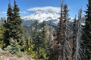
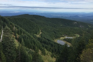
This area is basically the northwest and west sides of Mount Rainier National Park, then down to Highway 706. Lands are a mix of private, state and federal ownership. Some trips below are peakbagger trips, not the greatest hiking destinations.
Carbonado - Wilkenson Access
Kapowsin Tree Farm - Access Permit Required
Glacier View Wilderness Area
Elbe State Forest
Eatonville Area


Technically in King County