WillhiteWeb.com - Hiking, Climbing and Travel
Old Baldy is one of the most easily identifiable mountains from the south Puget Sound area. As a destination, winter is desirable as it has good winter accessibility and brush coverage. You cant go wrong with views as Rainier is one direction and all of Puget Sound is in the other.
Old Baldy Mountain
Distance: 2.5 miles
Elevation Gain: 2,500 feet
Summit Elevation: 5,796 feet
Access Rating: Good Gravel
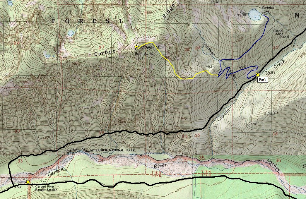
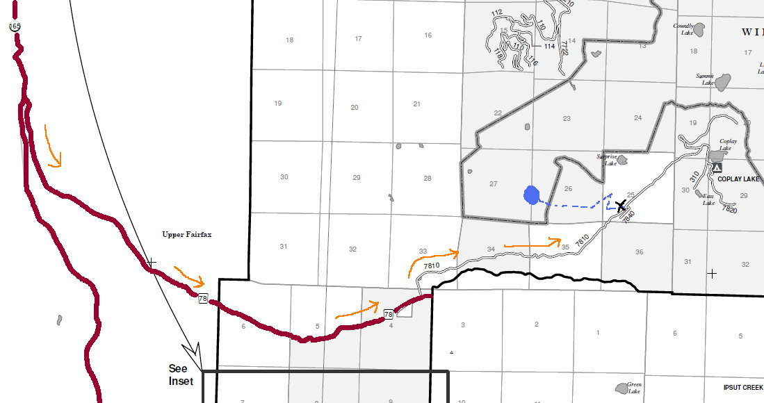
Find your way to the Carbon River entrance to Mount Rainier National Park. Just before the entrance, turn left where you see a long bridge crossing the Carbon River. Cross the bridge, turn right. Follow this road watching for when it turns north into the Cayada Creek drainage. After about a mile, be looking for an old road cutting back left.
Access:
Walk up the old road. Follow your progress by the switchbacks on the map. At the final turn, leave the road and head in a northwestern, then western direction to use a ridge. Soon the ridge turns north, follow until 4,900 feet, then cut left into bowl, go up to saddle between summits. Climb southwest on the ridge to the top.
Old Baldy Mountain Route:
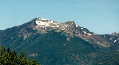
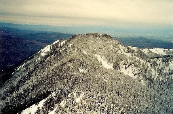
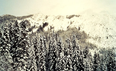
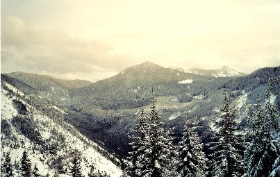
Old Baldy Mountain from the Carbon River Entrance area
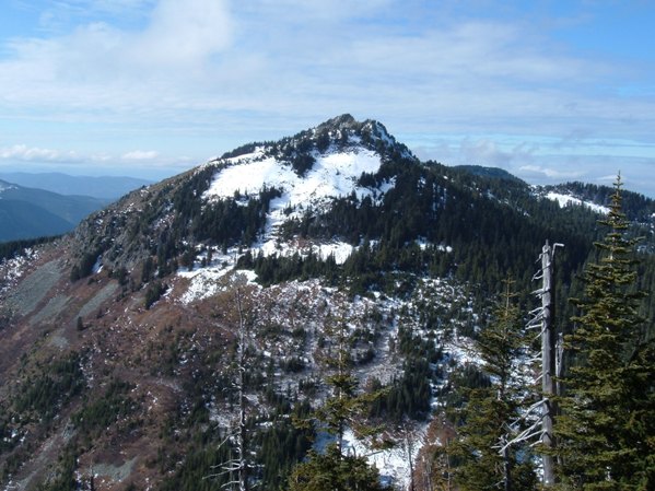
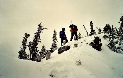
On the ridge near the summit
Old Baldy Mountain from the NE on the slopes of Carbon Ridge
Florence Peak
Bearhead Mountain
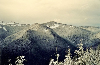
Burnt Mountain from Old Baldy Mountain
Carbon Ridge


