For the north access: At the south end of Wilkenson, veer left on Railroad Avenue. Follow to a right turn on Quinnon Road passing the old schoolhouse. The road will climb steeply passing Sunset Lake Church Camp. Follow FR 7710 until a major Y intersection. Go left on FR 7720. I do not know how far you can drive these days up the last 4 mile long logging road.
www.willhiteweb.com - Hiking, Climbing and Travel
Pitcher Mountain is very recognizable from many vantage points. Pitcher is in the Clearwater Wilderness, just north of Mount Rainier National Park. With just over 1,000 feet of prominence, it is the highest point along the Carbon Ridgeline which runs from Burnt Mountain to the Rooster Comb.
Pitcher Mountain
Distance: 3 miles
Elevation Gain: 1,800+ feet
Summit Elevation: 5,941 feet
Access Rating: 3
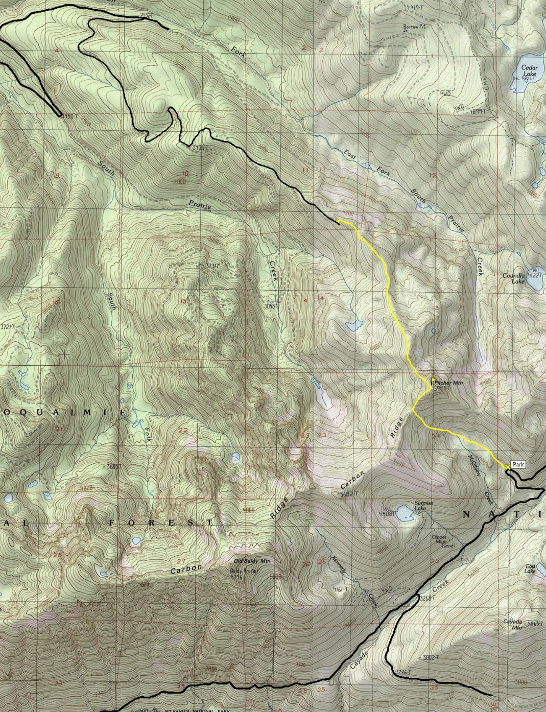
For the south access, drive west on State Highway 410 from Enumclaw, 5.0 miles to the junction with State Highway 165 just west of Buckley. Continue for 10.5 miles to the junction of Carbon River Highway and Mowich Lake Highway. Turn left onto the Carbon River Highway and follow it 7.7 miles to Cayada Creek Road #7810. Cross the bridge over the river and continue around 6 miles to a hairpin curve at the McGilver Creek drainage.
Access:
From the end of the road, gain the ridge and hike it to the summit. Some ups and downs. Route could be brushy without snow. Snowshoeing wasn't a problem when I did it.
North Route:
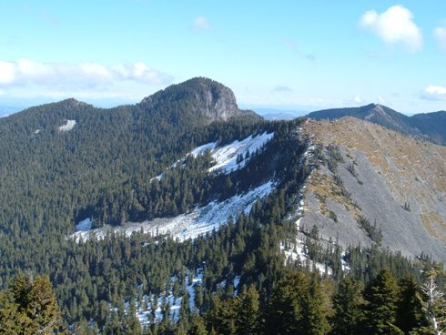
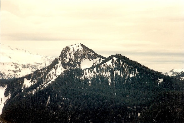
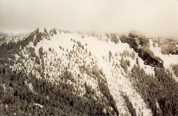
View toward Old Baldy
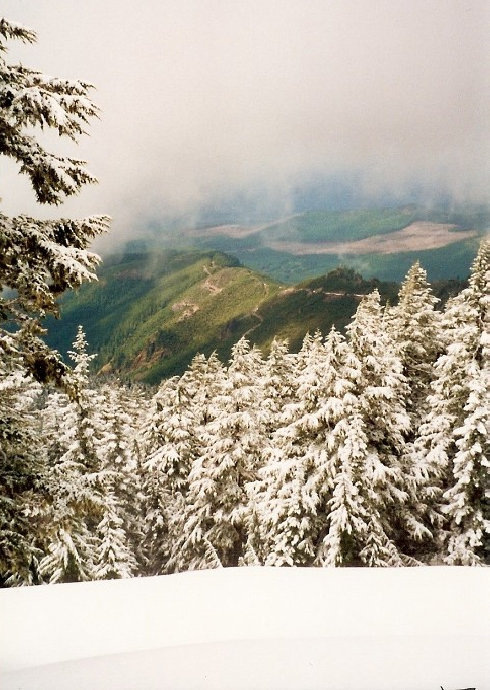
Looking down the west ridge and road I came up
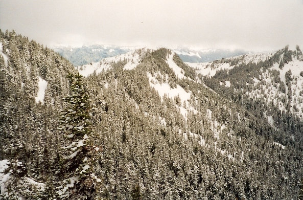
South Ridge of Pitcher Mountain
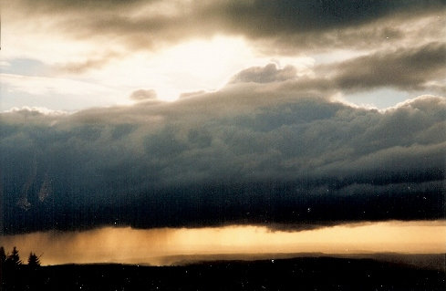
Storm clouds over Puget Sound
Pitcher Mountain from southwest on Carbon Ridge Highpoint
Pitcher Mountain from the north on Third Sister Mountain
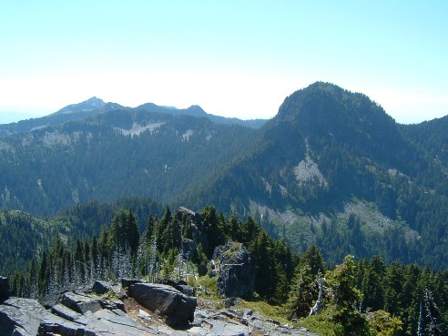
Pitcher from the east on Summit Lake Peak (point 5737)
South Route:
Didn't do this route but from the switchback, walk an abandoned spur and trail into the basin. Climb up to a notch SW of the summit, drop 200 feet on other side. Traverse to the right to a ridge for the final climb to the summit (from Becky Guide).
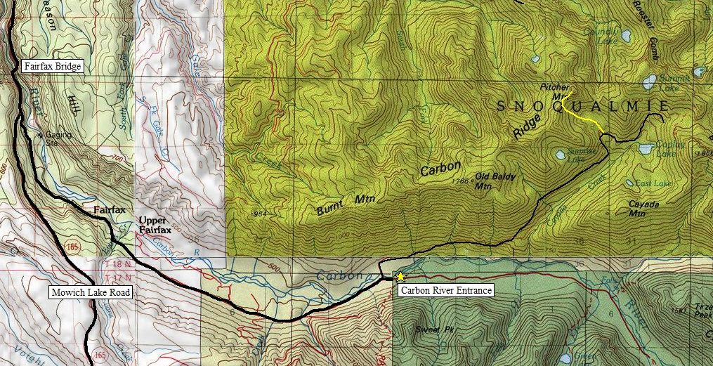
South Access Map
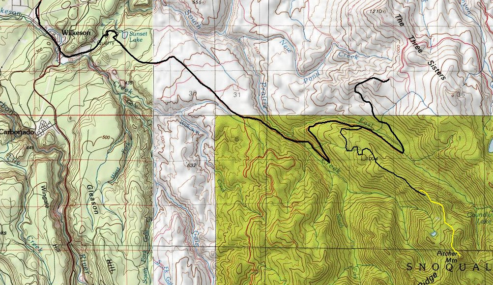
North Access Map
To Carbon River Road


