Visiting this site will give you an opportunity to learn about Pack Forest, owned by the University of Washington. Since the original purchase/gift of 334 acres in 1926 by lumberman Charles Lathrop Pack, today Charles L. Pack Experimental Forest encompasses 4,300 acres of working forestland. All the roads and trails are open to hiking. The highest point in the forest is the old lookout site.
For more than 70 years, Pack Forest has provided a forested classroom for students. Forest management undergraduates at the college spent a quarter of their academic year in residency at Pack Forest. Here they received field training and invaluable skills in a isolated location for work and study with minimal interruption. I lived at Pack Forest for 3 months while working toward my Forest Management Degree. Just before I graduated, the politics of the UW finally overpowered the evil College of Forest Resources, dissolved the college and the Forest Management Degree, then changed the name of the program to the School of Environmental and Forest Sciences. The Pack Forest tradition was gone, no more 3 month training of future Foresters at Pack Forest.
Pack Forest Lookout - Hugo Peak
Distance: 3 miles
Elevation Gain: 1,500+ feet
Summit Elevation: 2,050 feet (2,034 on older maps)
Road Access: Paved
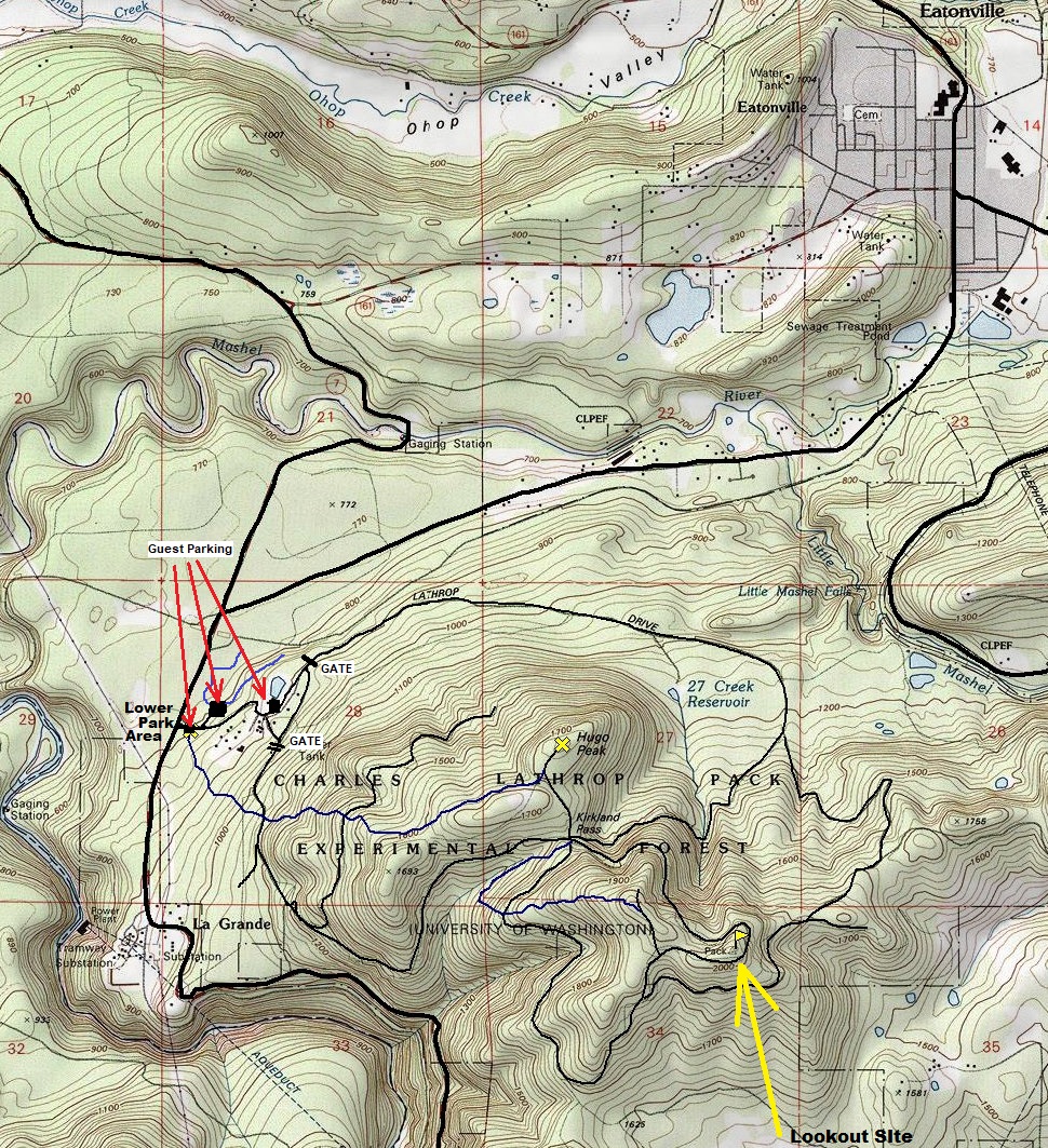
From Eatonville, drive Hwy 161 to the junction with highway 7. Turn left and in a short distance is the Pack Forest Entrance. Park at the stump on display of a tree that is 300 years old. This parking at the entrance is where the Hugo Peak Trail starts. Other parking areas are further up to other trails like the popular waterfall.
Access:
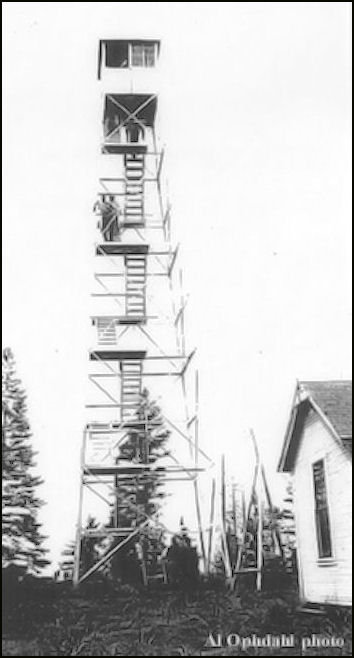
In 1929, a 66 foot steel tower with 7 by 7 foot cab was built and used as part of the UW Forestry program. There was also a ground living quarters cabin. We have a great visual of what the tower could see in the 1934 panoramics (shown below). In 1941 the USGS placed a monument at the site called PACK. The following year in 1942 the tower was used (for a short period only) by the AWS for spotting airplanes during the war. Use continued for fire and the lookout was abandoned sometime in the 1950s. It is not known where the lookout ended up but I swear I came across it on the ground while doing forestry work on the ridge when attending the UW forestry school at Pack Forest.
Lookout History:
The best plan is to design a hike that is mostly a loop so you can see the most. First, maybe hike the Hugo Peak Trail to the summit of Hugo. Then, drop down to Kirkland Pass on the road. This is the central point of Pack Forest, a 5-way intersection. This pass is in the "Trail of the Giantss" section of Old Growth Forest. These trees survived a fire over 200 years ago. From Kirkland Pass, you can take the road around the north side of the summit ridge or take the south road to the Windy Ridge Trail which climbs up the ridge. The highest point of the road has a short side trail going to a memorial. Somewhere in this area are 4 footings now hiding beneath waist high brush.
Route:


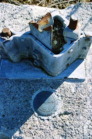
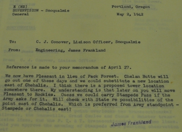
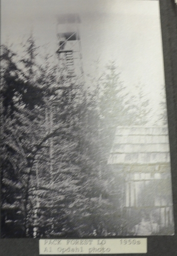
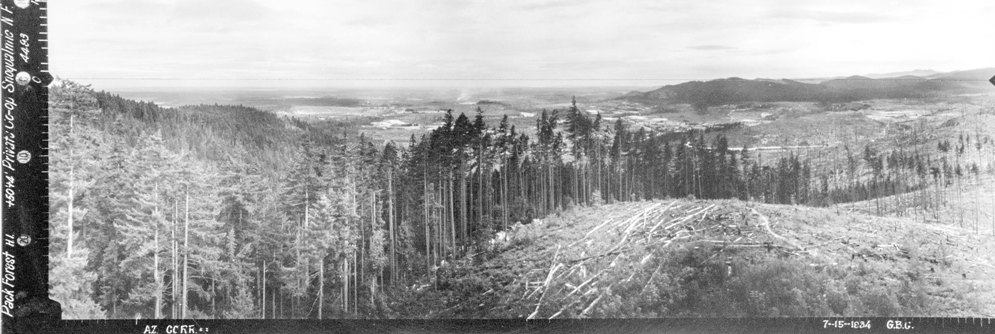
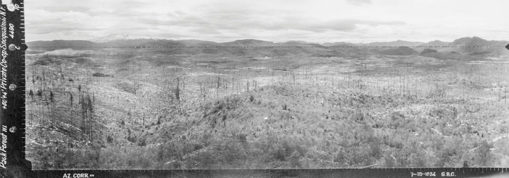
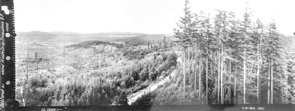
Southwest 1934
Southeast 1934
North 1934
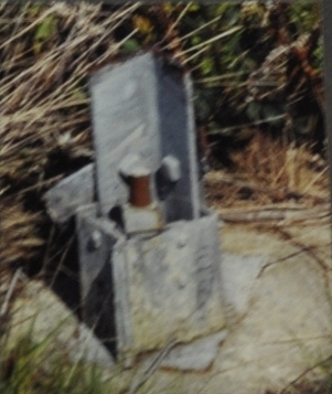
2003 Irene Potter photo of footing
Pack Forest Lookout in the 1940s
Pack Forest Lookout in the 1950s
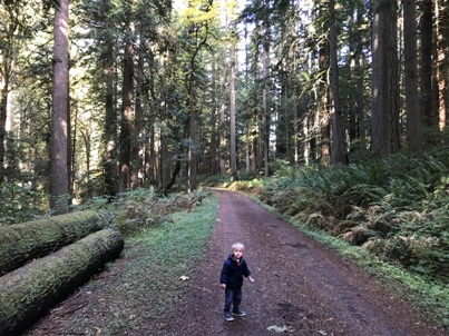
In the old-growth forest
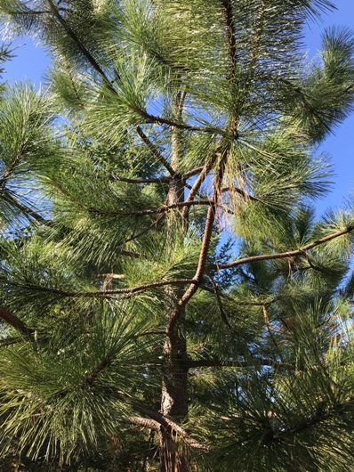
There are pine trees on the summit
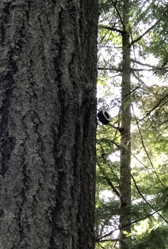
Surviving phone insulator near Kirkland Pass
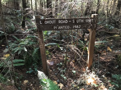
This sign with the name Lookout Road - South Unit, was on the spur road west of the lookout site.
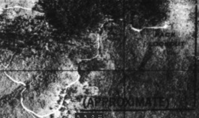
1944 Army Aerial Photograph with a label showing Pack Lookout
Footing with directional benchmark
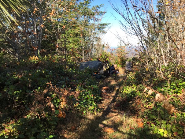
Highest point and said to be location of footings.....if you can find them under the brush. Year 2019
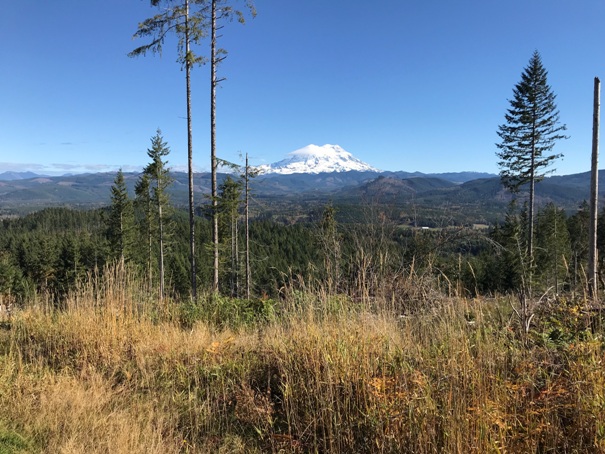
Mt. Rainier from harvest area a very short distance from the lookout site
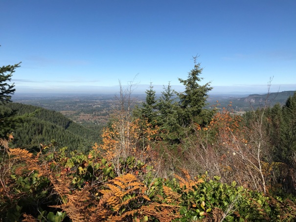
Views north from the lookout area
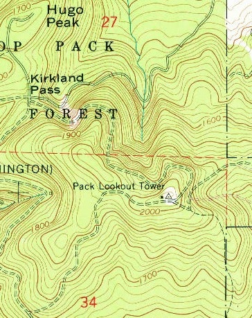
1959 USGS - 1976 update
Accessability in 1942
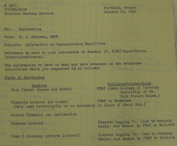
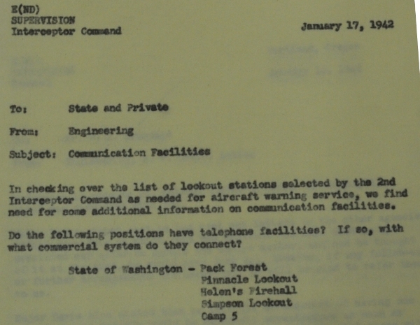
Setting up the AWS during January 1942
There was a house and tower with telephone connection already in January 1942.
AWS observers
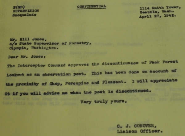
Site was quickly discontinued by April 1942 since coverage was good from other sites.
By May 2 it was no longer in use.
Take roads or a mix of roads and trails to the lookout site.
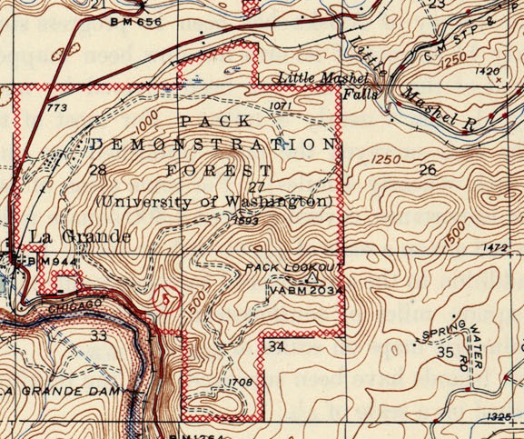
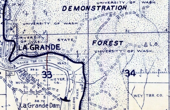
Still on the 1960 Metsker Map
On a 1944 map


