
WillhiteWeb.com - Hiking, Climbing and Travel
An old guidebook I have said "from the park in Orting town center, search the crest of a hill lying straight south. The tall, lone pole that gives Spar Pole Hill its name can be seen stabbing the sky." Those days are gone as the trees have re-grown and the once bare hill is now replaced with much higher towers made of metal. There is a long history of hikers walking the roads around Spar Pole Hill but in recent years, many access points have been blocked and posted "no trespassing". A past access point was the Voight Creek Gate off Patterson Creek Road. Recent changes in ownership to Hancock Timber have made it even more complicated. Spar Pole is now part of their Kapowsin Timberlands Block that requires an expensive permit to hike on. So, for now, this page will just contain informational data incase you wanted to get a permit. At the time I went up, I was living in the Buttes Development. This is a major housing complex at the base of Spar Pole Hill. I was able to walk from my house to the summit, mostly on logging roads, a bit of brush bashing, all while carrying a 5 month old on my back.
Spar Pole Hill
Distance: 8 miles
Elevation Gain: 1,300 feet
Summit Elevation: 1,904 feet
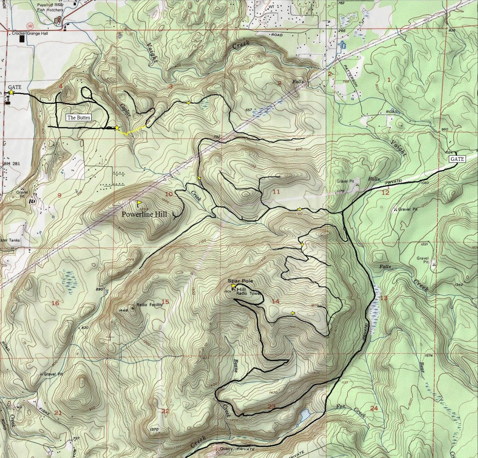
From the back of The Buttes at the large water tank, park. Walk through the RV park to a old road that heads south. Follow the road a short distance. Now cut left into the woods, dropping down to Voight Creek. This is the short bushwhacking section. Climb up the other side and soon you reach a logging road. Use my map below to see how I used logging roads to wind my way around until I finally reached the summit.
Route:
Spar Pole Hill
Powerline Hill
The Water Tower
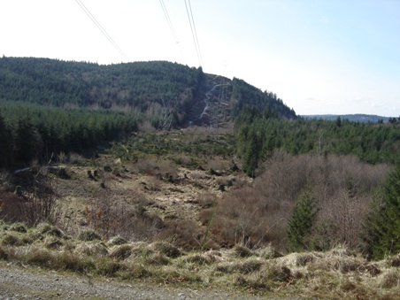
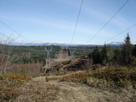



Powerline Hill as you pass under the powerlines
Looking east as you pass under the powerlines
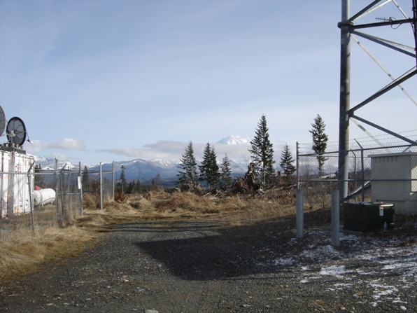
Near the summit looking to Cougar and Tiger Mountains
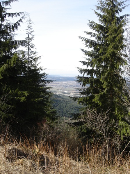
View of the Orting Valley from the powerlines
Looking east with Enumclaw on the left, Grass Mountains in the center and The Sisters on the right
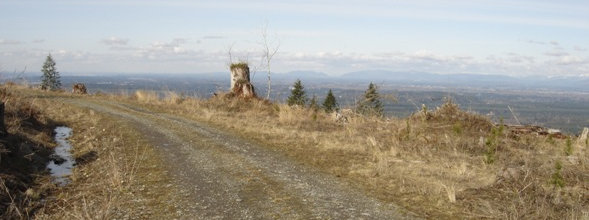
View east near the summit
Towers on the summit
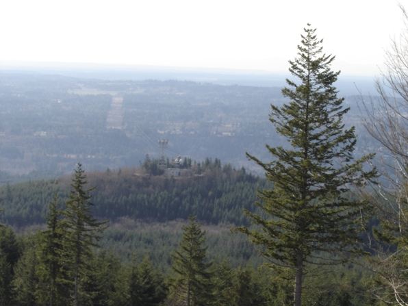
View of Orting from the summit
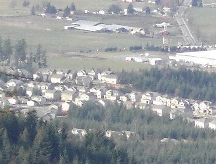
My house at the time viewed from the summit (zoom from picture above)
Microwave Hill to the west
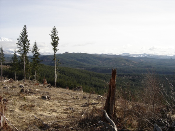
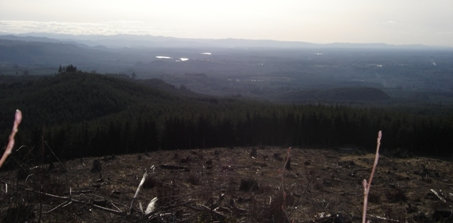
Looking SW from the summit area
Looking SE from the summit area to Cowling Ridge and the site of the old Electron Lookout
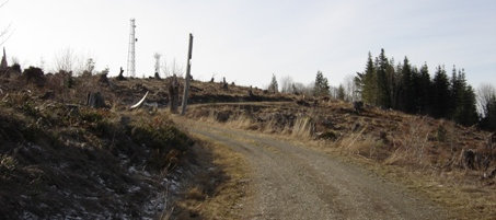
Final section of road to the towers
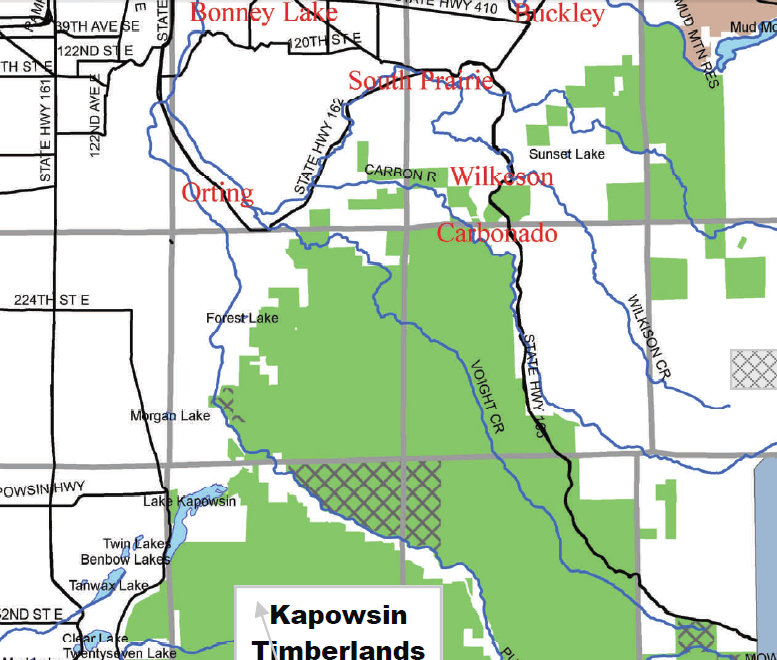
Map showing the Kapowsin Timberlands region requiring a permit
Topo map showing the route I took
The Water Tower


