WillhiteWeb.com - Hiking, Climbing and Travel
Alder BM is a small knob hiding from just about every view on nearby roads. It has very little to offer except a surprising view to the south once you reach the summit.
Alder Benchmark
Distance: 1\2 mile
Elevation Gain: 400 feet
Summit Elevation: 2,186 feet
Road Access: Paved
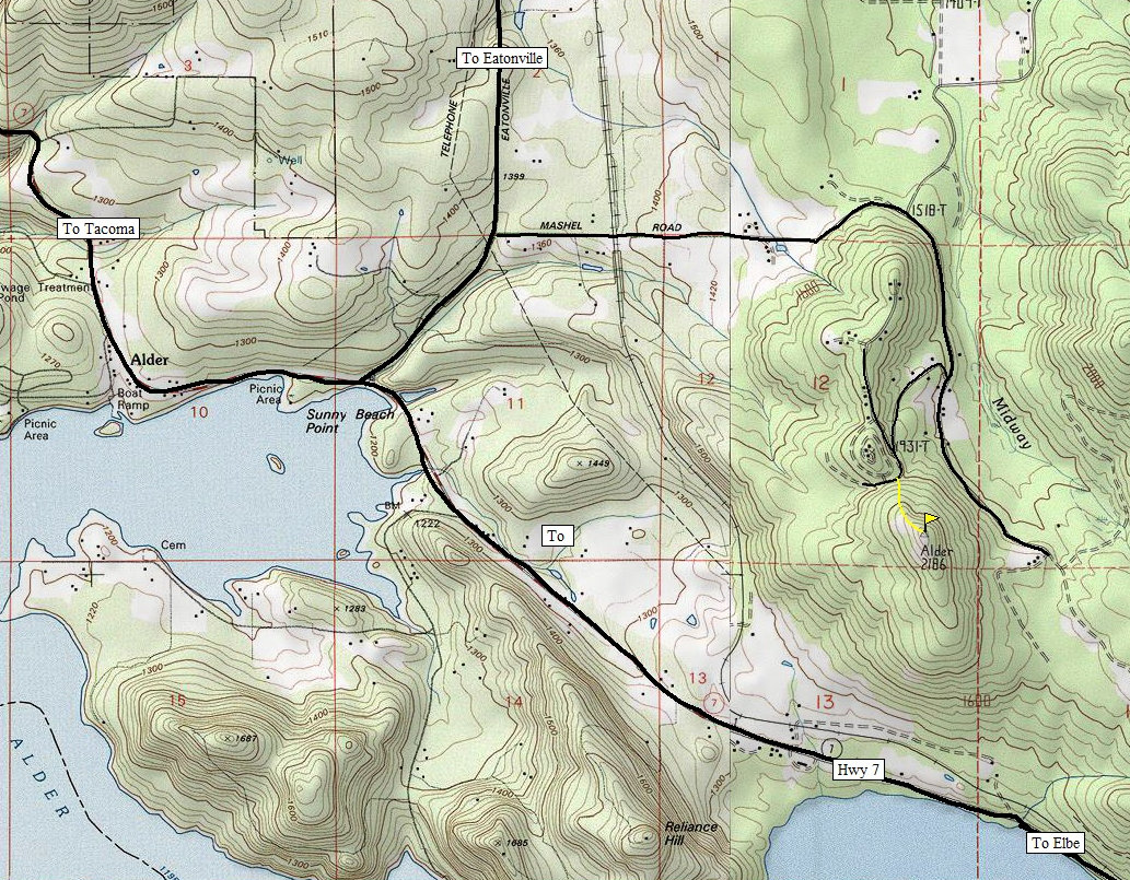
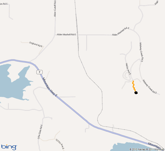
Take the Alder Cuttoff Road from Eatonville to just before the downhill drop to Highway 7. Turn East onton the Alder Mashell Road which will become Midway Creek Road. Make a right turn onto 503rd St. East which climbs up the hillside. Park near the top at the north ridge of Alder Benchmark.
Access:
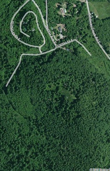
Just go up the north ridge until you reach the summit. The brush is not too bad, I may have even did this in shorts. My wife waited in the car so it did not take too long. I don't know if it is private property. There were no signs and it didn't feel like it although homes were in the area.
Route:

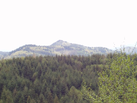
Alder Benchmark (I think) from Hugo Peak in Pack Forest


