WillhiteWeb.com - Hiking, Climbing and Travel
UpWind is the highest point in the Elbe Hills State Forest. The name comes from the Upwind Timber Sale that recently harvested the top of the mountain. I made my summit of this peak while working for the DNR on that sale. I was spray-painting leave trees and during a break, I strolled uphill 5 minutes up to the summit. At that time, totally covered in trees, no views. I believe the summit was harvested so there should be some grand views, if not, the approach should be quite scenic.
UpWind
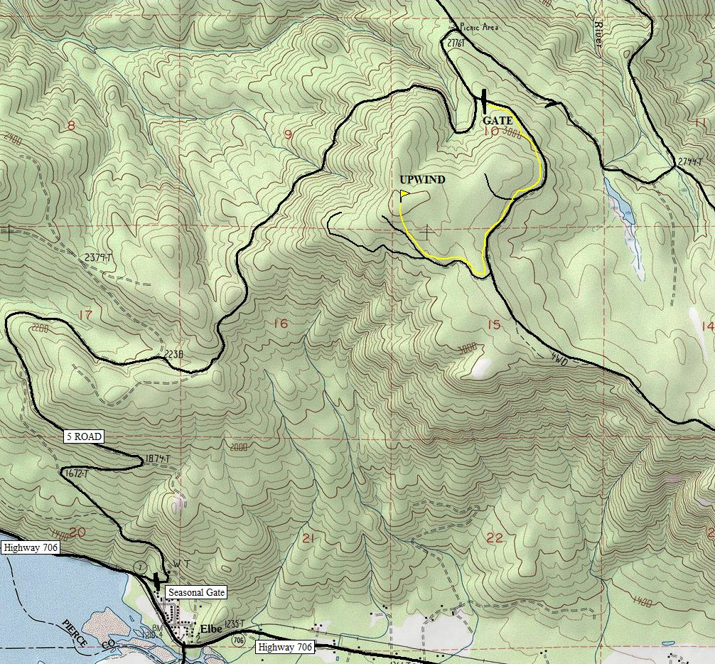
Distance: 1.6 miles via road walk
Elevation Gain: 300 feet
Summit Elevation: 3,220 feet
Road Access: Good Gravel
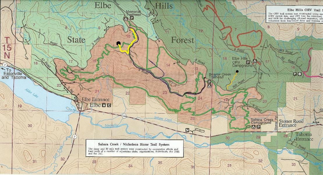
From Elbe, just north of town is the Elbe Gate to the Elbe Hills. There is a seasonal closure for wildlife but much of the year it is open. Follow the map until you see the gated 6 Road off on the right. Park and walk from there. You could also charge up the hill from the road before the gate for a more direct but brushy route.
Access:
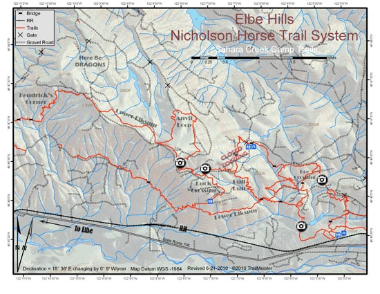
Route shown on the map is via roads and avoids any bushwhacking. The Nicholson Horse Trail System is another option but requires a long but interesting hike up from the Sahara Creek Horse Camp.
Route:


Elbe
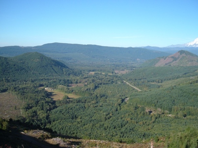
UpWind from Spiral Top
Upwind from Spiral Top


