Home
WillhiteWeb.com

Nisqually Trips

Washington Hiking
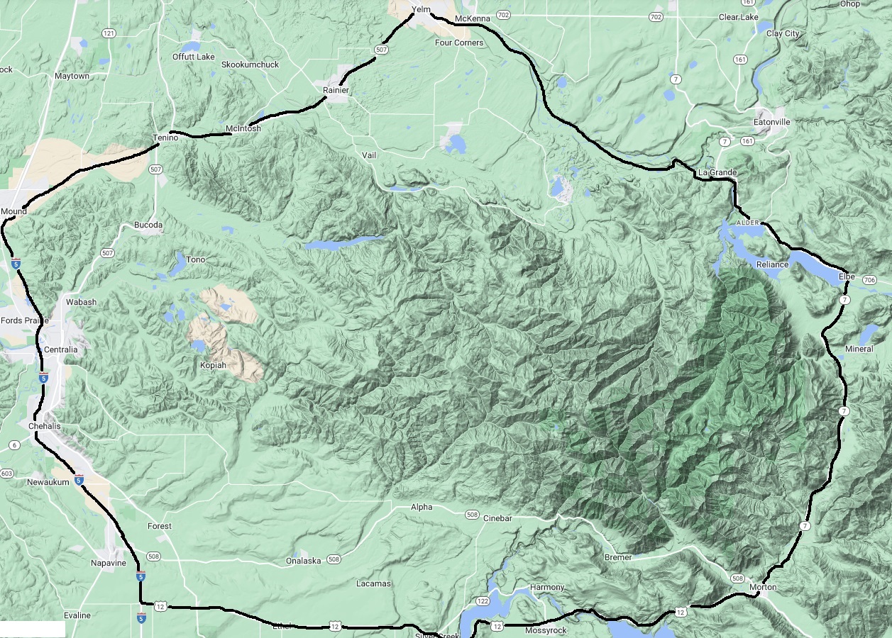
This area is between I-5, Hwy 507, Hwy 7, Hwy 12. Lands are a mix of private and federal ownership. Very few people go hiking in this area but solitude can be found here. A lot of these trips are on gated roads or abandoned trails. The area is a good off season destination if you live in the region.
Puget Sound Hikes
Nisqually trips are within the boundary of this map
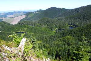
Crawford Mountain
Alder Overlook
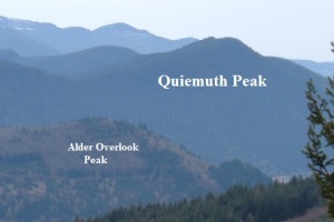
Quiemuth Peak
Bald Mountain
Stahl Mountain
Ladd Mountain Lookout Site
Spiral Top/Doubletop/Stumptop
Mt. Goodie
Mount Elbert and The Rockies
Huckleberry Mountain
Newaukum Lookout
Other places to visit inside this region:
West Fork Tilton Fire Lookout Site
Miller Hill
Alder Overlook Bald Mountain Crawford Mountain Spiral Top Huckleberry Ladd Mountain Miller Hill Mount Elbert Goodie Newaukum Quiemuth Peak Stahl nisqually map
1
These trips could now require a private timberlands permit. It seems to change every few years.
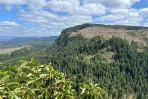
Porcupine Ridge Lookout Site
Windy Knob Lookout Site
Hunters Cabin Lookout Site
Lucas Creek Lookout Site
Clam Mountain Lookout Site
Pleasant Valley Lookout Site
Fling Mountain