Although there is a nearby Ladd Mountain, Ladd Lookout is several ridges to the south. Ladd was some sort of early logging camp so several landscape features carry the name. The fire lookout was built in 1955, there was ďa standard lookout station consisting of a forty foot tower mounted by a 14 x14 foot cabin on top. The cabin is of the new design developed by the Division of Forestry, are built of plywood and glass with an aluminum roof which overhangs the building to act as a sun shade." (Biennial Report of the Forestry Division) This DNR tower was abandoned in 1969.
Elevation: Elevation 4,000 feet (Shown as 3,950 in places)
Hiking Distance: Half mile
Elevation Gain: 200 feet
Access: High Clearance Best but walking isnít too far extra
Washington Fire Lookouts
Route
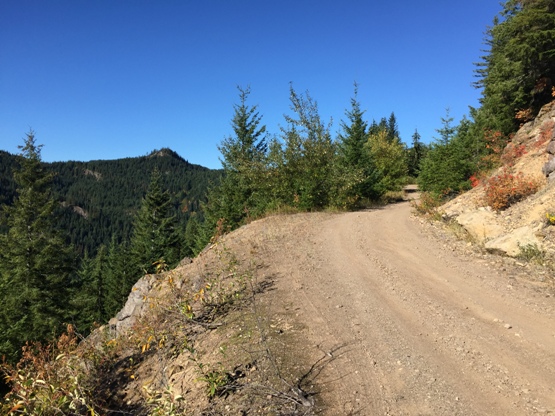
Follow the old road up to the summit.
Access
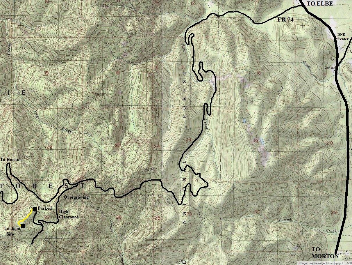
From Elbe, go south on Highway 7 for around 4 miles to a right turn on FR 74. Follow FR 74 as shown on the map below. FR 74 can also be used to access The Rockies, although not easily. The road once you turn off FR 74 is overgrowing. If not used enough by the off-road crowd, it will require walking in the future. For now, you can manage all the way almost to the lookout site. But, the final half mile is too overgrown to drive. Bring some cutters or in a few years the half mile walk will be a bushwhack.
Ladd Lookout Site
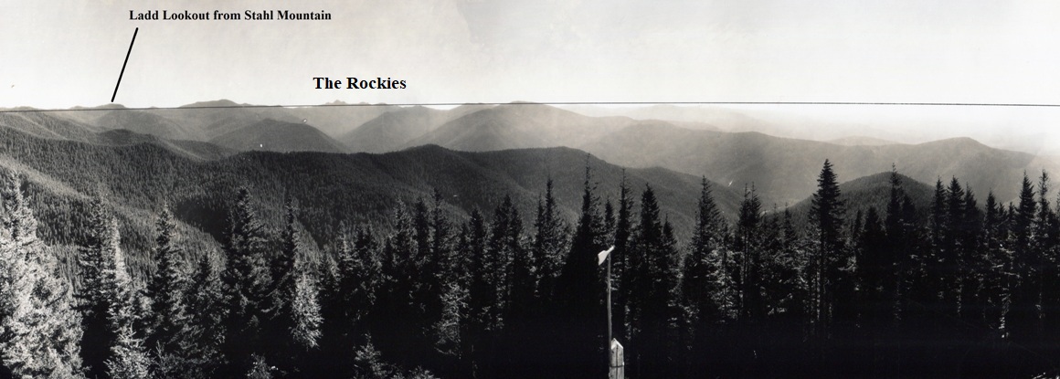
Although no lookout was on Ladd in the 1930's, here is the view of Ladd from Stahl Mountian Lookout
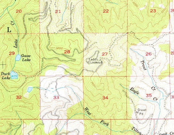
1957 USGS
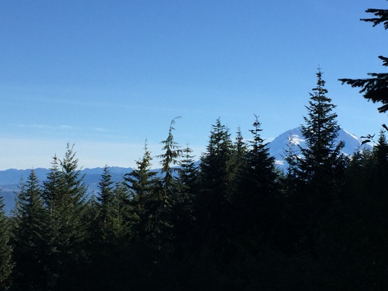
Mt. Rainier from road on way down just below the summit
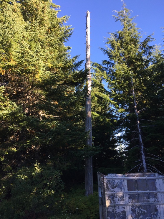
Pole tower
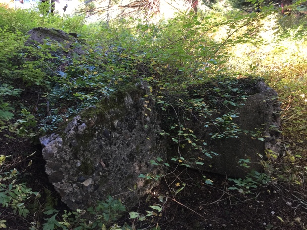
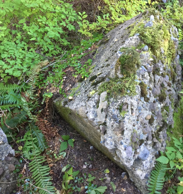
Footings
3 footings
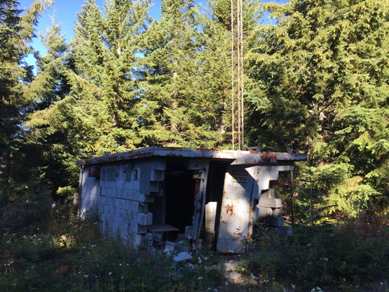
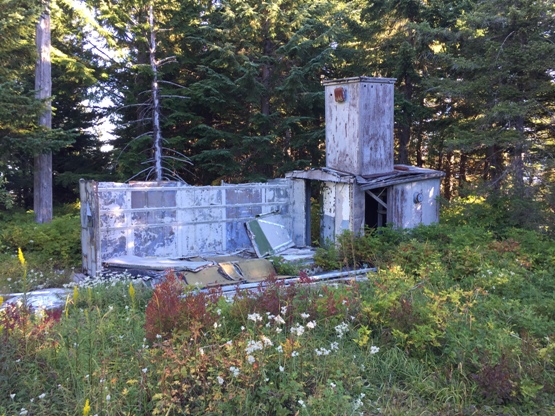
Old communications building
Old communications building
Forest Road 74
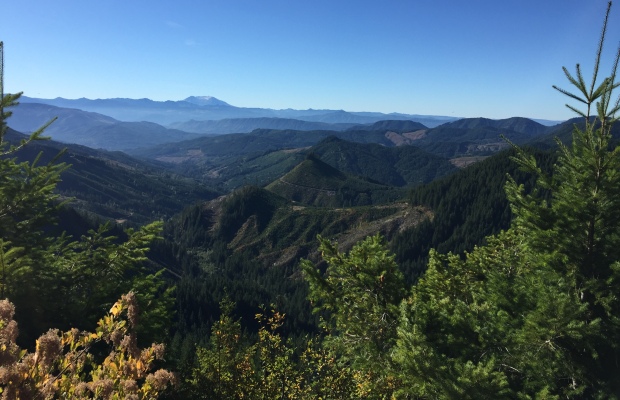
View south to St. Helens from FR 74

Preserved Ladd Lookout sign


