Dry Creek Lookout Site
WillhiteWeb.com
Access:
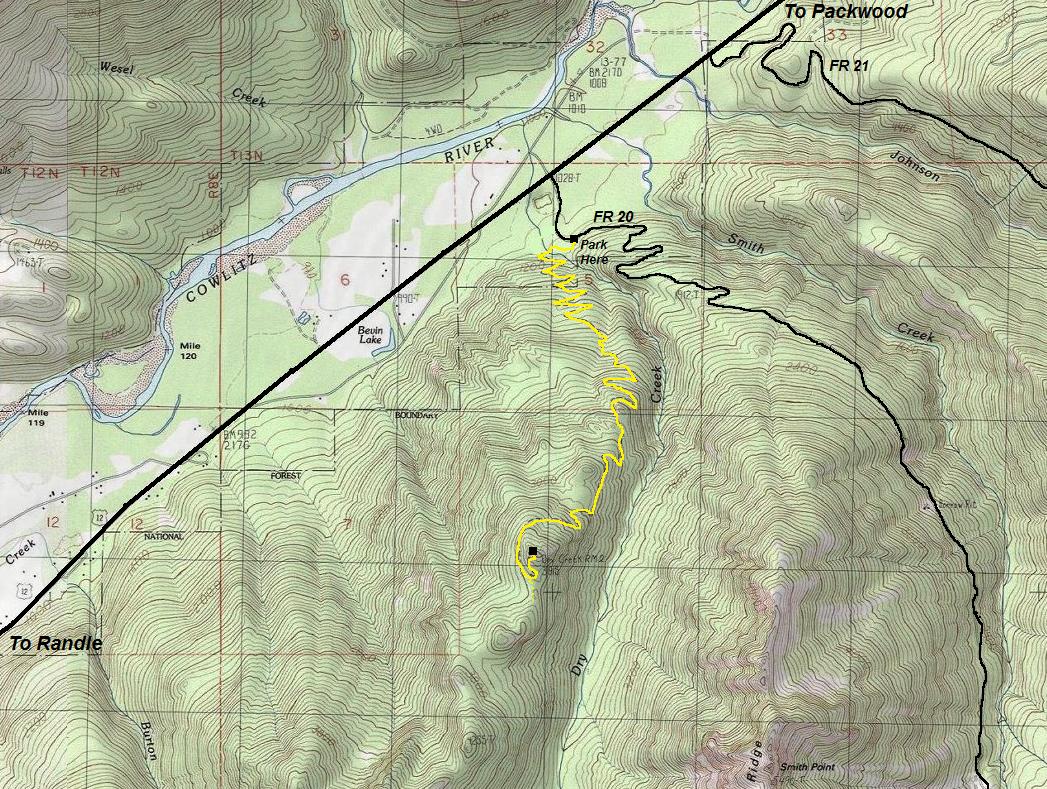
From Packwood, take Highway 12 west for 4 miles to FR20 (Smith Creek Road). Follow road past a few private homes for just 0.3 miles where there is a sign for the Dry Creek Trail and some parking on the side. This trail is open to motorcycles, hikers, horses, and bicycles.
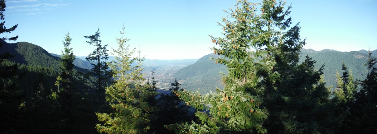
Located in the upper Cowlitz Valley, not far from Packwood, the Dry Creek Lookout once had a commanding view to the north and west. But this lower elevation perch gave little views in other directions where nearby ridges blocked the way. Today, the burned over forests of the lookout years have given way to a very nice new forest. The hike will be shaded the entire route until the top is reached.
Elevation: 3,815 feet
Distance: 3.5 miles
Elevation Gain: 2,750 feet
Access: Paved, short distance on good gravel
Route
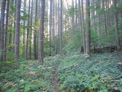
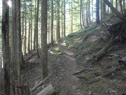
A very nice trail exists up to the lookout site. The trail was built for pack horses and is of the type with very few roots and rocks. Shortly after starting, the trail needs to cross Dry Creek on a log. This has caused several social trails. If you cross the log, the trail may even drop just a bit until you hit a sign pointing toward the correct route. Within a few more minutes, the trail climbs out of the old harvested area and into a nice older forest for the rest of the route. Just before the summit, there is a few minor trails continuing up the ridgeline but just stick to the most defined path veering left uphill. Also, at the summit, look for a minor trail heading east that leads to a eastern viewpoint (1 minute hike).
Lookout History
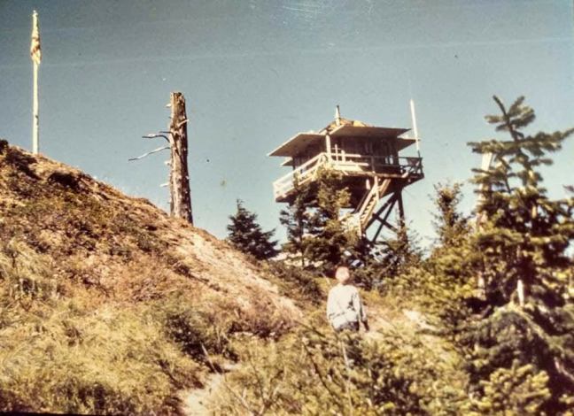
In 1935, the first structure was built, an L-5 cab.
In 1936, panoramic photos were taken at 16 feet above ground.
In 1946, the USGS placed benchmarks at the summit, close to the lookout house. They described it as a station on the summit of a round granite knob which is occupied by the Dry Creek Lookout House.
In 1947, a 20-foot timber tower was built with an L-4 cab on top.
In 1954, the snowpack was so heavy this year, even into July, that Dry Creek was the first lookout in the Packwood District to open being low elevation.
In 1956, it was the last lookout in the Packwood District to be locked up by Ranger Jack Fowler.
In 1960, the lookout was the first to be activated in the district on June 13 after two weeks of dry weather. But, the wet weather started shortly after and the fire watcher was brought back down.
In 1966, the last structure was removed.
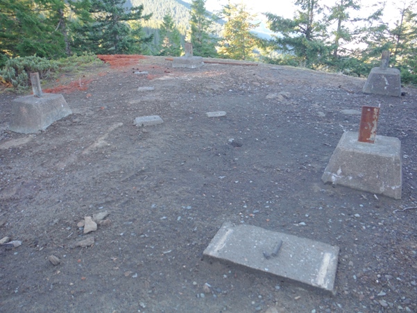
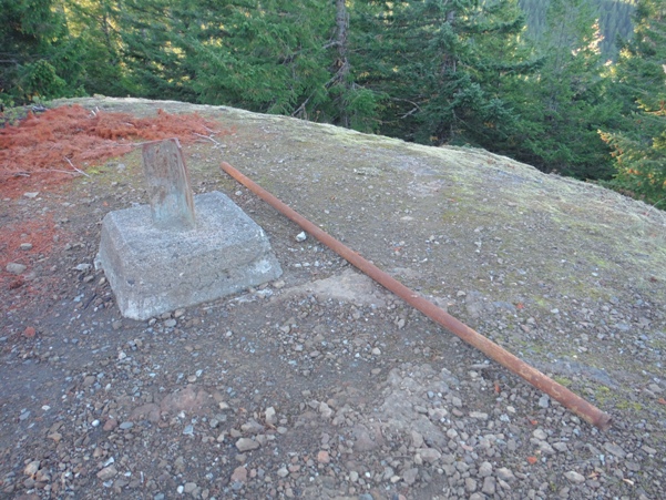
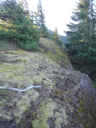
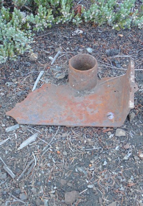
Today both footings still remain from the two structures.
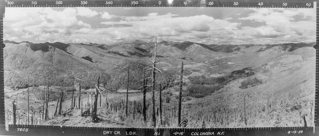
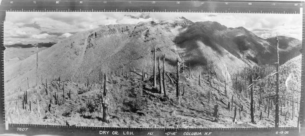
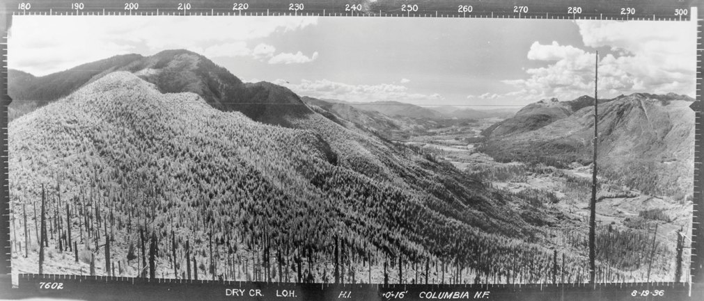
Looking Southwest 8-19-1936
Looking Southeast 8-19-1936
Looking North 8-19-1936
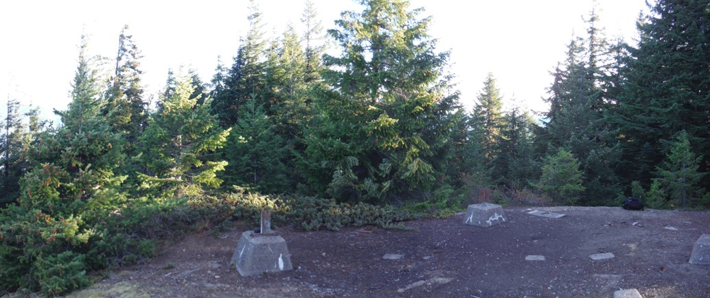
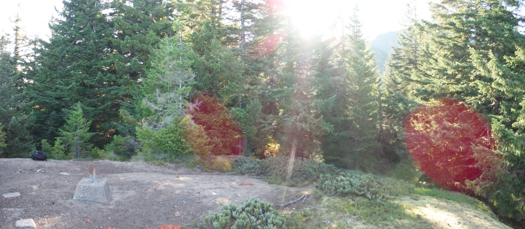
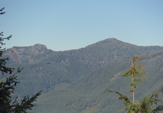
Looking Southwest 2016
Purcell Mountain
Davis Mountain
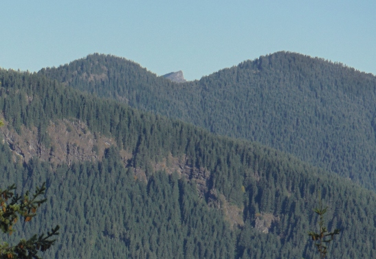
High Rock
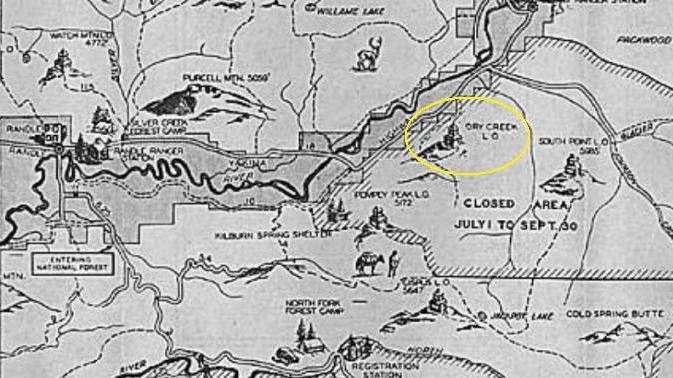
1937 Recreation Map
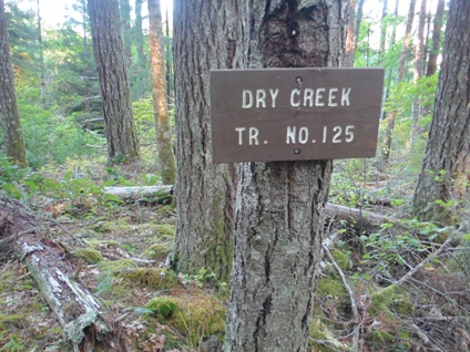
Dry Creek Trail
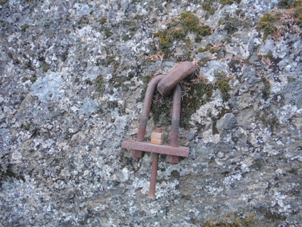
Huge anchor bolts in the cliffs below the lookout site
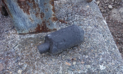
Burned batteries
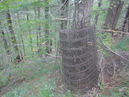
Fencing left near the summit
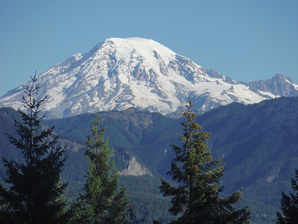
Mount Rainier from a viewpoint on the trail to the lookout
Lookout footings of both structures
The Dry Creek lookout could see the High Rock Lookout through a gap
Minor cliffs below the lookout site
Looking Southeast 2016
Looking North 2016
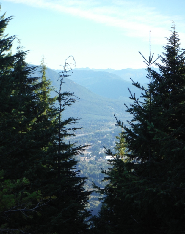
North zoom to Packwood through a gap in trees
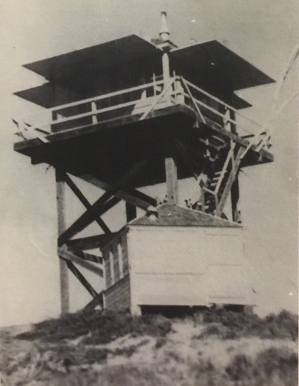
Both Dry Creek Lookouts
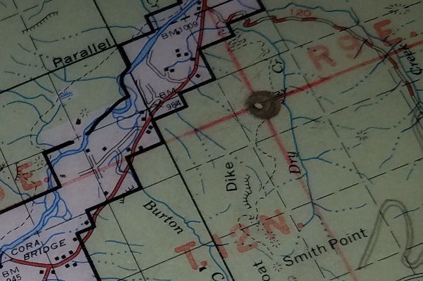
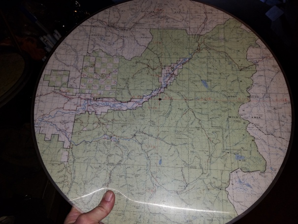
The firefinder map is still around
Shared by Kathy Davidson Gatti. Her parents were married in 1957 and that summer in 1957 they spent their honeymoon at the lookout. Her dad was the Forest Service lookout stationed there.
