
High Rock Lookout
WillhiteWeb.com
Distance: 1.5 miles
Summit Elevation: 5,685 feet
Elevation Gain: 1,365 feet
Road Access: Good Gravel but potholes in places
One of Washington's easiest to reach lookout buildings is High Rock Lookout, located just south of Mount Rainier National Park. The short 1.6 mile hike attracts the novice and experienced hikers because the views are superb and there is a lookout. High Rock is also a prominence peak at #45 in Washington with over 3,000 feet of it. Notice at the trailhead parking you can look in the distance to see the destination, such a rare thing in WA. The trail is extra fun because it follows along a forested ridge much of the way. Most of the way is shaded but being a ridge, there is no water. Although the road gets high, the hike still requires many steeper sections that the novice hikers get to suffer on. But, being a short trail, almost everyone seems to make it.
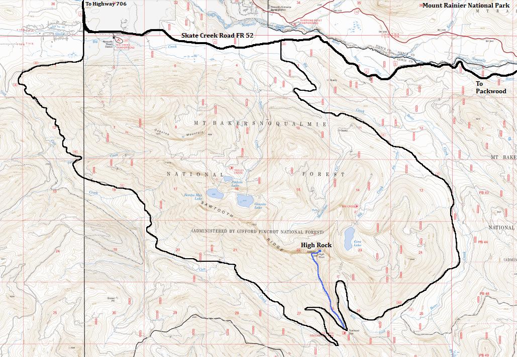
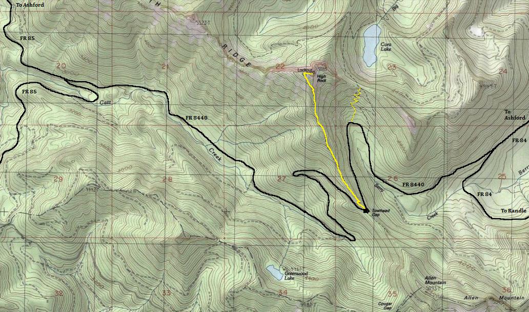
From Elbe, take SR 706 toward Mount Rainier for 10 miles, then turn right on Kernahan Road (Skate Creek Road FR 52). Now you have two ways to get to the trailhead at Towhead Gap. The most popular way is to follow Kernahan Road for 1.4 miles then turn right onto Osborn Road, followed by an immediate left onto FR85. Follow the paved but deteriorating FR85 6.5 miles to a junction. Go left (onto gravel FR 8440) following for 5 miles to Towhead Gap and the trailhead parking. An alternate access is shown on the map below, follow Kernahan Road for 4.7 miles, then turn right on gravel FR 84. Follow this for 6.8 miles bearing right onto FR 8440, continue 2.7 more miles to trailhead at Towhead Gap. This route is all gravel with minor potholes in places if it hasn't been graded in awhile.
Access:
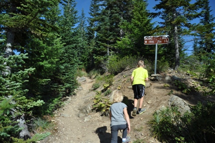
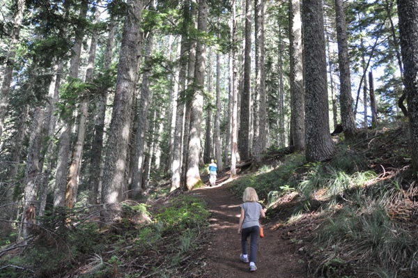
Take the signed trail from Towhead Gap, as several leave the area. Just follow the trail until you reach the lookout, expect some moderately steep sections of trail and a bit of sloped rock walking near the lookout building. Hold onto dogs and kids near the top, cliffs are everywhere. There once was cables to protect you from a sheer vertical drops but they are gone. There are a few viewpoints on the way up but the panorama doesn't reveal itself until the lookout building.
Route
In 1930, the gable-roofed L-4 cab atop a 1/2 story base was built (some debate on exact date). In 1930, the lookout was Ellis Preston. He finished his job with the Forest Service the first week of September and returned home to the apple orchards east of the mountains.
On July 24, 1934, panoramic images were taken.
The original trail was over 10 miles and a climb of 4,000 feet. Water was packed up the hill in cans, a 2-3 hour trip.
From 1938 to 1940, the lookout was Jim Hale. He discovered petrified logs near the summit. Mr. Hale decided to shorten the water route by going over the cliff, he ordered rope and made his way down to water that way. Later a man was killed when he fell from the rope, when he was stringing a new telephone line to the lookout. After the investigation the rope was thrown over the cliff and that was the end of the rope trail.
In 1966, the forest service employee at High Rock lookout spotted smoke to the south suspecting a forest blaze during dry conditions. He reported the smoke but there was no fire, it was the smoke from a mill at Packwood. John Czemerys of the Packwood ranger district say he spotted the smoke 12 or 15 miles away, so his vision was good.
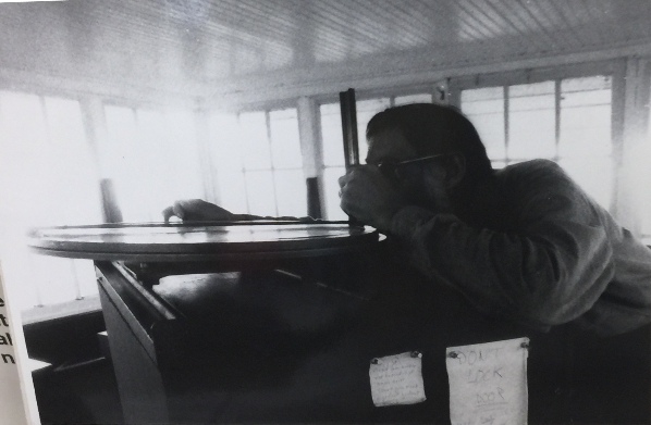
In 1987, the lookout was Bud Panco who manned on the summer weekends. He was very knowledgeable about the area and staffed the lookout for around 17 years.
In 2006, the lookout Bud Panco was not able to staff the lookout because in the previous winter of 2005, someone kicked in the door so hard that it took out the bottom three windows and caved in the door about two inches in the center. They broke up everything inside, bed and all, and threw all of it over the edge. Underneath, they kicked in the tool box and did a number on everything inside. They also threw all the quick fix repair parts over the edge.
In 2007, High Rock was open again. At some point the lookout was again left vacant for four years and was beginning to show signs of abandonment. Sleeping inside was discouraged because there was no lightning protection, and it smelled really bad.
In 2014, at the encouragement of Rick McClure; Cowlitz Valley Ranger District archaeologist Kevin Flores and the White Pass Country Historical Society applied and won a grant from the Valerie Sivinski Washington Preserves Fund. Some repairs were done but more was needed.
In 2016, the group above and The Sand Mountain Society started a Save The Rock campaign to raise money.
In 2020, the remaining windows and frames were removed for restoration by backpacking them out.
In 2021, the lookout cab was removed by helicopter for repair
History
From the south near Purcell Mountain
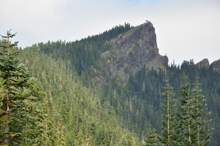
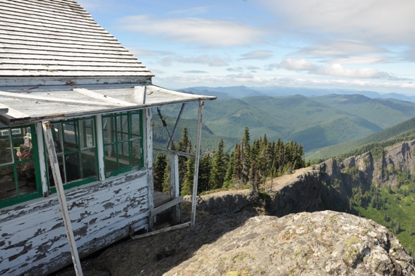
High Rock Lookout
Trailhead sign
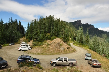
Towhead Gap trailhead with High Rock in view
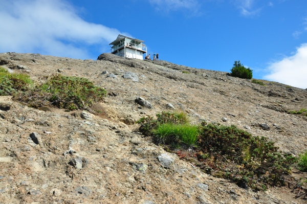
High Rock Lookout from the trailhead
The final climb to the lookout
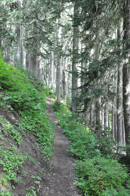
Hiking the trail
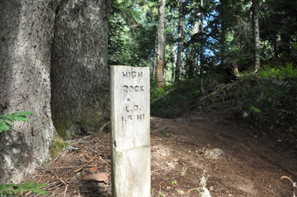
Second sign for High Rock L.O.
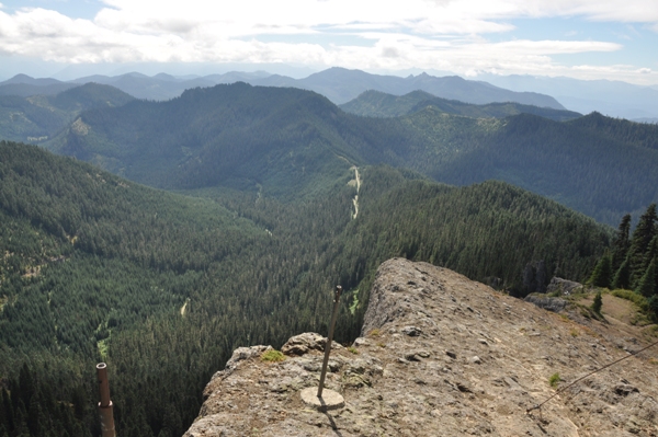
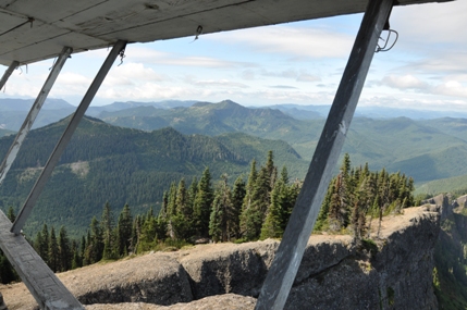
Looking west
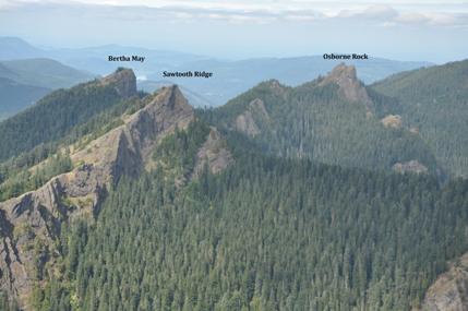
Other Sawtooth Ridge Peaks
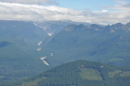
Looking up the Nisqually River with the Tatoosh Range on the right
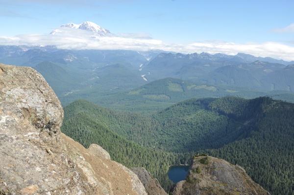
Looking to Mount Rainier with Cora Lake below
Looking down to Towhead Gap
Trailhead
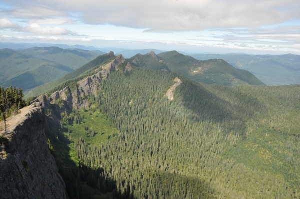
Looking west along Sawtooth Ridge
When High Rock was in need of care
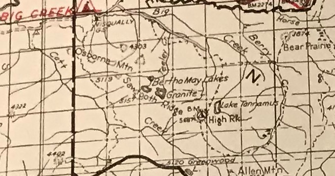
Map showing the two access points to Towhead Gap
Trail map for the High Rock Trail


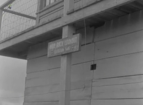

Story from Gene and Lizbeth Casey about a ladder. It sounds similar to the 1938 Jim Hale rope story above.
Looking North on July 24, 1934
Looking Southeast on July 24, 1934
Looking Southwest on July 24, 1934
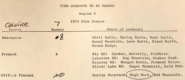
Staffing in 1973
But Panco and the Highrock firefinder
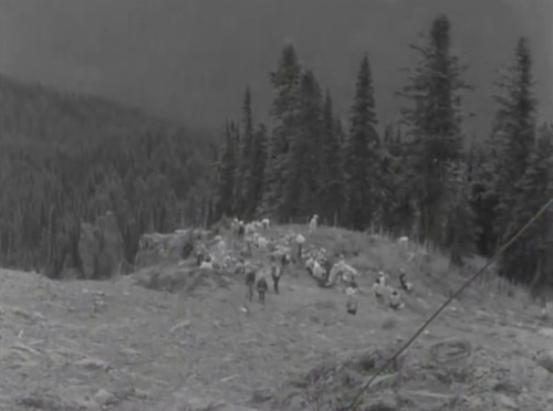
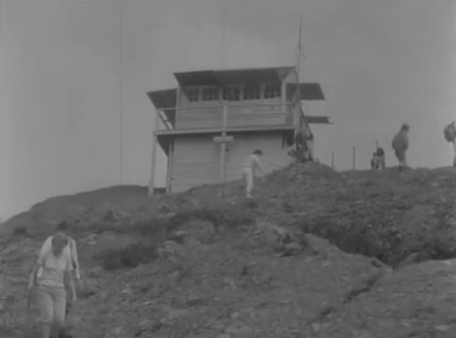
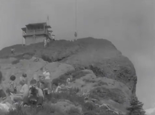
Mountaineers trip in 1966
Mountaineers trip in 1966
Mountaineers trip in 1966
Mountaineers trip in 1966
1940 Columbia National Forest


