
Purcell Mountain - Trails End
Deep in logging country near Randle is a former lookout site on a summit with over 2,200 feet of prominence. Although a trail goes to the summit, it is not maintained and does not offer much for views. Another approach in summer is possible that has better views and is much shorter. Parts of the original access trail is still hikeable, which starts at highway 12 near the start of the Davis Creek Road turn-off.
WillhiteWeb.com
Access:
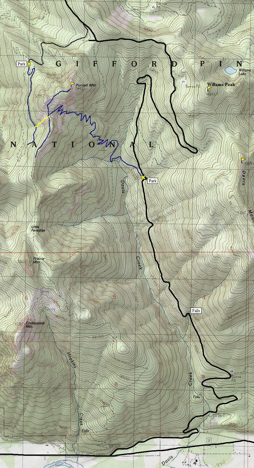
From Randle, follow Highway 12 east to the Davis Creek Road. Take it left and follow pavement to the gravel portion of the Davis Creek Road (about one mile). The gravel Davis Creek Road is a good gravel road that climbs deep into the Gifford Pinchot National Forest. The map below shows two options, one is the old trail, the other is a scramble route that has a bit of off trail but is much shorter. To reach the scramble route, follow the Davis Creek Road for 9.6 miles to a sharp left turn. Then continue on a narrow road that is subject to rockslides. At the west ridge of Purcell around 4,480 the road is blocked.
NW Route:
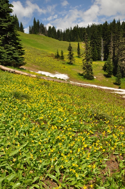
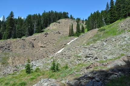
An overgrowing trail follows the old roadway along the west slopes of Purcell Mountain. At a point on the south side where the topo shows an open slope, find a view up the mountain in a drainage. It is brushy for only a minute then it is a class 2 scramble up an interesting washout area. At around 4,900 feet, cut up to the ridge on the right and find the faint old trail. Follow the trail to the summit through meadows and alpine forest.
Distance: 1.5 miles one-way
Elevation Gain: 1,000 feet
Summit Elevation: 5,422 feet
Access: Good Gravel Roads, last mile bumpy
Waterfalls:
The Davis Creek Road holds a few waterfalls just off the road. The first is when the road crosses Davis Creek Canyon on a very high bridge. Get out and look down. The river comes out of a cave like canyon that is very intriguing. Further up the road, at a creek crossing with a huge boulder on the side of the road is a waterfall in a bowl. Finally, at the trailhead for the old trail, a creek slides down the rocks, but scrambling up the slide area will reveal a waterfall further up.
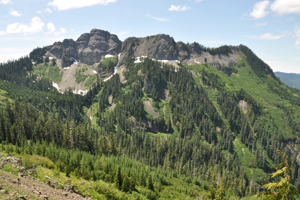
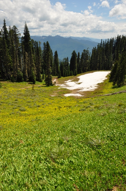
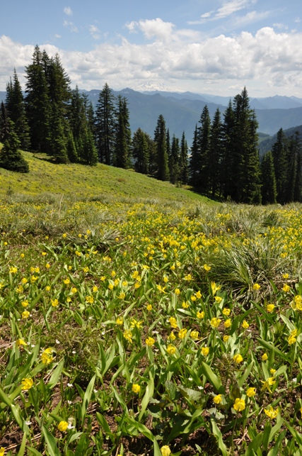
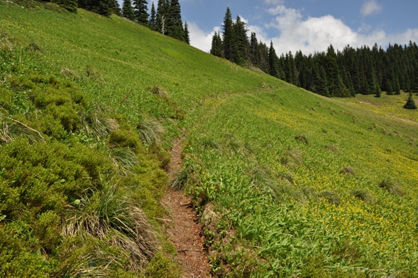
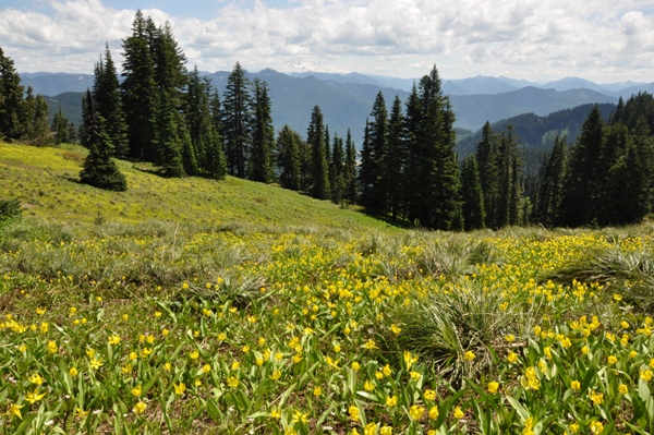
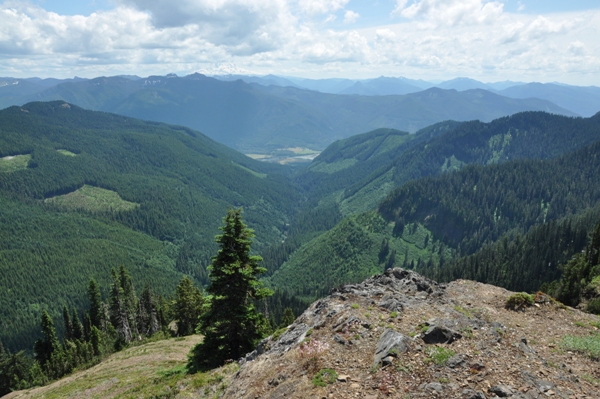
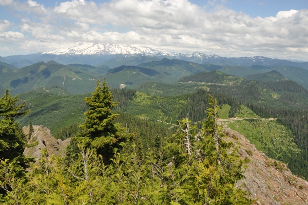
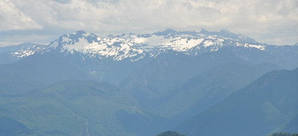
Purcell Mountain from the Davis Creek Road
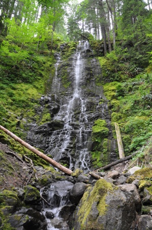
Davis Falls
Goat Rocks
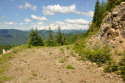
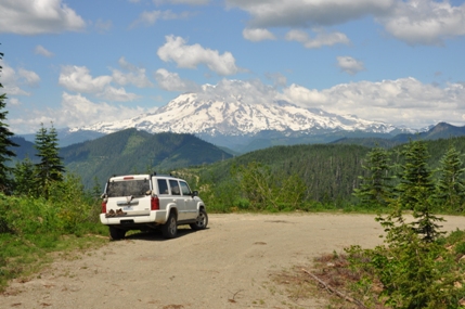
Mount Rainier
Cowlitz Valley
Looking southeast
Route to the summit
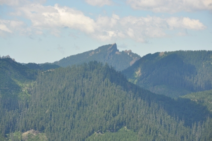
Whalehead Ridge
Highrock Lookout
Scramble route uses the right side of this draw
Parking area for the west side route
Views from the old road you walk
Lookout History:
In 1933, a ground cab lookout was built.
In 1934, panoramic images were taken from 10 feet above the ground on top of the cab (stove pipe in picture).
In the 1950s, the ground house was abandoned.
In the 1960s, the ground house was destroyed.
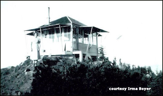
Purcell in 1938
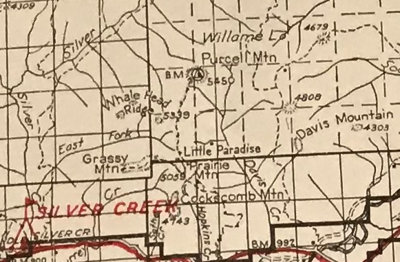
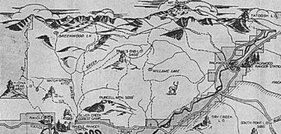
1937 Recreation map


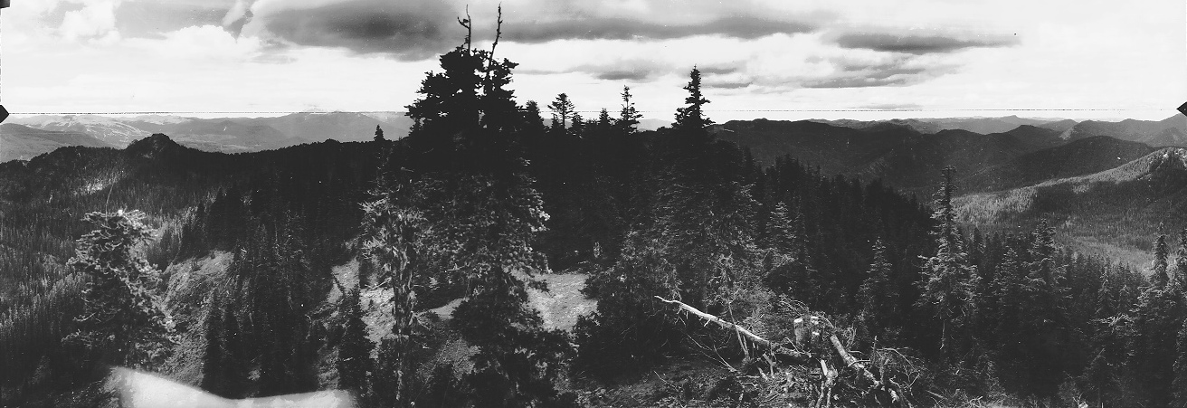
Southwest 1934
North 1934
Southeast 1934
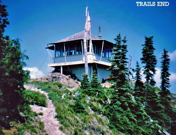
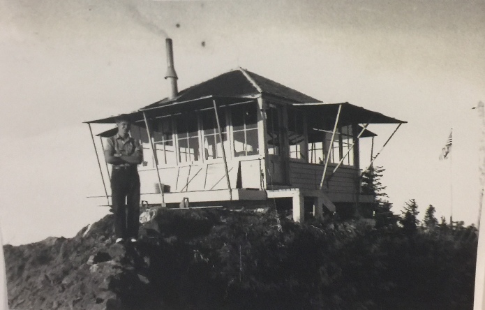
Charles Boyer, 1938
1940 Columbia National Forest Map


