
About an hour and a half from Salt Lake in the western desert of Utah is a small range of mountains called the Cedar Mountains. They are the first rise east of the Salt Flats and Dugway Desert. The highest point gets the name Cedar Peak. This is a unique wilderness area, created in 2006. You should not find many people out here; it is on the way to nowhere really. Because it is a peak with over 2000 feet of prominence, it does get a few visits a year. My wife and I both carried kids up this route so how bad could it be.
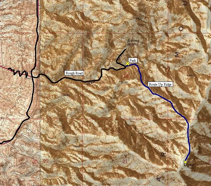
From your car, walk east up the valley for a few minutes looking for the best place to ascend the ridge on your right (south). It is open country so this should not be a problem. Once you obtain the ridge, the going gets easier as you take the ridgeline southeast up to the ridge crest of the Cedar Mountains. Here you will have great views as you walk south on a faint trail to the summit. Keep an eye out for the wild horses. The route is straightforward but follow the map so you get the correct summit.
Distance: 1.5 miles
Elevation Gain: <2,000 feet
Summit Elevation: 7,712 feet
Kids difficulty Rating: Hard
Access: Fair dirt roads
Cedar Mountain
WillhiteWeb.com
Access:
Route:
Drive I-80 to exit 56. Follow the paved road south 2 miles toward the Aragonite Plant. Look for a dirt road to the left located just before the plant facility. In one mile you should reach a BLM info board. Take the right fork south 13.2 miles to a jeep road going left at a cow watering hole. (There is one split off going left at the six mile mark that you do not want). The jeep road (according to the USGS map) is not too bad and might be possible for a 2WD vehicle if you are willing to risk it. The road is 1.3 miles up so you could always park at the watering hole and walk it. Go up the jeep road into the canyon. When the road switchbacks and gets really steep, stop, and park. The route starts here.
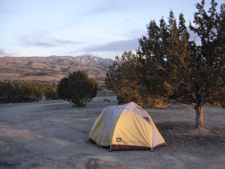
Camping with Cedar Mountain in background in Spring
Cedar Mountain from camp area in late fall
Got camp up just before sunset
A few snow patches left here and there
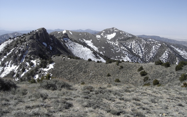
Cedar Mountains north of the summit
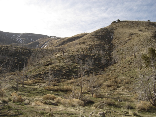
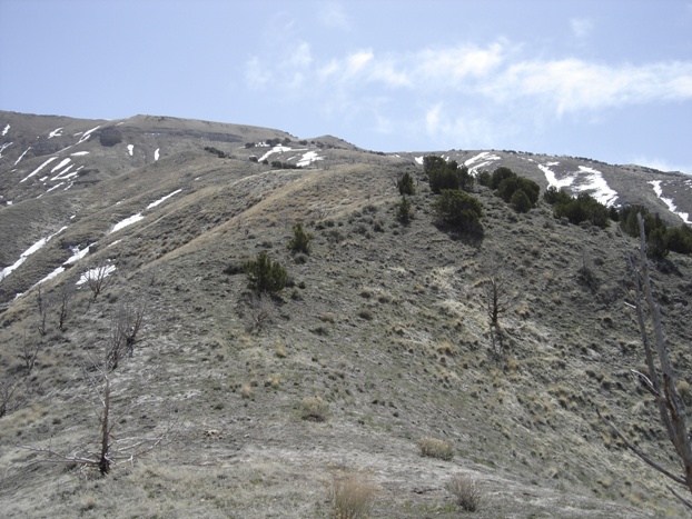
Route followed the ridge on the right. We climbed up on the right to the shrub trees on the skyline. From there, it was ridge walking to the summit.
On summit ridge, working our way south to the true summit
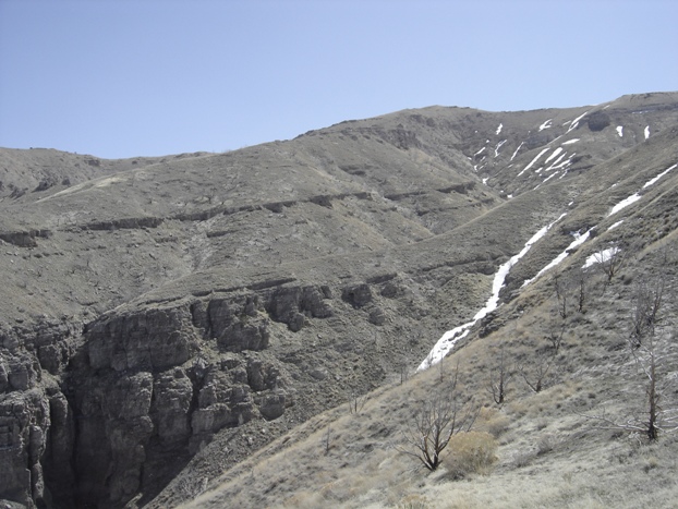
Cliffs on the left side of the ridgeline
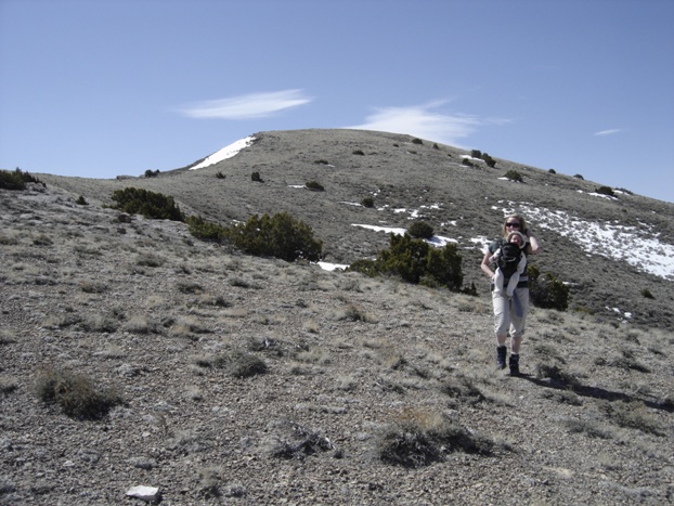
Going up the ridge with the true summit on right, out of view
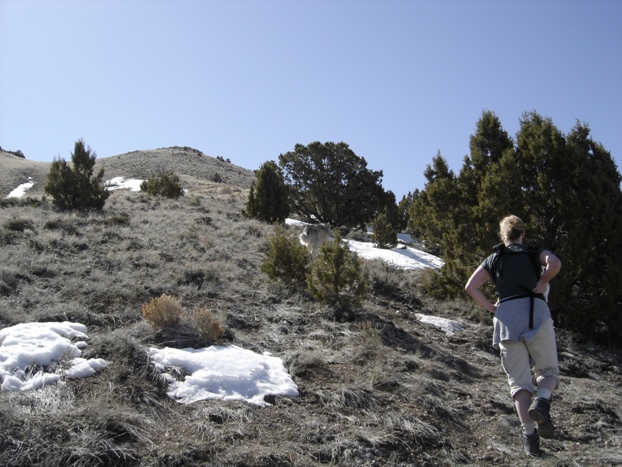
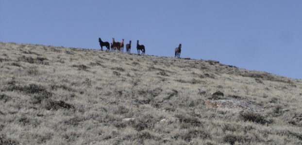
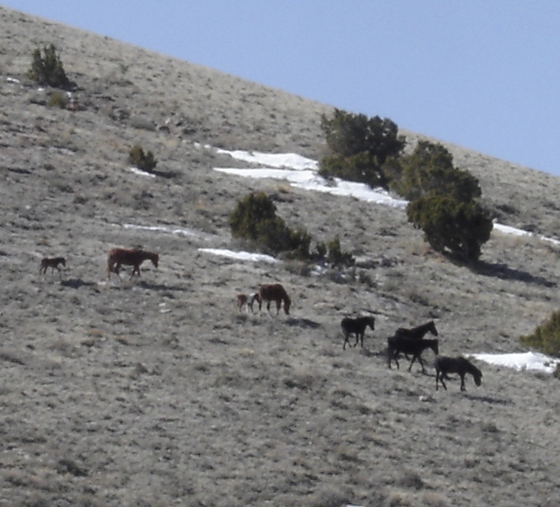
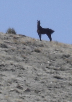
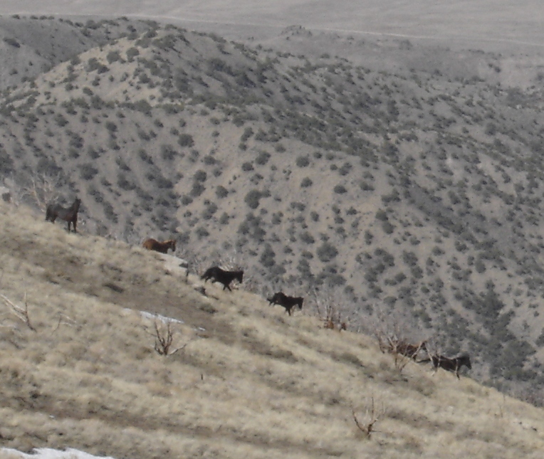
About halfway up, we came within 200 feet of wild horses. We met them again at the summit. The leader of the group was amazing looking. As Dozer approached, the leader would have everyone run while he stayed back to see if Dozer was changing tactics at the last minute.
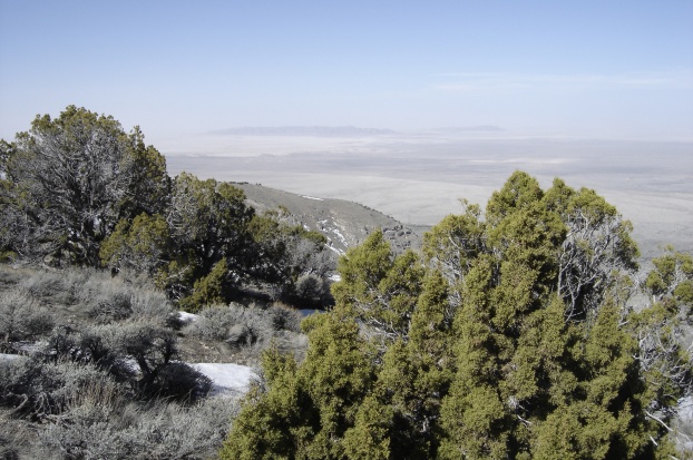
View south from the summit
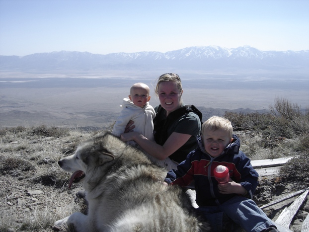
Family on the summit. I'm pretty sure we brought the youngest kids up there ever.
Looking East across Skull Valley to the Stansbury Range
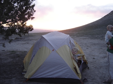
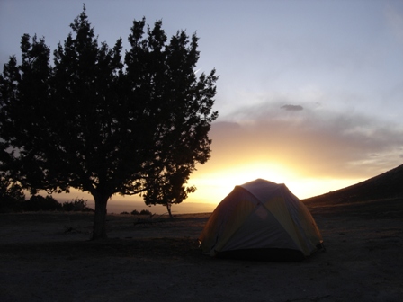
At camp up just before sunset
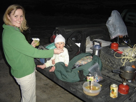
Dinner on the tailgate before the big climb

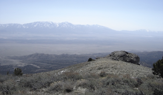

West view on way up
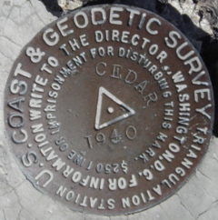
Cedar Benchmark


