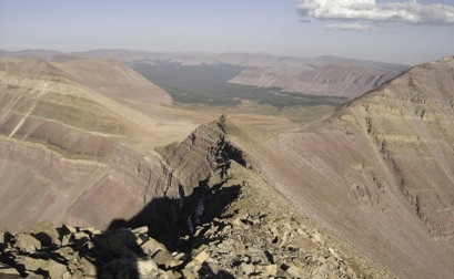
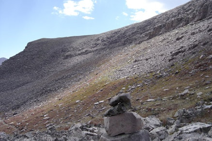
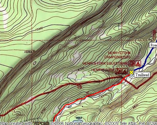
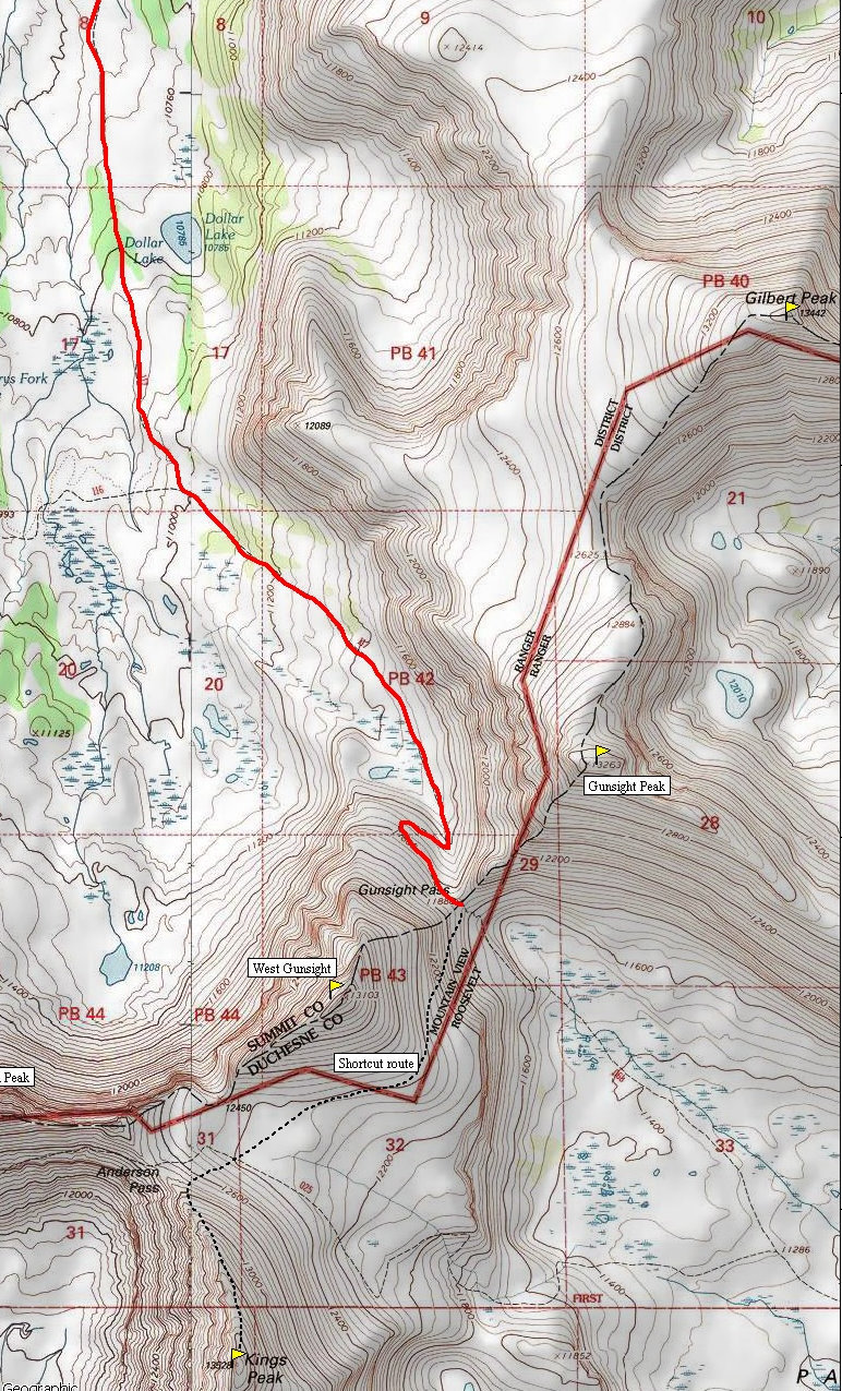
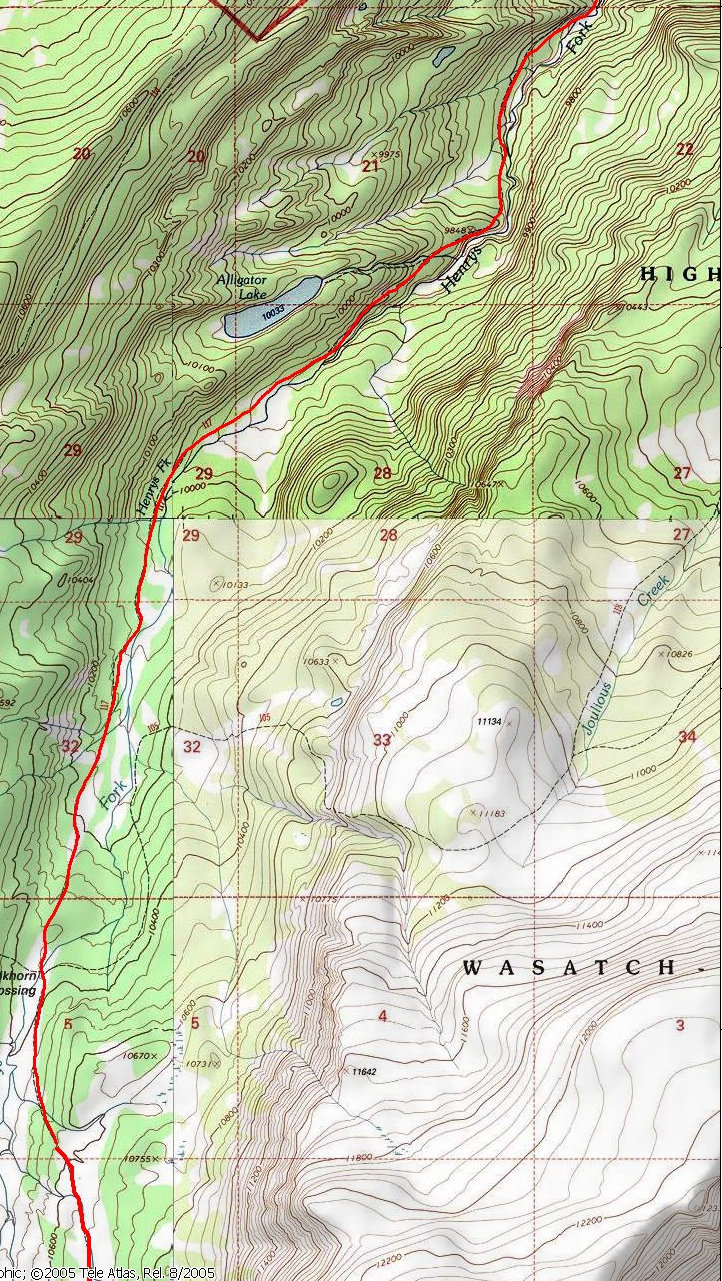
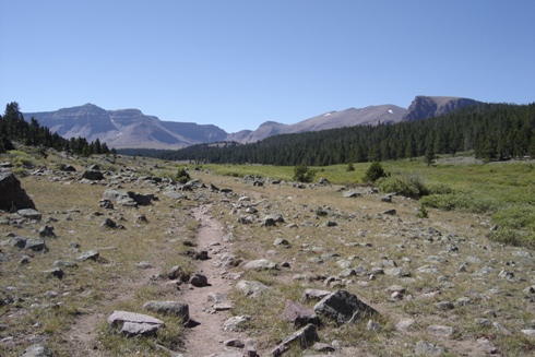
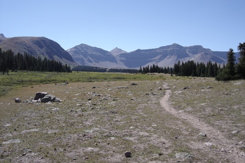
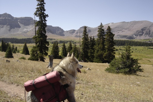
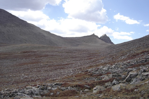
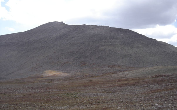
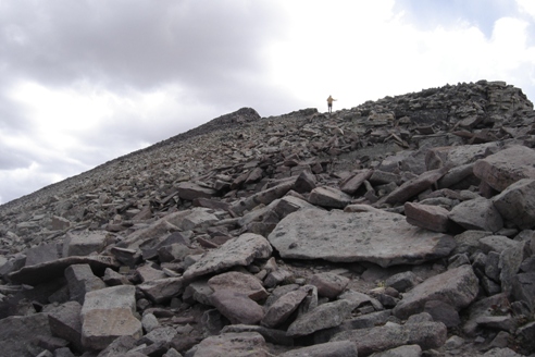
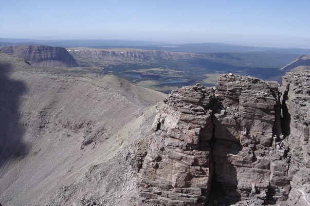
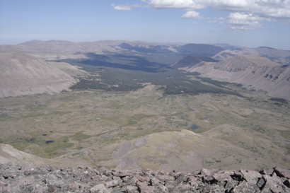
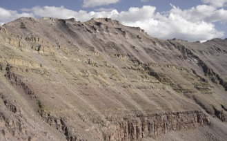
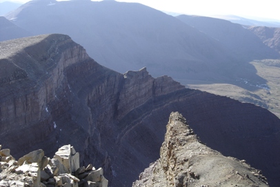
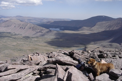
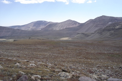
This is where everyone in Utah goes hiking, the trailhead was packed full of cars. With a late morning start, I rushed up the trail. I was looking to summit on day one, then get another few peaks tomorrow. Getting up and into Henrys Fork Basin was amazing. You've got miles of meadows, meandering streams, distant peaks, just perfect. I took the trail up to Gunsight Pass where I tied Dozer to a rock. He would need his strength later today. The next segment was a traverse off trail up and around Gunsight Peak. This shortcut saves several trail miles and a lot of elevation loss/gain. At this point a dark cloud was forming over the mountain. One lady on her way down even had the nerve to tell me I should try again tomorrow. Twenty minutes later the cloud dissipated. The final climb was up rocks and boulders to a nice view over the Uintas. Being only 6 p.m., I still had some daylight to bag Henrys Fork Peak the 8th highest in Utah. This only involved dropping down north off the summit to Anderson Pass, taking the hiker trail west and ascending some class 3 up to the summit. The cliffs off the north side gave this summit a bit more alpine feel than Kings. Looking straight down into Henrys Fork Basin is also quite impressive from there. Hiking back to Gunsight Pass I realize I'm coming down with quite a headache. I decide to forgo the peaks the next day wanting to get to a lower altitude. My water supply was low and I knew I need lots of water to get rid of the headache. Once it got dark, I pulled off the trail, rolled out my pad and bag falling fast asleep. I was awakened a few hours later when a dad and 2 sons hiked by without any lights. I had hiked a bit with them on the way down. They didn't have any lights but they were getting very close to their camp so I didn't make them aware of my presence only a few feet away. At first light we got going. Dozer quickly spotted a Moose in the distance. It took all I had shouting at my dog to keep him from running after that moose.