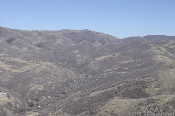
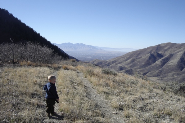
I moved to Utah to experience hikes like this one on a November 19th in 70 degree weather! Turns out, it was the latest 70 degree day ever recorded. Dale Benchmark makes a great hike because it only gets rough for kids at the very end. Although it's not the highest ridge in the area, the hike has views the entire trip.
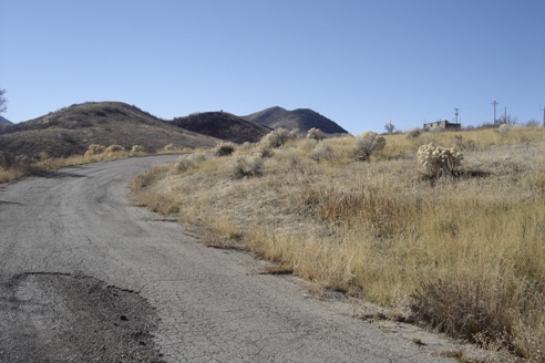
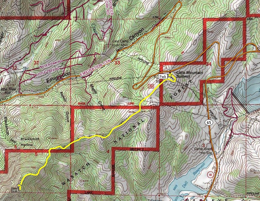
From the parking area at Little Mountain Pass, walk the paved road up to some communication equipment. Continue west on old roads staying on or near the ridge top. There is one hill that is a bit steep but most of the old road is easy enjoyable walking. Near the base of the final climb, the road ends and a steep climbers trail works its way up to the summit. From the top, you've come a ways but you can continue on to Perkins Peak, another mile or so.
Distance: 2.5 miles
Elevation Gain: feet
Summit Elevation: 7,376 feet
Kid difficulty rating: Moderate
Access: Paved
Dale Benchmark
Utah Hiking
Access:
Route:
From I-80 in Parleys Canyon, take the East Canyon Exit 134 (Highway 65) north a few miles looking for a left turn lane accessing Emigration Canyon and route up to Little Mountain Pass. From Salt Lake City, drive up Emigration Canyon until you reach Little Mountain Pass.
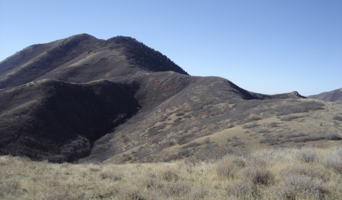
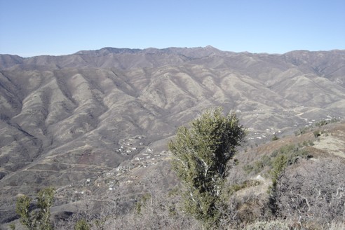
Dale from the trailhead
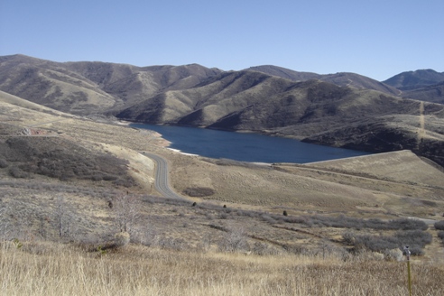
Mountain Dell Reservoir
Getting closer to the final climb
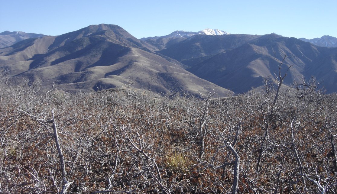
Mt. Aire on left, Gobblers Knob in distance with snow
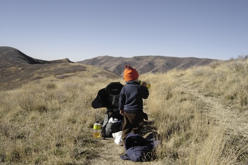
On the trail
Grandview Peak to the north
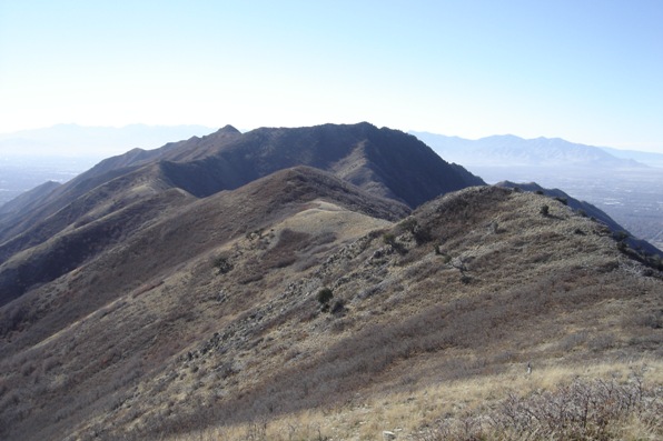
A faint trail continues along the ridge to Perkins Peak
On the trail with Salt Lake City in distance
Big Mountain and Big Mountain Pass
