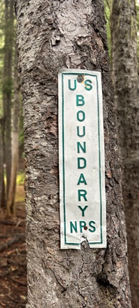
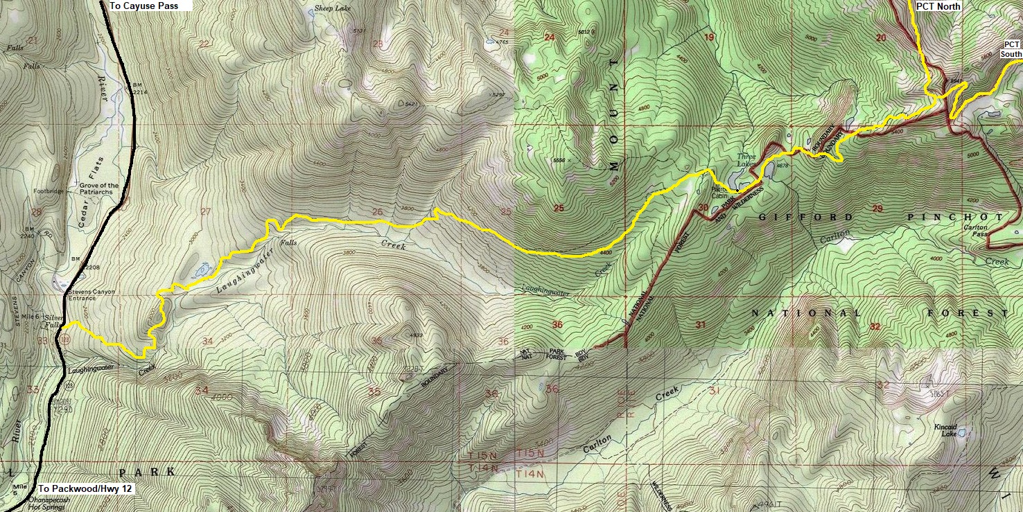
Every National Park has pocket areas where few visitors explore. Laughingwater Creek is that place for Mount Rainier National Park. Even with the trail in most guidebooks, the destination and effort to reach it are not enough for most visitors, especially when more exciting places are elsewhere. But Three Lakes is a special place, where miles and miles of enjoyable old forest walking can be found and a secluded destination that has a historic rustic feel to it. The Patrol Cabin (renovated in 2005) is set between the first two lakes while the third lake is just a bit further up the trail and just outside the National Park. The boundary of the park was carved around the two main lakes specifically to protect them. Reservations are required to camp at the designated camps at the first two lakes. Technically you would not need reservations if you can find a spot at the third lake. Even more small lakes are in the area. Go on the off season and you are sure to have this place by yourself.
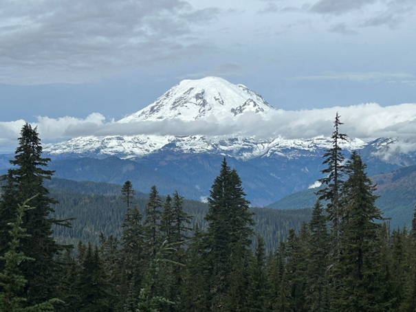
If you need more adventure, the trail continues 1.2 miles to the Pacific Crest Trail where you will find views of Mount Rainier and beyond. Hike north for more views.
WillhiteWeb.com
Laughingwater Creek and Three Lakes
Route
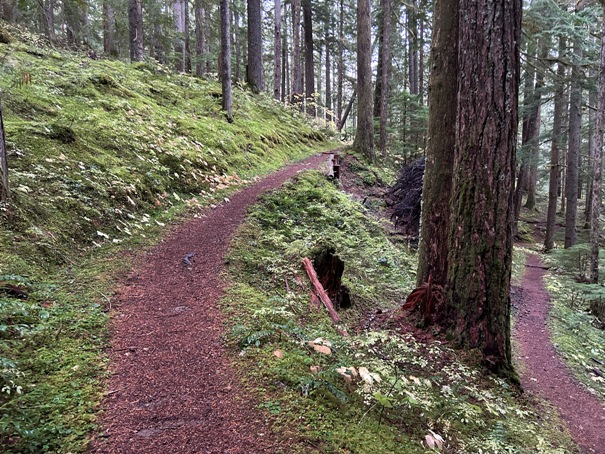
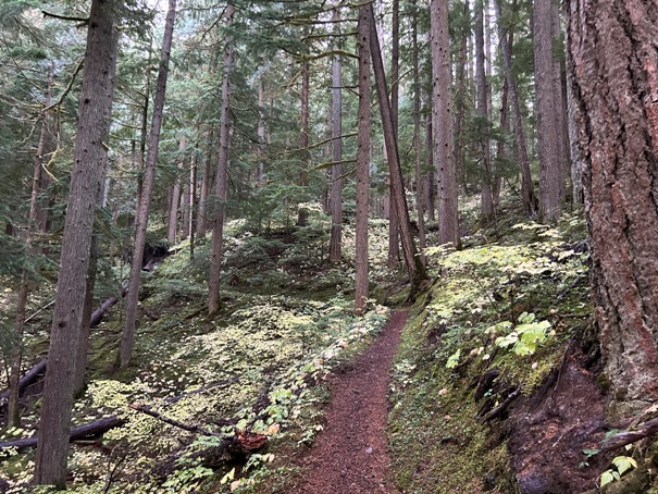
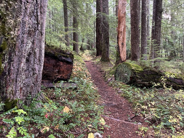
The trail starts out climbing up in a moss covered forest, a classic Mount Rainier trail.
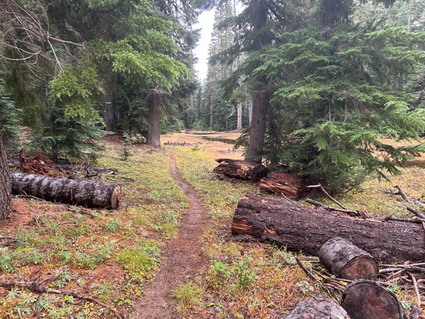
This first mile is smooth tread and gentle grade to reach a small knoll and then drops a few switchbacks to a small pond. For casual hikers, this would be a good turnaround point. The trail continues for a few miles without gaining too much elevation, almost giving an Olympic National Park valley hike feeling to it. Finally, the trail gains a lot of elevation in the last few miles up to the lakes. Make sure to visit all three.
Lakes Elevation: 4,700 feet
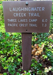
Hiking Distance: 6 miles to the lakes. 7.3 miles to the PCT
Elevation Gain: 2,700 feet to the lakes, 3,700 feet to the PCT
Access: Paved Road
Access
The trailhead is located on Hwy 123 between the Ohanapecosh Campground and the Stevens Canyon Entrance. It is 1.6 miles north of the turn off for Ohanapecosh Campground and 0.2 miles south of the Stevens Canyon entrance. There is a sign for horse crossing but that is about it. Parking is on the west side of the road while the trail is on the East side. The parking also has a trail down to Silver Falls, a short cut route instead of hiking from the campground.
Notes
There are other abandoned trails in the area like the trail north to Sheep Lake and the old Boundary Trail going south. BUT, these trails are no longer signed or visible from the Three Lakes Trail and have not been maintained in decades.
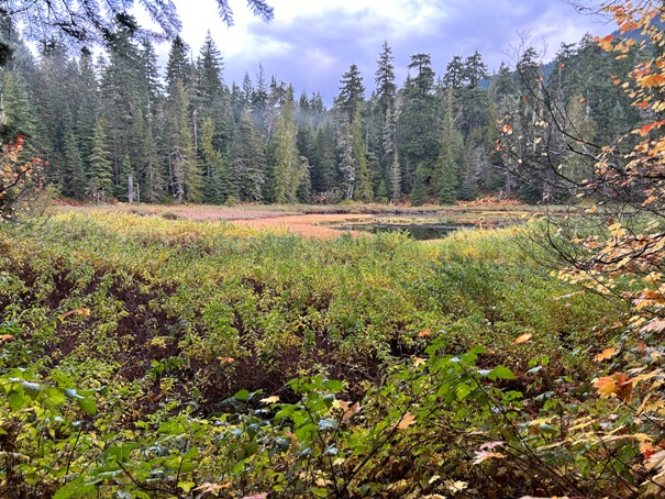
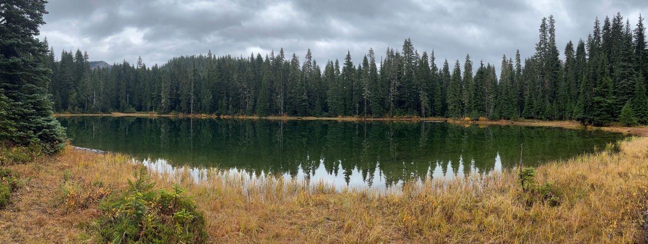
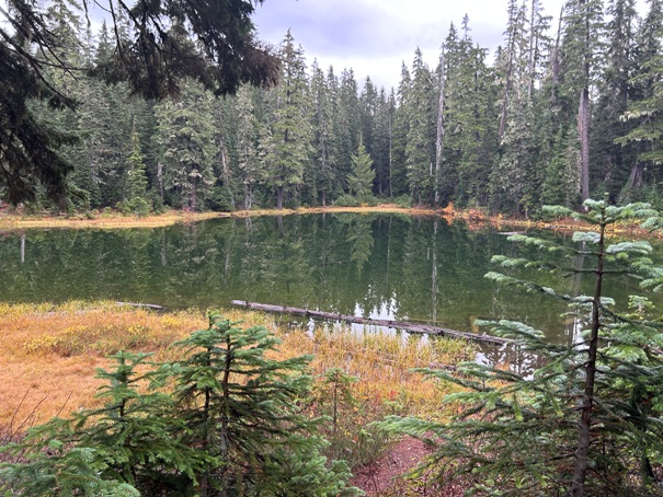
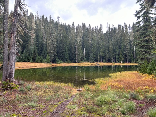
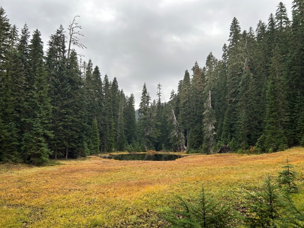
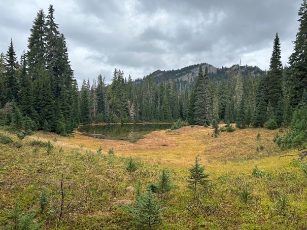
First lake like area about a mile in on the trail
Lake one of the Three Lakes
Lake two of the Three Lakes
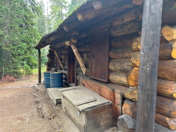
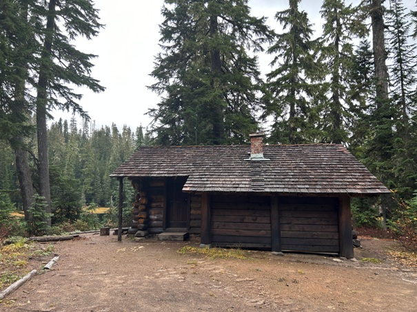
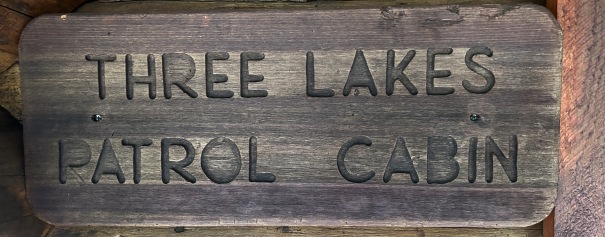
Three Lakes Patrol Cabin between lakes one and two
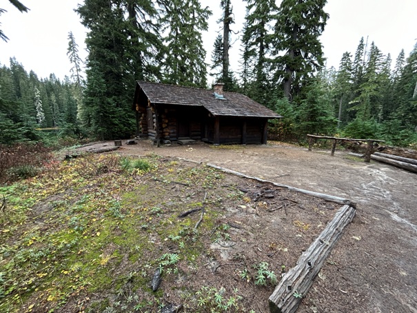
Three Lakes Patrol Cabin
Lake three of the Three Lakes. This is the one outside the National Park boundary.
Hiking past the Three Lakes to the PCT, you pass Lake Four.
Hiking past the Three Lakes to the PCT, you pass Lake Five. Lakes Divide Peak above.
At the PCT trail junction is a view of Mt. Rainier.
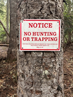
Look...the government does care about borders
Back of the patrol cabin


