WillhiteWeb.com
View from the Laughingwater Creek Trail, PCT Junction
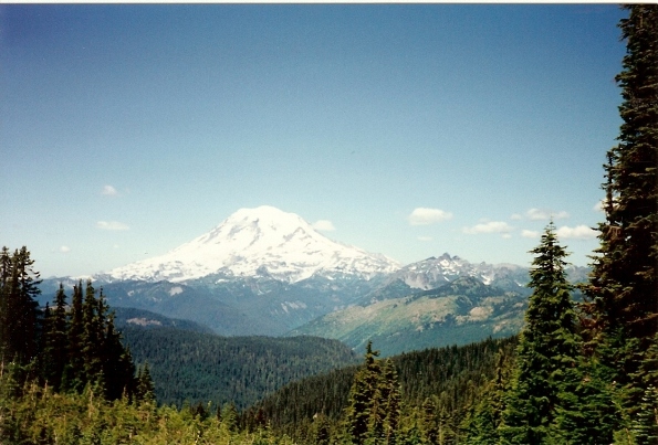
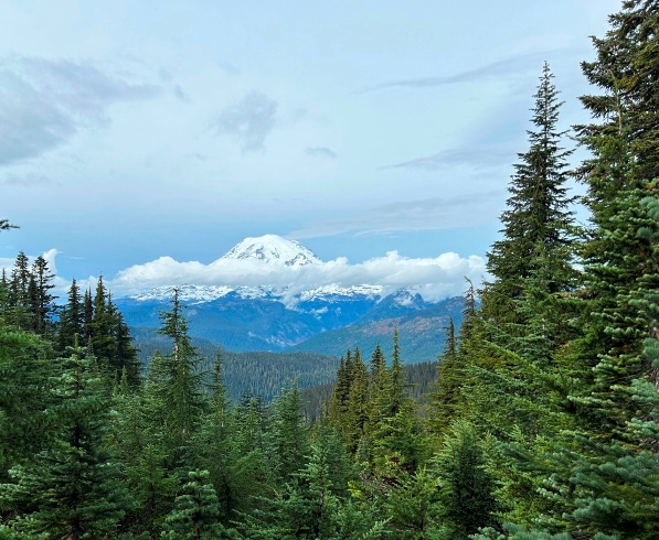
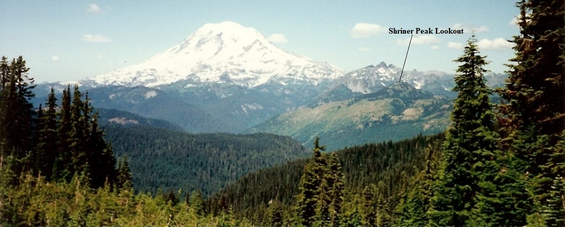
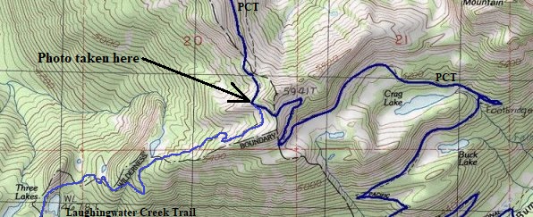
I took these two pictures 32 years apart. The first was in 1991 and the second in 2023. The location is a junction of the Pacific Crest Trail and the Laughingwater Creek Trail. This location is a popular photo stop because it is the first in your face view of Mt. Rainier when hiking the PCT northbound. After climbing out of the Bumping River Valley, you reach the ridge and boom, the mountain is right there, just after entering the park boundary.
1) The trees in front of the shot had grown significantly. The old growth trees further away had not changed much but for whatever reason, this area once had some large meadows that were now filling up with trees.
2) In the distance is the Shriner Peak burn area. If you hiked Shriner back in the 80s and 90s, the upper mountain was all open from a burn. As you can see, much of it has greened up over the last 32 years.
Notable Differences:


October 14, 2023
August 14, 1991

Photo location


