McClure Rock
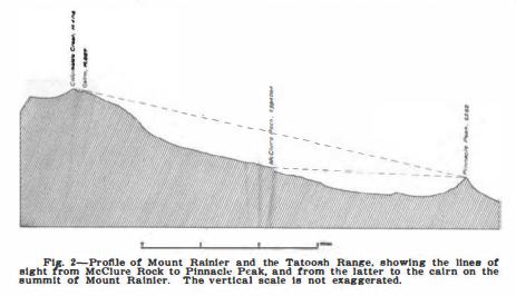
Although you won't find much there, McClure Rock is a historic spot in Mount Rainier history. It was a key location in the first measuring of the mountains height. In the early days, to measure the mountains height was by means of carefully checked vertical angles from neighboring peaks. They first had to determine the altitude of Pinnacle Peak in the Tatoosh Range as a stepping stone to the top of Rainier. In order to get that elevation, they ran levels up to McClure Rock, which was easily reached by trail. From there they took vertical angles to Pinnacle Peak, Eagle Peak and Stevens Peak (all in the Tatoosh Range below). Then from all three of these peaks, angles were to be read to the summit of Rainier and McClure Rock. Using triangulation, the distances between them could be computed to the nearest foot. Eagle Peak was climbed three days in a row and Pinnacle Peak four days to complete all the work. Because the highest point on Mt. Rainier is Columbia Crest, it is not visible from the Tatoosh Range due to the width of the summit crater. It was necessary to select an auxiliary point on the south crater rim that could be seen from the Tatoosh Range and from Columbia Crest. On August 18, 1910, two surveyors and a guide erected a rock cairn 8 feet high to serve as a target. Due to weather, they had to retreat and finish the job later. On September 3rd, surveyors came back and determined the position and height of Columbia's Crest from the cairn but wind and weather nearly blew them and the survey equipment away. Angles were taken but the exact position of the snow dome still remained undetermined. Attempts were going to be made in October but by that time, heavy snow had buried the cairn. It wasn't until 1913 that the position and altitude of Columbia's Crest were definitely ascertained, by another survey team that nearly lost their lives surviving a night on the summit in the steam caves.
Panoramic Photos August 8, 1934
During the photo survey of lookouts during this time period, many sites were often photographed that were being considered for fire lookouts. On the day Anvil Rock lookout was photographed at 9, 500 feet, the photographer also shot two locations further down the ridge in the 7,000 foot range. Both Sugarloaf Rock and McClure Rock were photographed. Many reports suggest that Anvil Rock was just too high as a fire lookout and often above the clouds. Many suggested putting a lookout much further down. The photos suggest that these two sites were being considered.
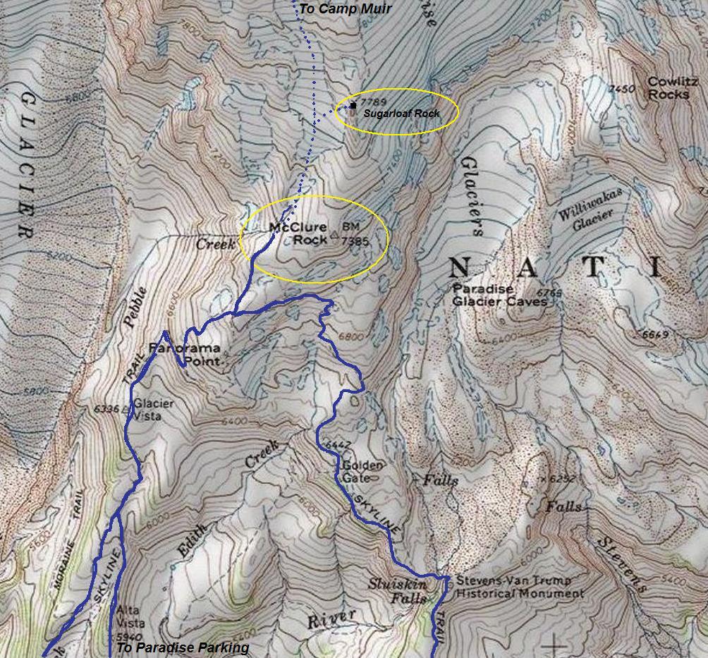
Getting to McClure Rock is simple. Thousands pass right by it every year. It is located on the next bump above Panorama Point, just off the trail as you approach the Muir Snowfield and Pebble Creek.
Access
Elevation: 7,385 feet
Elevation Gain: 2,000 feet
Distance: 2.5 miles
Access: Paved
Washington Lookout Sites
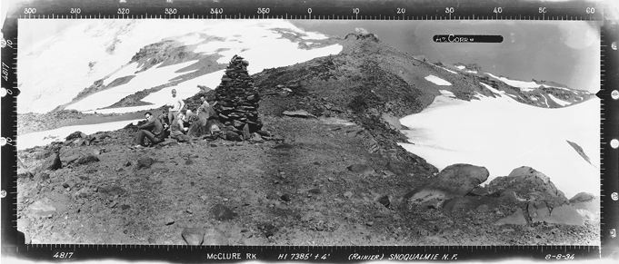
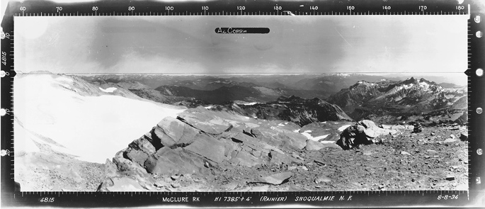
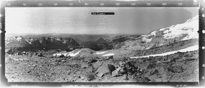
Southwest 8-8-1934
Southeast 8-8-1934
North 8-8-1934
Note the rock cairn used for survey purposes I put in the introduction paragraph
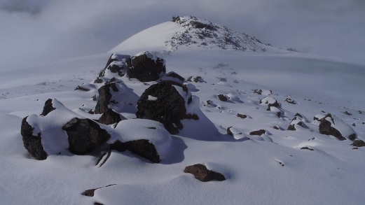
McClure Rock
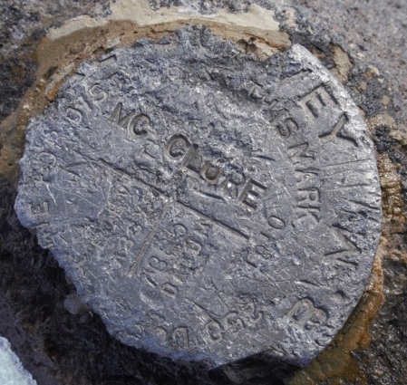
Benchmark
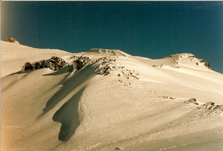
Hiking toward McClure Rock from Panorama Point
(More images to come after my next visit, for now, here are a few from the web)
North
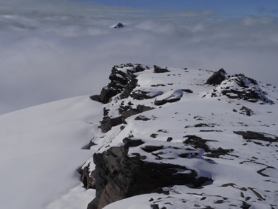
Slanted Rocks
