Kiona Peak Lookout Site
Elevation: Around 4,849 feet
Distance: 12+road miles from west, 2.1 if at the Watch Mtn. L.O.
Elevation Gain: 3,500+ feet or so
Access: Paved/gravel near Hwy 12
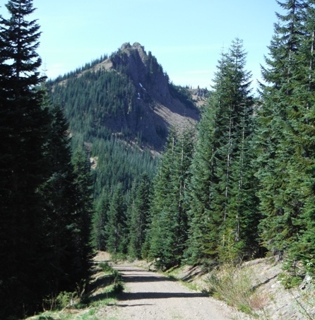
Kiona Peak is one of the great vantage points in the Cowlitz Valley, with a prominence of over 1,500 feet. But it is the history that makes Kiona Peak so great. The name comes from a long time native family of the area.
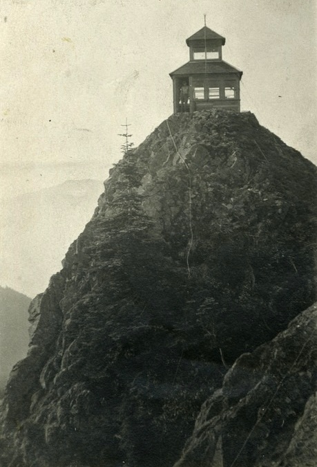
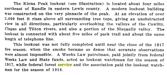
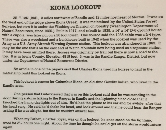
In 1917, during an April meeting of the state board of forest commissioners, it was decided to co-operate with the federal government a lookout and watchman on Kiona Mountain. The plan was based on reports of success with lookouts in Idaho and Oregon. State Fire Warden Fred E. Pape begun listing the timber in the state cared for under the fire protection laws, in accordance with the statute passed at the last legislature. Kiona was under construction that summer finishing just before the end of fire season. It was a D-6 cupola and was the first lookout station in the Rainier National Forest. B.P. Moore and his son, Henry, of Randle did the work. The peak was so sharp that it was necessary to blast off a piece of the top to find a large enough space for the 10 x 12 station. Twenty ponies carried supplies for the new station from Randle. A five mile trail and telephone line connected the lookout to Randle. It was the first lookout built by the Division of Forestry (predecessor to the DNR). A Weeks Law patrolman, paid jointly from federal Weeks Law and State funds, acted as lookout watchman for the season of 1917.
In 1918, the lookout person stationed on Kiona was V.W. Bigger, a newspaper man from Texas, who took his typewriter with him to the top of the peak spending time writing while watching for signs of smoke in the distance. The Forest Service and Division of Forestry paid for the watchman.
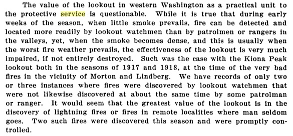
In 1919 the Washington Forest Fire Association said: We have made haste slowly in establishing lookout stations, as the experience with a good many which have been established is, that the view from them is too often obscured by hazy, smoky, or foggy weather. This has been the case with the lookout on Kiona Peak, in eastern Lewis County. It has been of almost no value to us since it was established three years ago. With the lookouts in the Coast Range Mountains, conditions are different, as the smoke is driven away from them by westerly breezes, leaving the atmosphere more clear.
In 1922, the lookout was abandoned for the season since the previous four year trial made them feel it was impractical to operate.
In 1923, during September the lookout reported a fire at a distance of 37 miles.
In 1925, a Mr. Mayhill, of the Fox Film Company, went to Kiona Peak to obtain moving pictures of the work of a lookout in the fire organization.
In 1926, the lookout was P.K. Herrington. In July, he spotted a fire southeast of the Glenoma schoolhouse that burned over hundreds of acres in a mostly old burn, but some valuable timber.
In 1927, the lookout P.K. Herrington went to Kiona peak around June 10 to get the telephone in working condition preparatory to taking over his work there for the summer at the lookout station. Mr. Herrington reported four feet of snow at the peak and fourteen in the canyon below the station. On June 30, he officially started work with the help of Ray Hampton getting his supplies to the lookout.
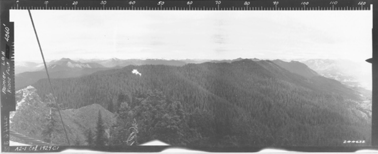
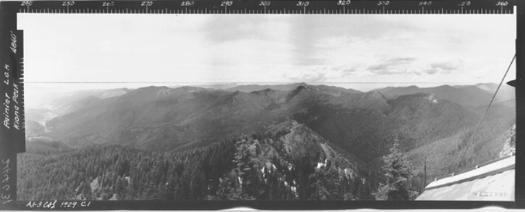
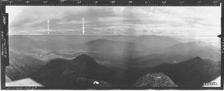
In 1929, panoramic photos taken from the observation level.
In 1930, the lookout Elcana DeRossett, who had a bad fall over a cliff when his footing gave way. He struck a snag and suffered a serious bruise on the thigh bone. The wound was threatening serious trouble by the time he got to Randle for medical aid. However, he did return to his work.
In 1935, the cupola was replaced by an L-4 cab.
In 1942, the lookout was used by the AWS. It was activated on March 13, 1942 and deactivated on April 1, 1944. A sleeping quarters and woodshed were added to the improvements. (see link for more history)
In 1963, the site was abandoned when a new tower was constructed on West Watch Mountain.
Today, most of the cables are still hanging on both sides of the cliff. Quite a few old boards and pieces can be found below. A nice scramble trail sneaks up the only break in the rocky summit area providing access without much exposure. Moss covers rock steps carved into the rock.
WillhiteWeb.com
Access
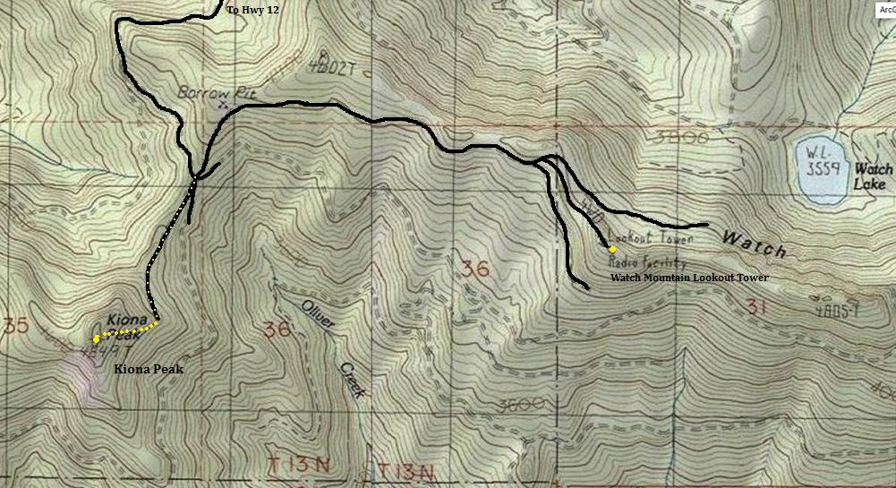
Access is rather long and difficult. The most direct routes are full of gates and no-trespassing signs. The most common route is to use logging roads that wrap around the west side of Kiona Peak, way to the north and then reach the 5 way junction saddle between Kiona and Watch. This route is over 10 miles one-way. I did not go this way but I will provide a map as I would recommend this way. From the 5-way intersection, it is under a mile to Kiona or just 1.5 miles to the Watch Mountain Lookout (must do both after such a long approach).
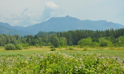
Kiona Peak from Riffe Lake
Kiona Peak 1917
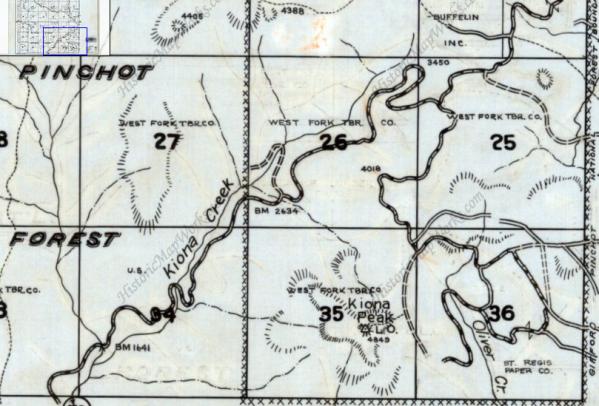
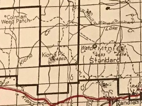
1975 Metsker Map showing lookout and trail to lower road
Kiona Peak from the East
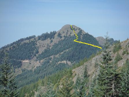
Dropping down to the 5-way junction, looking at Kiona Peak
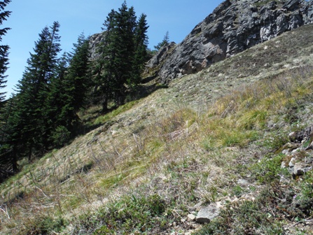
Hard to see but the old Kiona Peak Trail is traversing up the slope here.
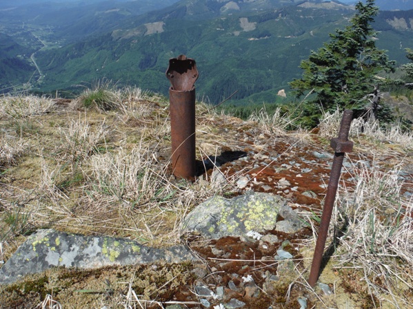
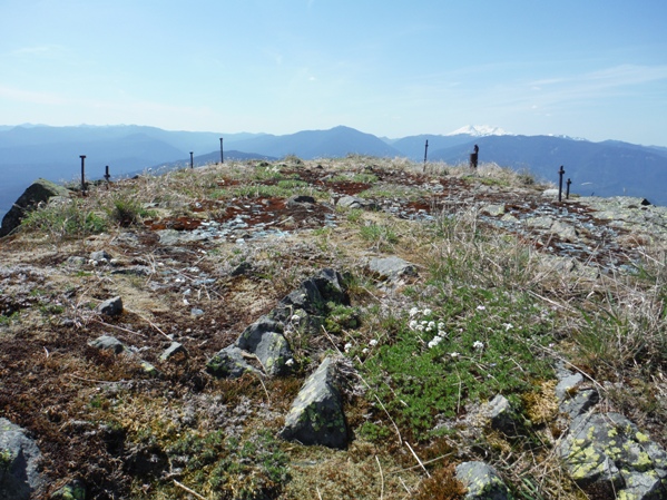
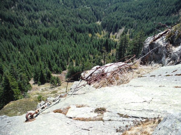
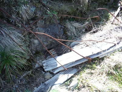
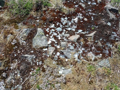
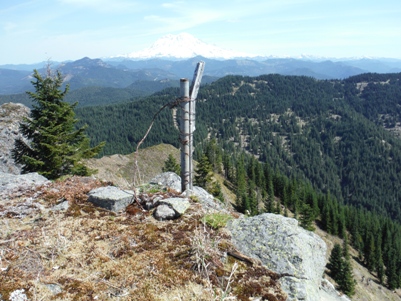
Glass, nails, screws, wire....
Thrown off the side
Pipe
This shot is nearly vertical down
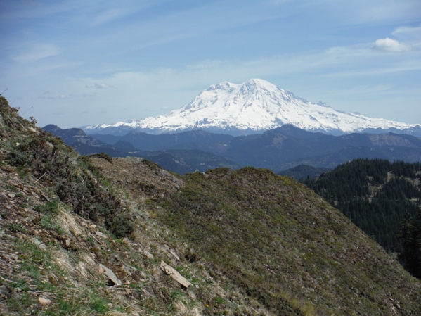
Good views of Rainier
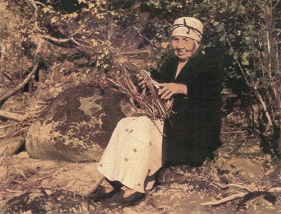
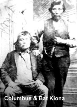
Mary Kiona, expert basketweaver, lived to around 115 years of age.
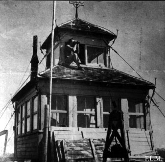
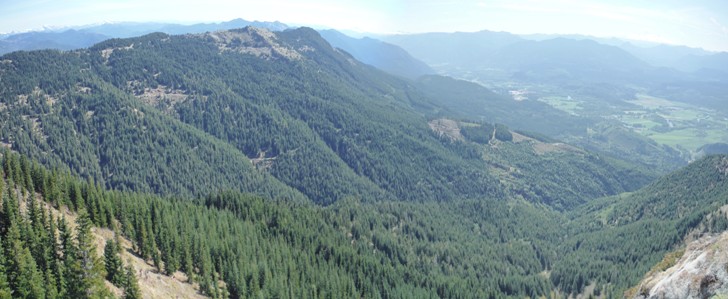
Looking Northeast in 1929
Looking Northeast in 2015
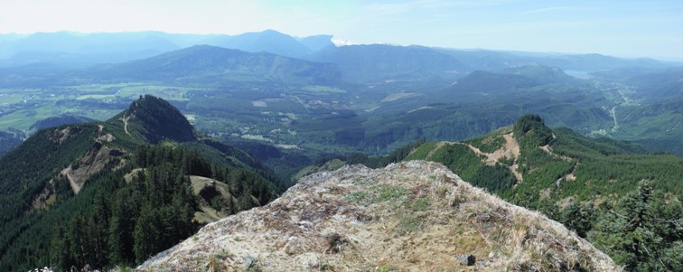
Looking Northwest in 1929
Looking Northwest in 2015
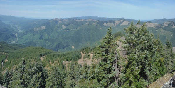
Looking South in 1929
Looking South in 2015
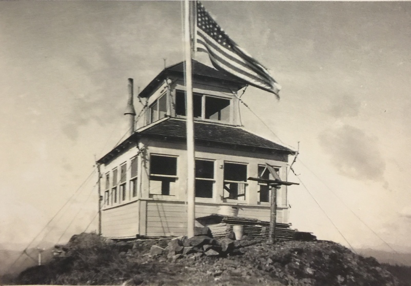

From the book Rag Camps To Lookouts by Joanne Bridges
1937 Columbia National Forest
1940 Columbia National Forest
Kiona Peak 1937
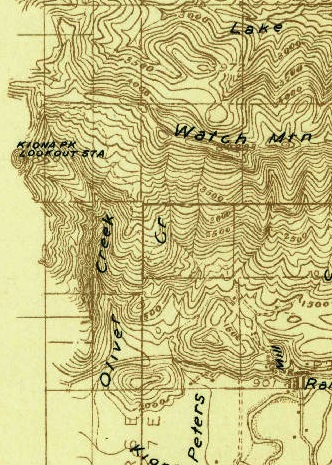
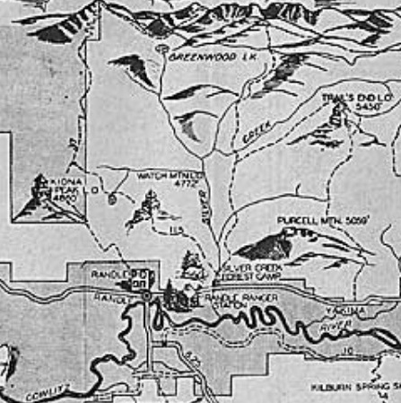
Kiona Peak Lookout Station on a 1924 map


