Banger Lookout Site
Fire Lookouts of Washington
According to the Lookout Inventory and photo by Irene Potter, this lookout was said to be in Section 20 of Township 26 North, Range 1 East. The inventory says the Bangor fire tower was built in 1953, a 90 foot wooden tower and house at the base, removed in 1971.
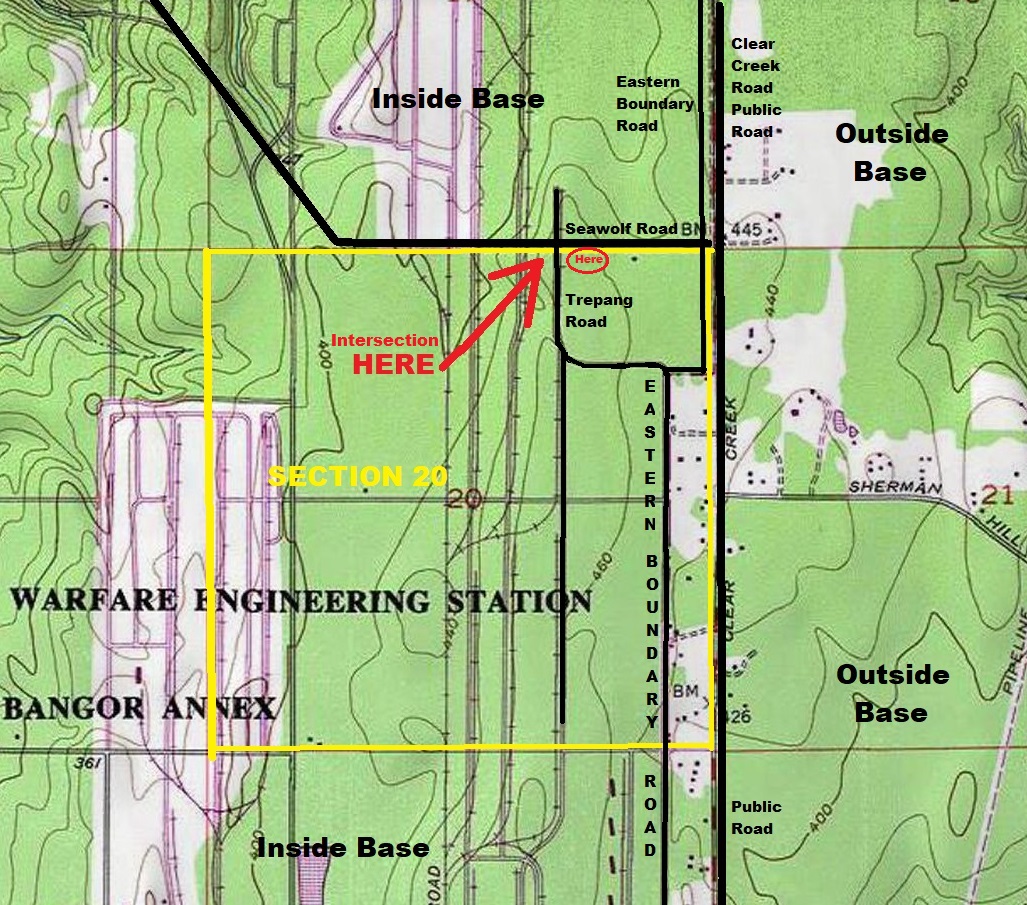
The location is based on notes obtained by Leslie Romer from someone who had visited the tower after it was removed. From the Eastern Boundary Road inside the fenced Bangor Trident Base, go West on Seawolf Road to junction with Trepang Road. Almost at edge of ammunition bunker are four 40 inch concrete bases.
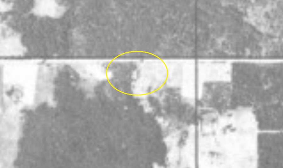
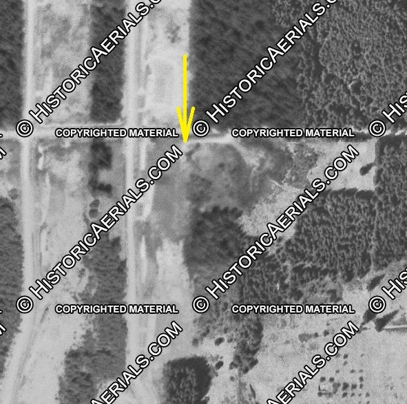
Using these directions, I looked at 1944 and 1951 aerial maps. Sure enough, there appears to be a tower in this location. Yet, both these maps are prior to said construction in 1953. More to come in the future when found.
Lookout Elevation: TBD
Distance: Drive-to
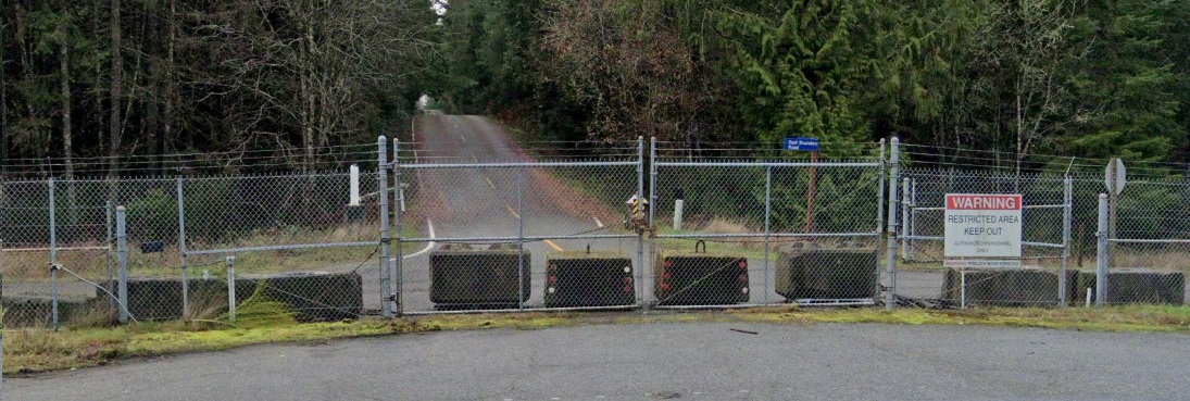
Access: Very restricted, naval base.
You can also visit my Bangor A.W.S. page for more information. I do not know if there is any correlation between these two sites.
Photo in the Washington Fire Lookout Museum. Irene Potter visited the site in 1999.


Looking down Seawolf Road toward the site from outside the base fence at the intersection of Clear Creek Road and Eastern Boundary Road (behind fence).
1944 aerial photo of what I think is the tower
1951 aerial photo of tower and shadow cast (I think)
Topo map showing where I think the location is at. More to come after a visit.


