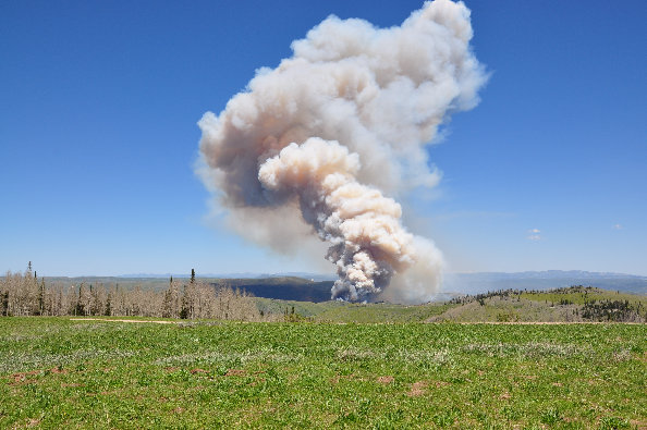
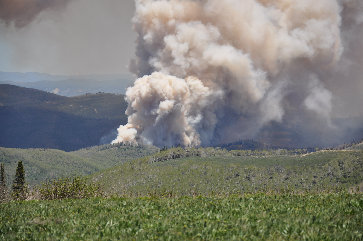
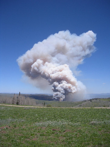
This is an easy drive up for anyone wanting to add to the scenic drive off highway 264 from Scofield Lake to Fairview. The viewpoint is reached by a wide well graded gravel road. The view isn't as good as nearby skyline drive. We arrived on top to find several forest service vehicles watching a "controlled burn" to the north in Fish Creek. The burn didn't look like a controlled burn...maybe a "designed wildfire" would be a better description. Where I come from, controlled burns aren't designed to burn the entire forest...just the fuels below the forest canopy.
Winterquarters Ridge
Distance: Drive-up
Summit Elevation: 9,622 feet
Access: Gravel/Dirt
Access:
www.WillhiteWeb.com: Your online resource for hiking, climbing and travel
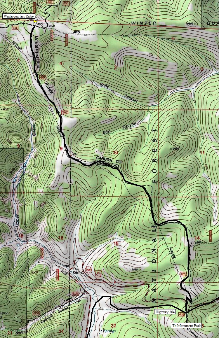
Take Highway 31 east from Fairview to Highway 264. Follow 264 down to Electric Lake. North of the lake the road climbs to a pass on the Carbon/Emery Line. From here, a right goes to the County Highpoint of Monument Peak. Instead, go left (north) following the gravel road several miles to the highpoint. You could also reach the pass on the county line coming from Scofield Lake on Highway 96.
The only real view from the highpoint is north
Burning on Bean Ridge
Looking north from the highploint just as they started the "controlled burn"
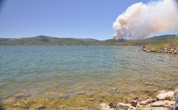
Fire from Scofield Lake
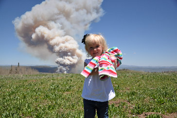
Kids got free stickers, wrist bands and pencils from the fire fighters that were observing the fire at the highpoint


