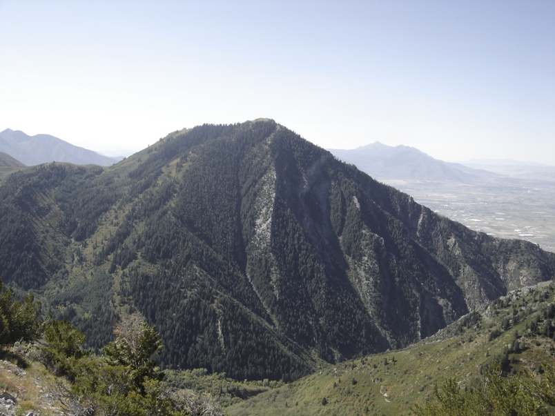
The hike up Lion Head is an easy hike for kids big and small with rewarding views of the area behind Y Mountain.
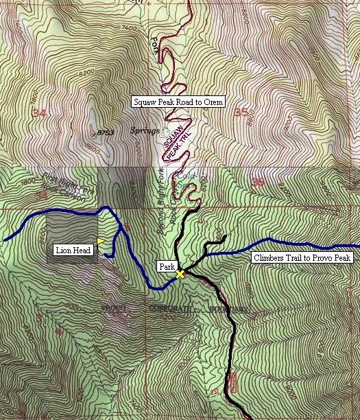
The trail leaves the parking area west, directly toward Lion Head. Quickly it traverses north below the peak but still climbing elevation. Eventually, you reach the north ridge of Lion Head. Leave the trail here and follow the north ridge on faint trails to the summit of Lion Head. A majority of this trip is shaded but the top is open. There is a double summit, I do not know which is higher.
Distance: 1 mile
Elevation Gain: 681 feet
Summit Elevation: 9,001 feet
Kids difficulty rating: Easy
Access: Mostly good gravel
Lion Head
WillhiteWeb.com
Access:
Route:
Drive up Provo Canyon (Highway 189) looking for a sign for Squaw Peak Road (near mile marker 9). Follow this narrow paved road until it splits. A sign points to the right for a city view overlook. Go left, road becomes gravel shortly after. Follow this until Rock Creek Campground where the gravel road now becomes rough. Continue around 2 miles up to a pass and parking.
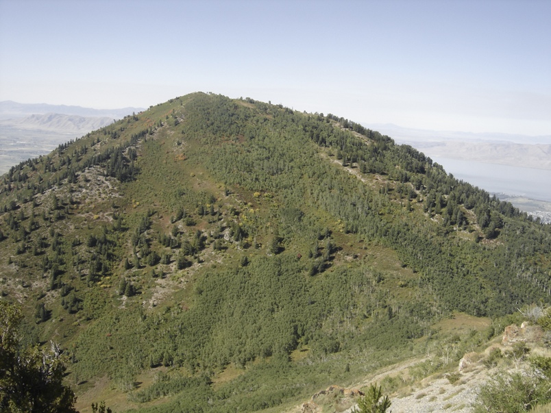
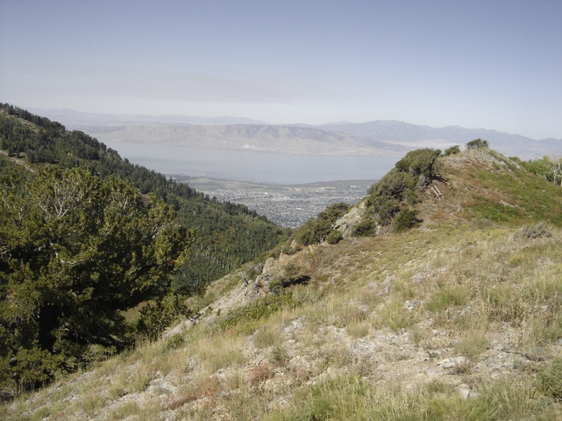
Lion Head top with Provo in the distance
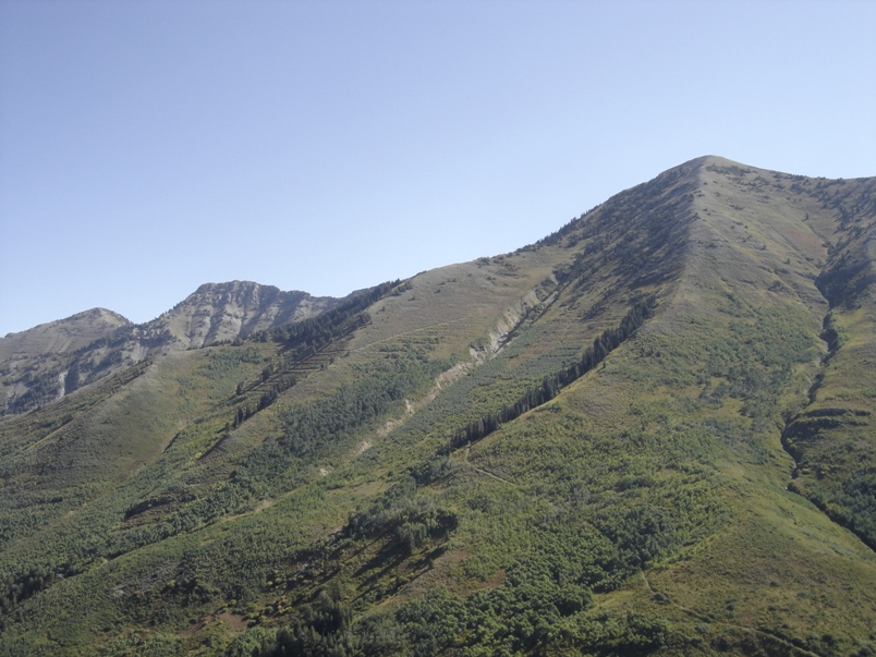
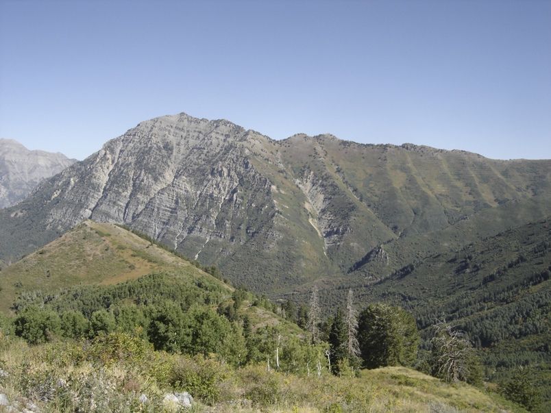
Provo Peak from Lion Head
Buckley Peak from Lion Head
Maple Peak from Lion Head
Cascade Mountain from Lion Head
