Pumphouse Hill
Distance: 1\2 mile
Elevation Gain: 330 feet
Summit Elevation: 8,238 feet
Access rating: 4WD
www.WillhiteWeb.com: Your online resource for hiking, climbing and travel
Access:
Route:
This is a nice little hike up a dumpster diver. Pumphouse Hill won't wow you with much but when higher peaks are snow covered and you just want to see somewhere new....we'll you at least got out I guess.
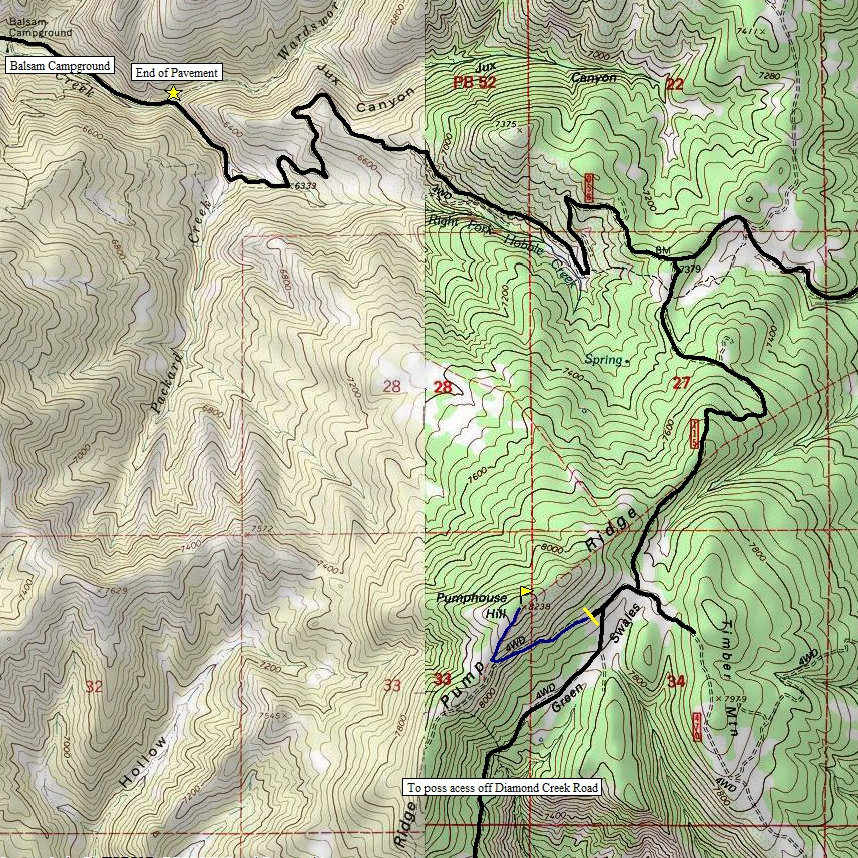
From the "road closed" sign, follow the ATV trail up the abandoned road for a quarter mile. Once on the ridge, switchback up to the summit. There is a trail at first but then it fades. Just west about 30 feet is a fence line and ATV track along its west side. Follow this track up to the top. Views to the south and west are good but trees block the rest.
In Springville, take 400 South east one mile to a four-way stop. Turn right onto Canyon Road and follow it into Hobble Creek Canyon. Just past the golf course (around 5 miles up), the road splits. Go right onto the right fork hobble creek road. From this point to your turn is 10.2 miles. Around the 7 mile point is Balsam Campground, the pavement ends shortly after that. The right turn at 10.2 miles has a forest service gate that should be open and a sign for road 115. You'll be on this road for 1.8 miles. Beyond the gate, up a bit will require high clearance and a bit of skill. Someone has made some massive deep ruts and until the road is graded, it is high clearance only. Just before the hike is a T in the road. Signs point left to road 470, right to 115. Go right and in 200 feet you'll see an overgrown road to the right with a road closed sign and wood barrier.


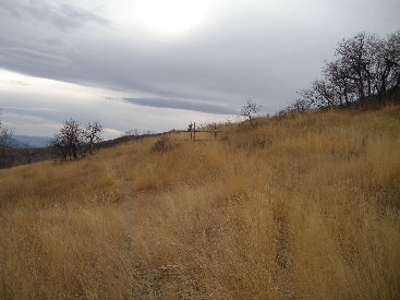
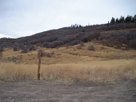
Pumphouse from the T just before the trailhead
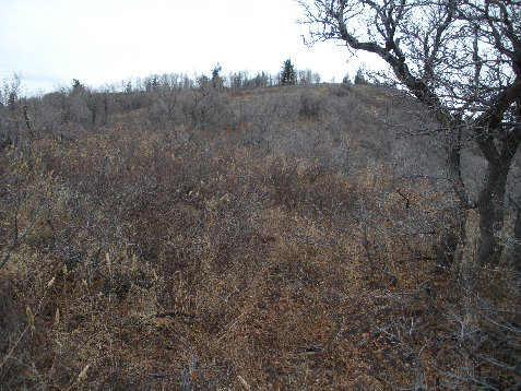
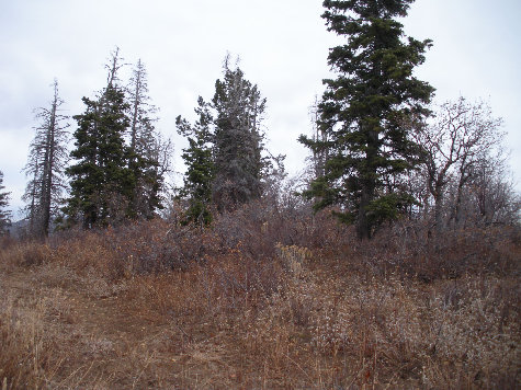
The highest point is in this mess (you can walk the fenceline to it)
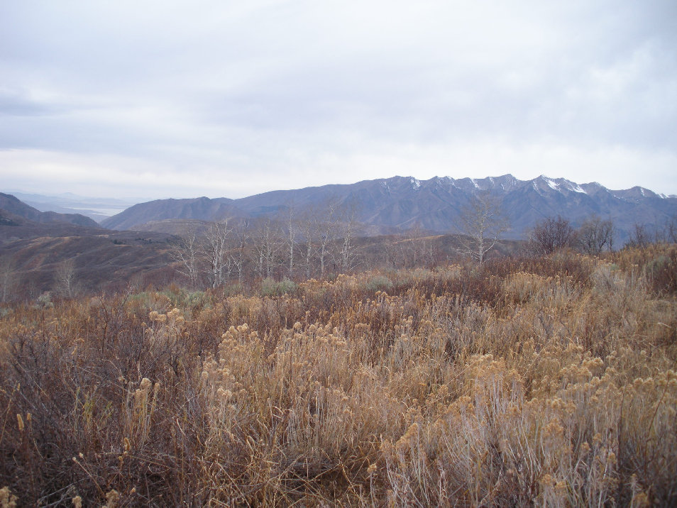
Utah Lake on left, with the ridgeline of Corral/Provo/East Provo/Lightning Peaks
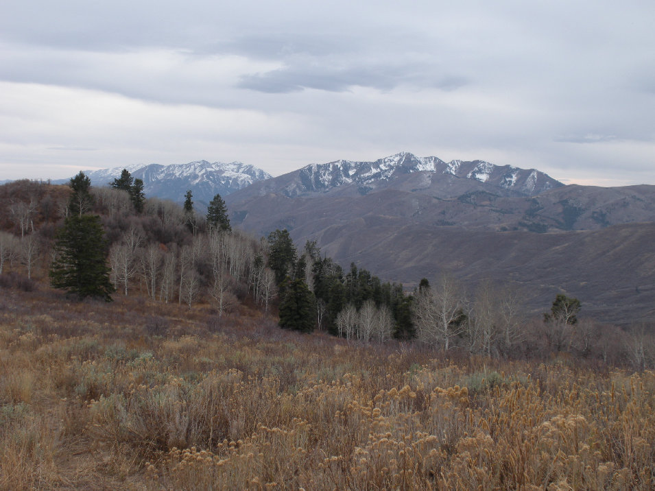
Nebo on left, then Loafer/Santiquin Peaks and Spanish Fork Peak on right
Once on the ridge, looking at summit
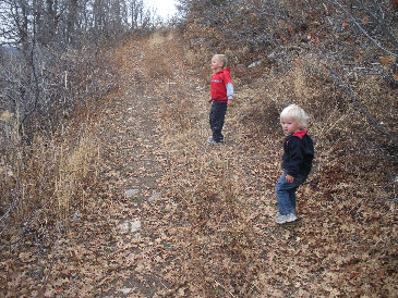
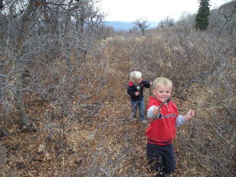
Kids hiking ridgeline trail
Kids hiking the ATV trail
From parking spot, road closed barrier ahead


