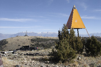
The Lake Mountains are the range on the west side of Provo Lake. Although the access is so close to so many, few venture up to the summit. Two roads will zip you up although some hikers have climbed up from the valley bottom (usually in winter). The summit is also on the Utah Prominence List which brings people up there from around the west. The highest point looks to be behind a fence but you are close enough to call it good. A slightly lower summit has a triangulation marker on the summit.
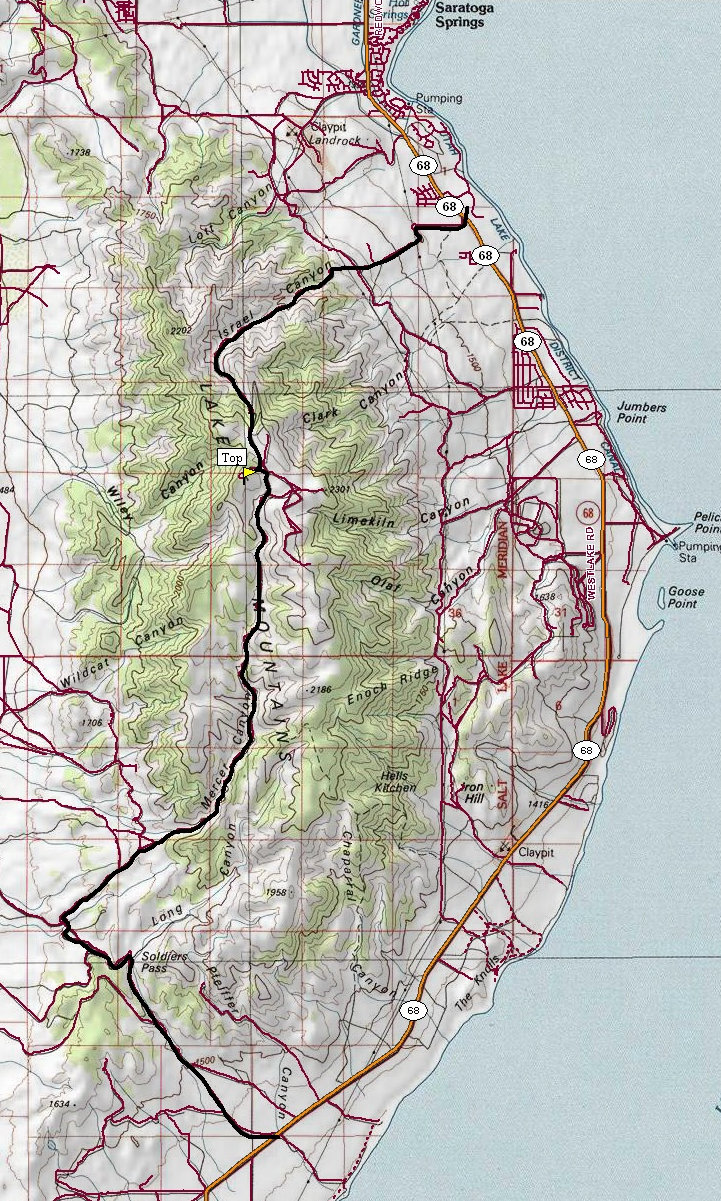
There are 2 ways of accessing this drive-up. For the more challenging 4WD/High clearance route, go up via Israel Canyon. Go south through Saratoga Springs on Highway 68 from the intersection with Highway 73 near Lehi. About 5.3 miles from the junction is a road (possibly signed Israel Canyon) to the right called Stillwater Drive. It goes through a neighborhood before becoming a rough and ugly service road. Hike it if you do not like what it does to your vehicle. I would also think this would be a good winter hike on snowmobile trails.
The easier access that regular cars might be able to drive if conditions are good is located on the southwest region of the range. To get there, continue south on highway 68 along Utah Lakes west shoreline. A mile or so before the highway does its long straight line into Elberta, look for a wide gravel road called Soldiers Pass Road. (See Map). Follow this easy road over the pass and down the back side a short distance. Several roads go right at this point but a bit of exploring on the largest most maintained ones will find you the correct road up Mercer Canyon.
Distance: 0 miles
Elevation Gain: 0 feet
Summit Elevation: 7,690 feet
Access Rating: Level 3 for Mercer Canyon and 4 for Isreal Canyon
Lake Mountains Highpoint
www.WillhiteWeb.com: Your online resource for hiking, climbing and travel
Access:

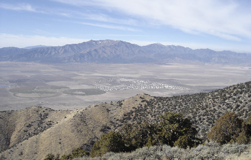
Lake Mountains from the SW with Timp on right
One summit has communication stuff, the other this survey BM
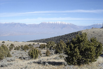
Mount Timpanogos and Utah Lake
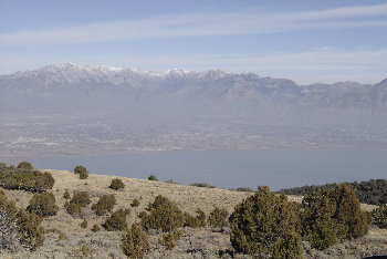
American Fork area with the Lone Peak ridgeline behind
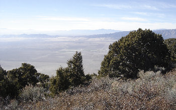
Views west
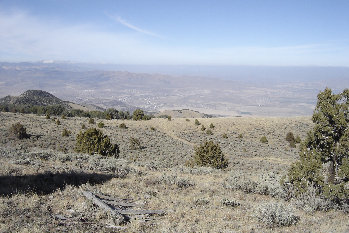
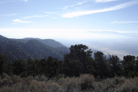
Looking to the Southeast
Looking Northwest to Flat Top and Oquirrh Mountains
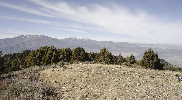
View north

Looking northwest to Flat Top Mountain and the city of Eagle Mountain
