

Notch Peak
Distance: 4.5 miles - Sawtooth Canyon Route
Elevation Gain: 2,800 feet
Summit Elevation: 9,654 feet
Access rating: Rough, high clearance recomended
WillhiteWeb.com
Access:
Route:
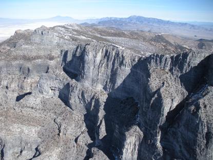
Notch Peak is a summit in the Western Desert House Range with a vertical cliff on one side over 2,000 feet. The entire rise of cliffs and benches are almost 4,450 feet from the valley bottom making this the highest cliffs in North America. Add to that a hike in via a gorge that feels like you are in a National Park in southern Utah. Include ancient bristlecone pines near the summit and a natural arch on the way in and you will have a great experience the Notch Peak Wilderness Study Area. Let us not forget the views west into Nevada and Great Basin National Park, the Bonneville Salt Flats, Mt. Nebo far to the northeast and everything in-between.
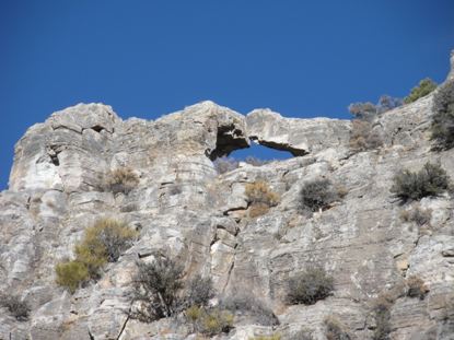
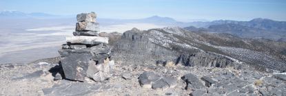
Start hiking up the old road behind the signs for 0.5 miles until you see the road (and canyon) split. Take the left road which soon disappears and you are hiking a dry wash. Most of the time, there is a trail in the wash, just keep going up the canyon if you miss it, you will come across it again. Soon you will think you are in southwest Utah canyon country. Somewhere between mile 2 and 3 an arch is visible 80 feet above you in the rock. The wash goes around 3 sides of it so keep your eye out. At around 3.5 miles the wash hits some steep ledges where a humongous old tree has fallen across the drainage. Either scramble up the ledges or find a climbers trail to the right that works up below a cliff band to get around the wash scramble. Once above the ledges, the wash opens up, no longer canyon like but you are still in a ravine. Soon the wash turns northward, you should easily sense this. Keep an eye out for the wash to split. Cairns and a faint trail should force you left where you climb 3 minutes to small bench where the summit is now in view. (The true summit will be the ridge to the left of the peak that looks like the real summit). Several faint trails exist from here to the summit. Work up to the left side of the false summit on a trail to a saddle between the false summit and the ridge, which is the actual summit. The way up from the saddle is a bit steeper but a trail has formed most of the way. The summit cairn opens up like a box where the register is placed inside.
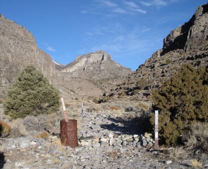
From Delta, take Highway 6 west 40 miles. Turn right at mileage marker 46 on to the unpaved Notch Peak Loop Road Drive 4 miles north, turning left on the signed Miller Canyon Road. Drive another 5 miles to BLM Picnic area with restrooms. This is a 4 way intersection. Turn left going SW toward Sawtooth Canyon. A few miles later you will pas a cabin on the right and another mile later the road ends at the trailhead. Signs will indicate wilderness sturdy area. Just before the trailhead, a old road cuts left, down then steeply uphill, do not go that way.
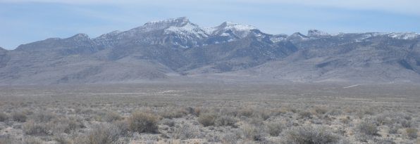
Notch Peak from Highway 50
This is what you should see at the trailhead
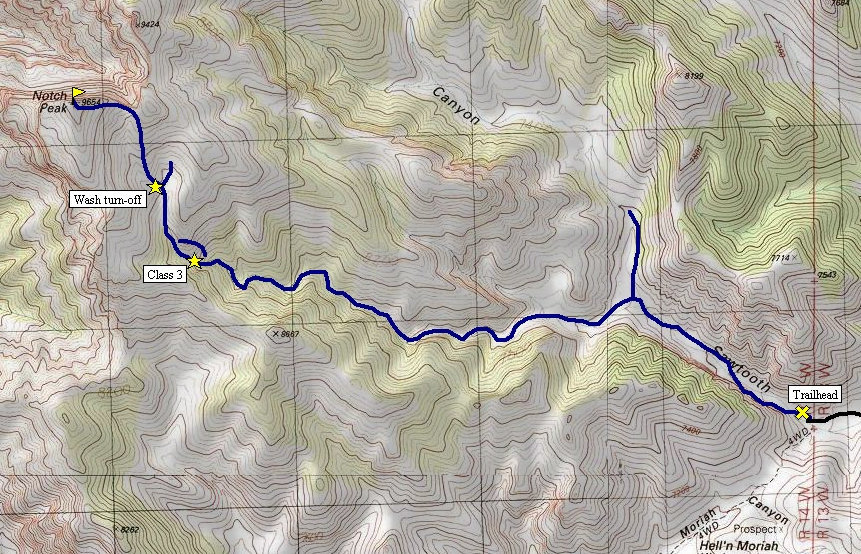
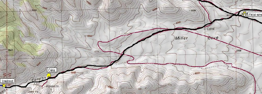
Below: Top map is route from Picnic Area to the trailhead, second map is trailhead to the summit
Top: Panoramic shot looking north from the summit of Notch Peak
George H Hansen Peak
Ibapah Peak
Swasey Peak
Granite Peak
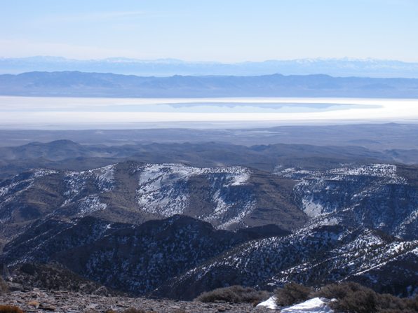
Sevier Lake and reflection of the Cricket Mountains, with the Pahvant Mountains in back left, and Tushar Mountains in back right
Didn't see anyone and nobody been up in 3 months!
The arch on the way in....looks much bigger than it is
View of the summit from the saddle
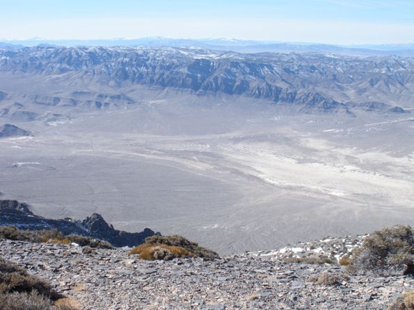
Looking West toward Great Basin National Park
Looking South from Notch Peak, Frisco Peak in distance
Summit Cairn
Views 1/2 mile in the hike
Views near the start of the hike
Interesting area
Hiking the dry wash
View north from the summit of Notch Peak
Views SW from the summit, Hwy 6 cuts across the valley
Notch Peak from the NE in route to climb Swasey Peak the same day!
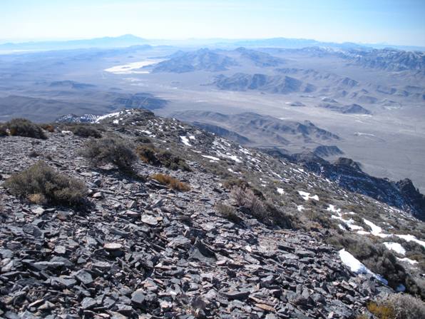
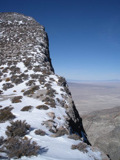
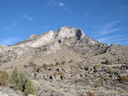
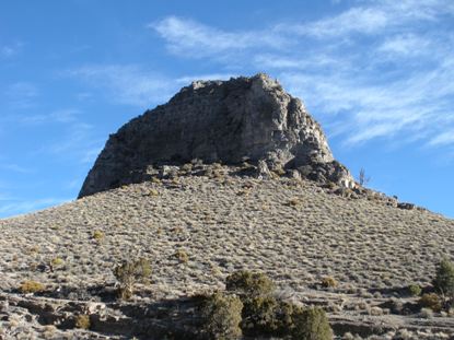
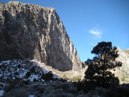
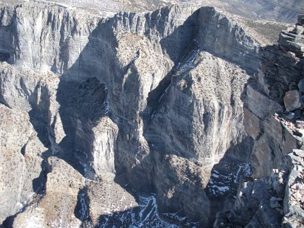
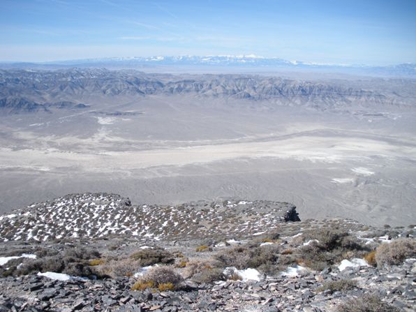
Cliffs on Notch Peak
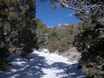
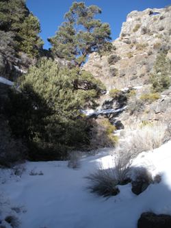
Entering the wash


