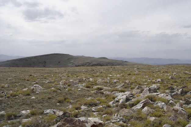
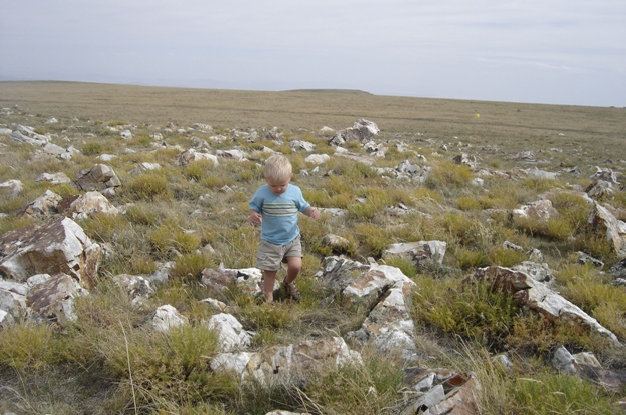
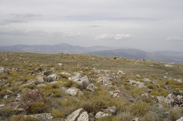
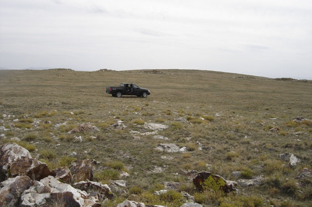
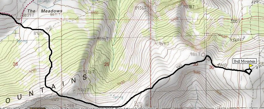
Bull Mountain is the highest point in the Raft River Range and the Box Elder County Highpoint. Because it has good prominence and is a county highpoint, a few non-hunters have ventured into this area. This lonely northwest corner of Utah is best explored by a high clearance 4WD vehicle. Although a hiking trail apparently exists from Clear Creek Campground where 2WD cars can go, it's a long way for a relatively un-exciting place. As you see in the pictures, the summit is very broad with rocks and grass as your terrain for the 50 yards to the summit. There is a cairn and register so that is exciting? Don't be confused by nearby Dunn Benchmark which is a few feet lower but looks higher. The road skirts just below Dunn BM so run up it if you do not believe me.
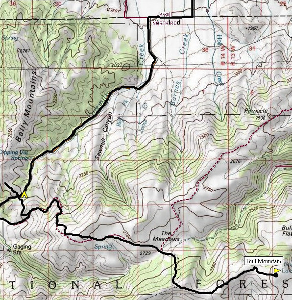
Just west of Snowville Utah at exit 5 on I-84, head west on Highway 30. Around 16 miles from the interstate, continue straight (now Highway 42) into Idaho. Look for 3600 S (Strevell Road) going left. This gravel road goes for miles, you will want to turn left onto road 2000 E, then right onto 3200 S, then left again onto "One Tree Guard Station". Follow this up into the mountains to a 4-way intersection at a saddle. There is a camping spot marked on the map just below the 4-way intersection. At this saddle, take a left and follow the general idea on the map to "the meadows" where you drop a bit cross the flat meadows and maybe some cows, then finally climb steeply up to the summit. Bring a map, you will need it.
Distance: 0.08 mile
Elevation Gain: 5 feet
Summit Elevation: 9,920
Kid Difficulty Rating: Drive Up Peak
Access: Rough dirt roads
Bull Mountain - Box Elder County Highpoint
WillhiteWeb.com
Access:
The 4WD road is just on the other side of the truck
Maverick getting another county highpoint
Looking over to Dunn Benchmark
Looking north into Idaho with Cache in the distance
