
Craner Peak
Distance: 1.5 miles one-way
Elevation Gain: 1,850 feet
Summit Elevation: 6,625 feet
Access: Good Gravel
WillhiteWeb.com
Access:
Route:
At 1,966 feet of prominence and number 82 on the 100 most prominent Utah peaks list, Craner is a great peak to get away from the crowded Wasatch. It is the highest point in the remote Lakeside Mountains, situated on the west shores of the Great Salt Lake. Because of the warmer temps of the massive Great Salt Lake, the snow here melts out very easily so this makes a great place to visit in winter. It is best this way anyway as the mountains are infested with rattlesnakes. The warmer temps seem to grow grass and allow more food sources than I have seen in most of the Western Desert peaks of Utah.
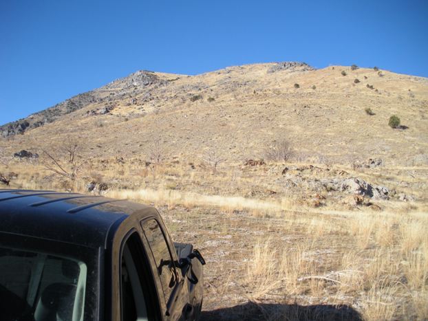
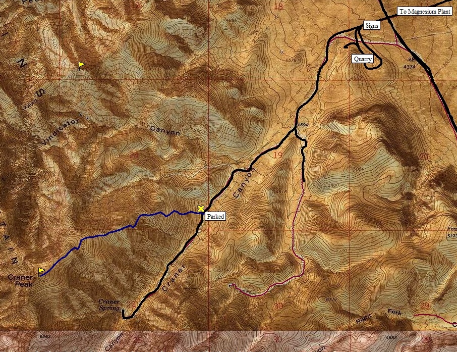
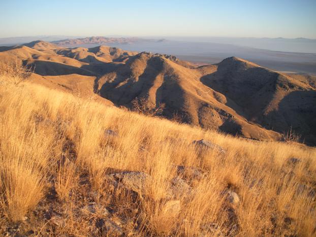
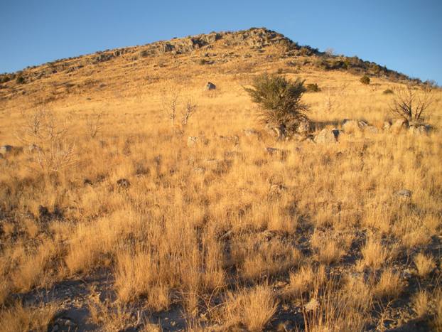
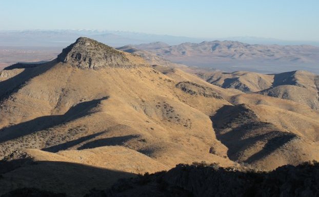
From anywhere near where I parked, start up the ridge on the right side of the road. Get on the ridgeline, follow it up. There are a few minor rocky areas but you can easily go around or work through. There is a false summit if you go this way so trek across its plateau to the highpoint and register. Views are really nice since you are central to see all of the mountain ranges in the northwest corner of Utah.
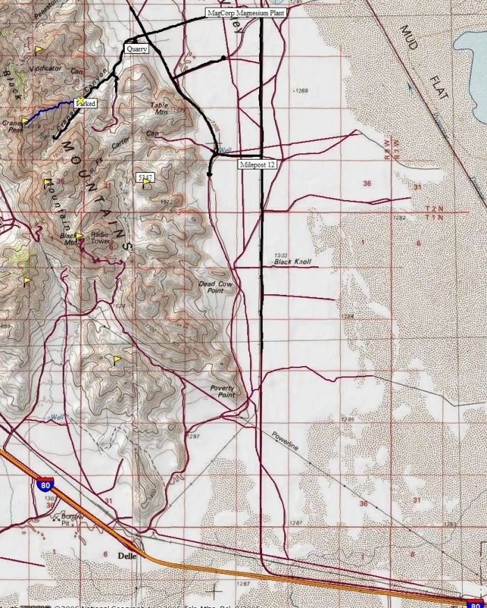
Take exit 77 of I-80 west of Tooele. Turn right and follow the paved road as it parallels I-80 for a few miles, then turns north. Keep an eye on the road mileage markers on the right side of the road. A bit past milepost 12 there is a turn lane and wide gravel road to the left. Take it, crossing over some rail tracks then the road becomes dirt. Follow this road west to some old corrals and a road junction. Turn right (north). At about 3.5 miles from the pavement you hit a 4 way intersection. The cross road going east-west is a very wide gravel road between the magnesium plant to the right and the quarry to the left. Go left toward the quarry. Shortly you will see signs saying "no trespassing". The quarry is private but I believe the BLM has a public easement to cross this short segment of private land. Shortly after the signs, you will see another set of signs indicating the one way road into the quarry and the one way road out. Take the one going in but don't go to the actual quarry. Shortly past the signs, look for a small road off to the right (just before the quarry road really opens up). This final road is on BLM land and would be best with high clearance. There is one Y in this road, take the right fork. From the quarry road to the start of the route is around 1.3 miles. If you stop short due to your car, the walk isn't too far. You could also keep driving and start closer to the summit but you might have a few cliffs to negotiate.
From the East
Black Mountain drive up, and distant Stansbury Range
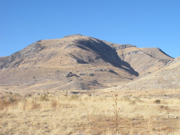
Craner Peak on the approach
Route start from where I parked
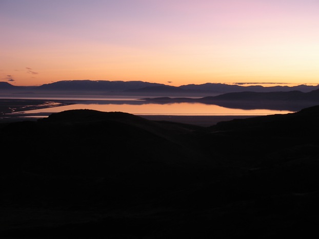
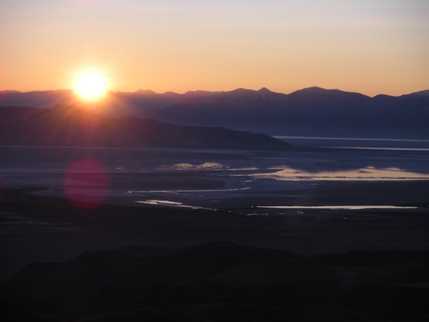
Morning light a few hundred feet above where I parked
Morning light over the Great Salt Lake and Wasatch Mountains in distance
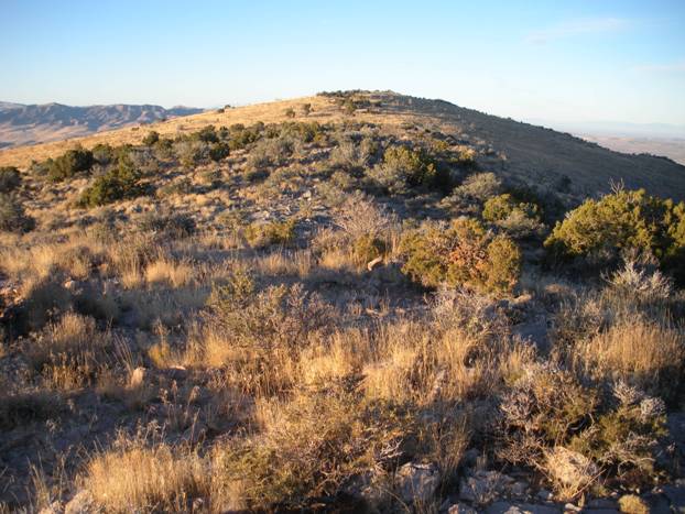
Final bit to false summit
Black Mountain to the north
Looking north while on the route
Looking north from the summit with Black Mountain on left
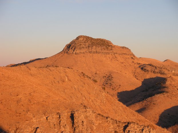
True summit from the false summit
Great Salt Lake from the false summit
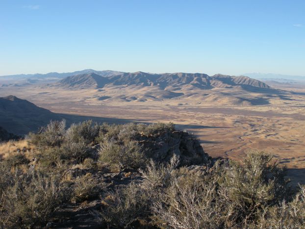
Cedar Mountains from Craner Peak


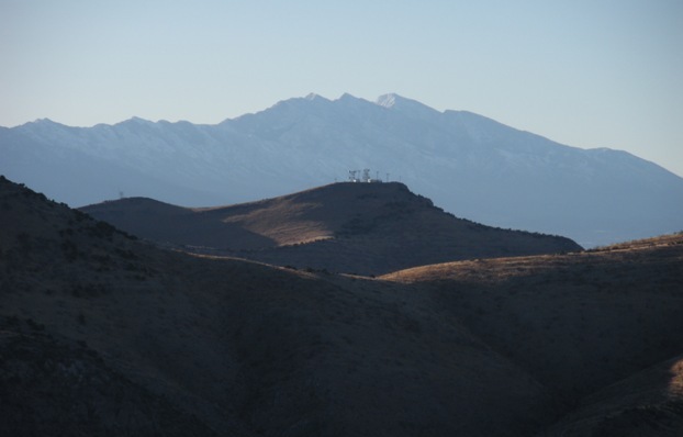
Looking north


