
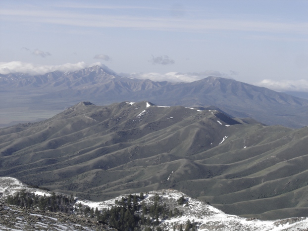
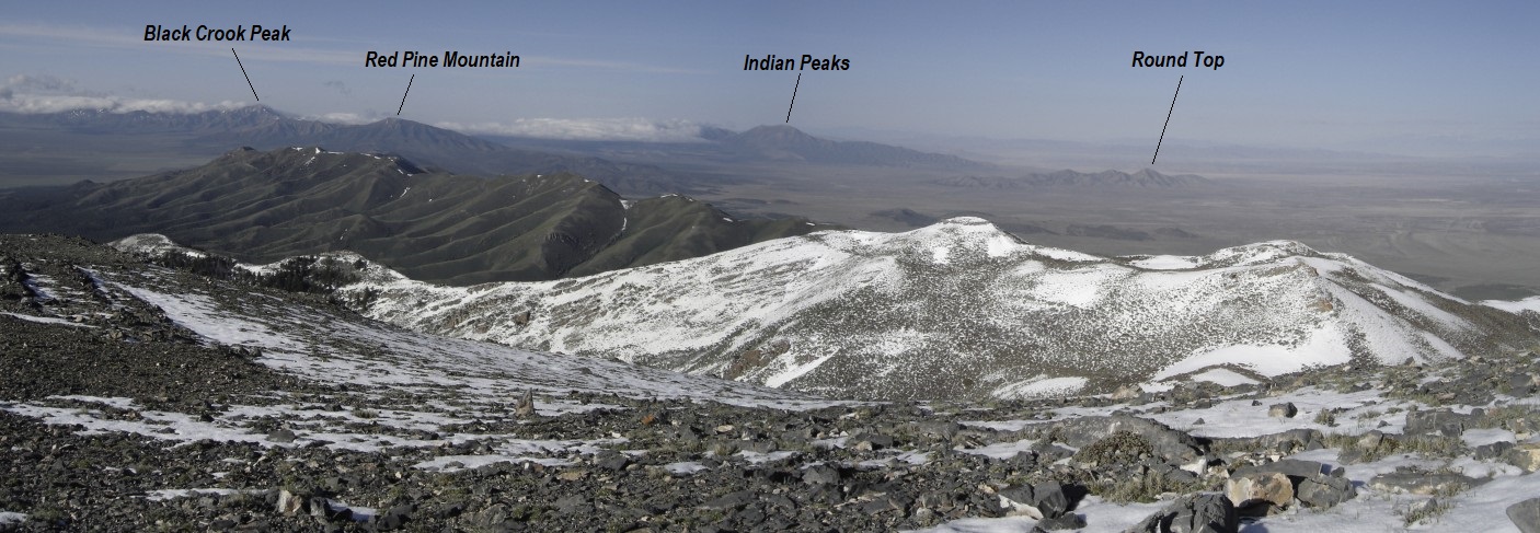
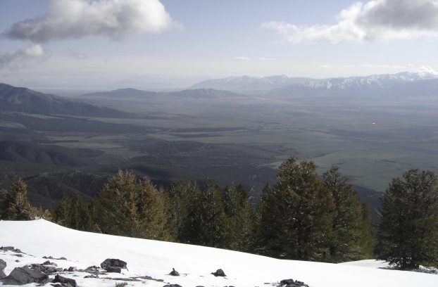
Stookey Benchmark is the highest point in the Onaqui Mountains, the range to the south and connected with the more popular Stansbury Mountains. It should not be confused with the Onaqui Benchmark at the north end of the Stansburys. Now you are confused, huh. This is a easy hike up one of Utah's 84 most prominent peaks for climbing. From the top are all the highlights offered in the area, Skull Valley, Dugway, Stansbury Range, Simpson Mountains and Sheeprocks to the south.
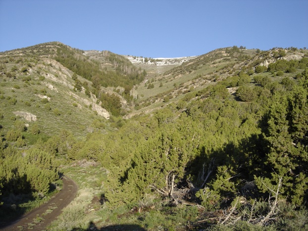
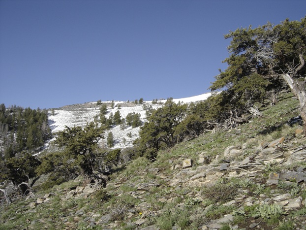
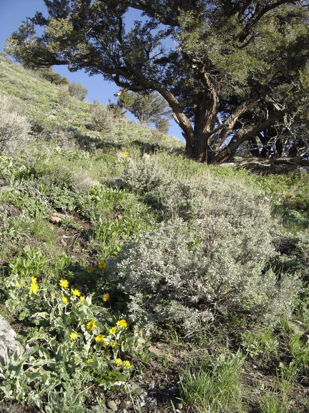
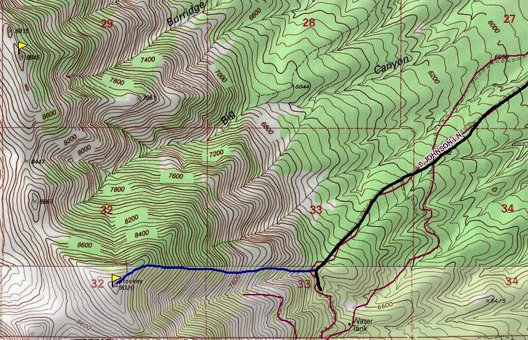
I walked the road down to where it turns south at a draw and found a game trail cutting uphill. A short distance above the draw the slopes opened and brush was avoided most of the route. As the map shows, I traversed a bit but eventually ended up on the rounded east ridge that continues up to the summit. The spring wildflowers were out making this one scenic desert climb. Class 2 with no difficulties.
Distance: 1 mile
Elevation Gain: 2,100 feet
Summit Elevation: 9,020 feet
Access: High clearance best
Stookey Benchmark & North Stookey
WillhiteWeb.com
Access:
Route:
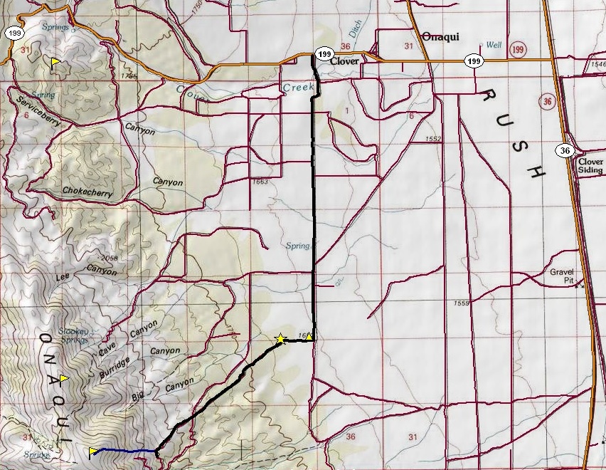
Find your way south of Tooele to the Rush Valley intersections of highways 36 and 199. Go west 3.7 miles and watch for a road heading south called Johnson Drive. Follow Johnson drive on pavement for 1.7 miles, then on dirt for 2.6 miles. There you should come to a junction with a road heading west. Turn right here and in a half mile you will come to a gate. Go through and proceed on a rocky road for 2.5 miles to the beginning of the climb. A high clearance vehicle would be necessary from the gate area (marked with a star on the map). You will notice a few campfire rings in the area where you park, just before the road turns south.
Peak 8845 "North Stookey"
Since Stookey Benchmark is a relatively easy trip, consider traversing over to North Stookey. It is nothing more than dropping down the ridge and up the other ridgeline to the summit. Views are the same. The big disadvantage is you would need to traverse back over the summit of Stookey. I chose poorly and tried to traverse from the saddle between the two through the timbered north facing slope. This was a big mistake as it turned out to be my seasons worst brush bash.
View of the road and route (on right) from the parking area
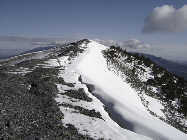
The final push to the summit
Spring flowers
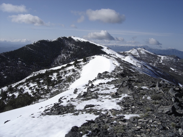
Looking North to Peak 8845 "North Stooky"
Summit area of North Stooky
Looking south to the southern Onaqui Mountains and the Sheeprock Mountains
Looking at the Cedar Mountians to the northwest
Looking northeast toward Tooele and northern Oquirrh Mountains
Looking back to Stookey from North Stookey
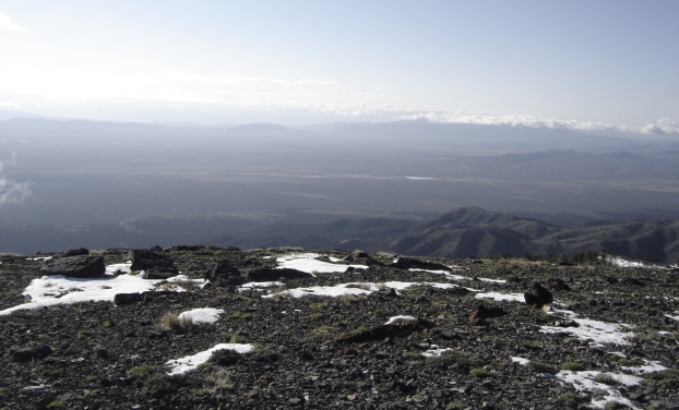
View looking south from Stookey Benchmark
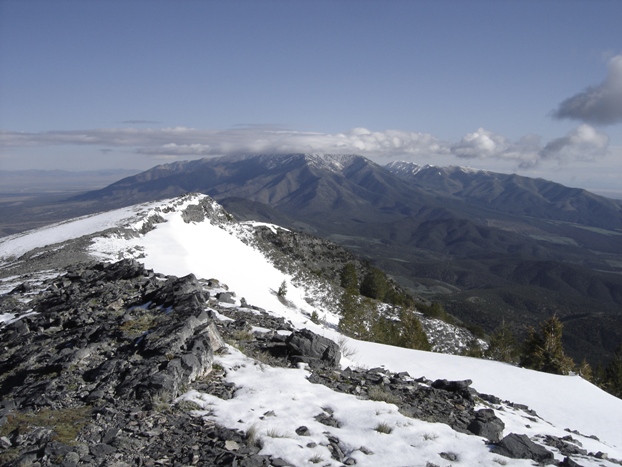
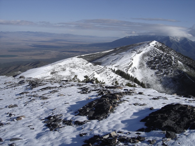
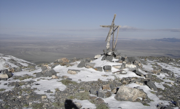
The summit of Stookey
Summit of North Stooky
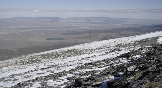
Looking to the southeast

The route


