
Indian Peaks
Distance: 1 mile up
Elevation Gain: 1,600 feet
Summit Elevation: 8,406 feet
Access: High clearance best, rocky road
WillhiteWeb.com
Access:
Route:
If you've driven the Pony Express Road across western Utah, you've spent a good deal of time looking at this mountain. It's dramatic rise out of the desert is impressive and it is the backdrop to Simpson Springs Station on the Pony Express. Indian Peaks also hits the Utah Prominence List at number 72. Few climb this mountain yet when I arrived on the summit, I found 2 water bottles stuffed with pieces of paper from climbers. A quick read of a few reveled they were placed by "rebel youth" who's parents shipped them to Utah for a summer of outdoor discipline camp. Some were having a great time, others still hated the world and everyone in it.
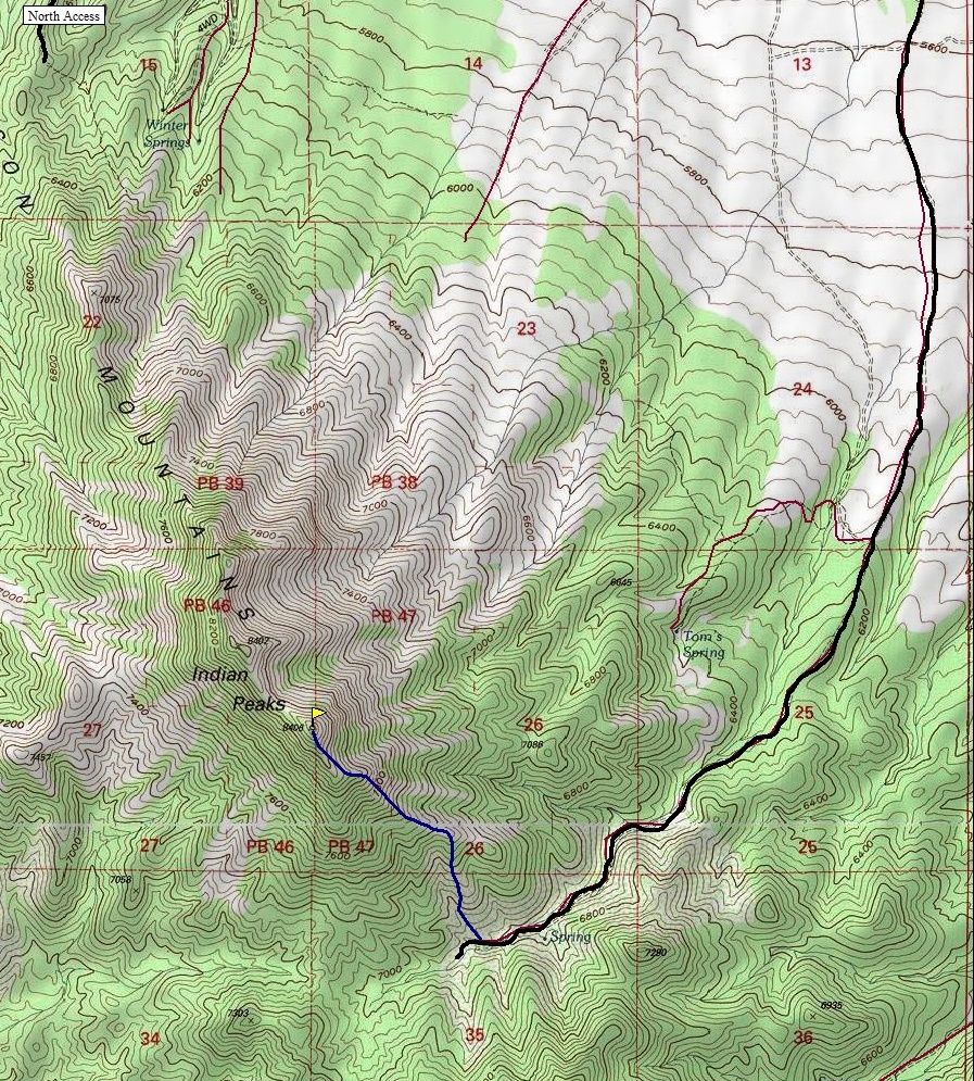
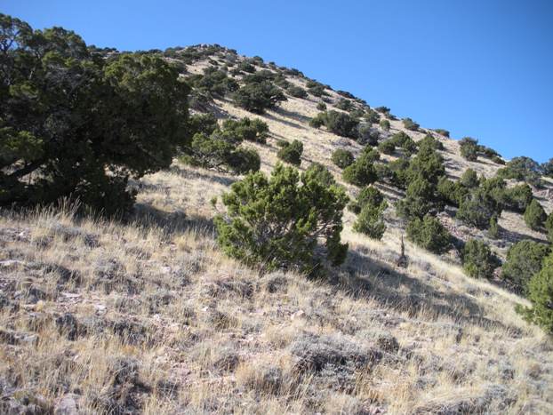
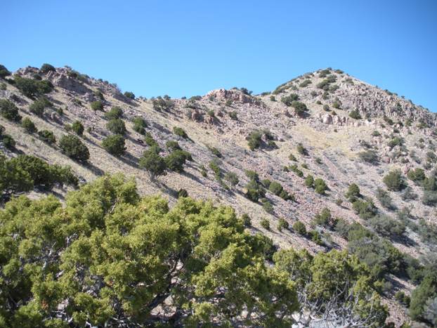
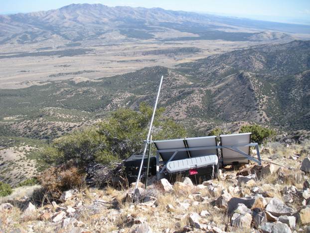
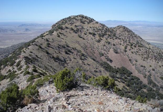
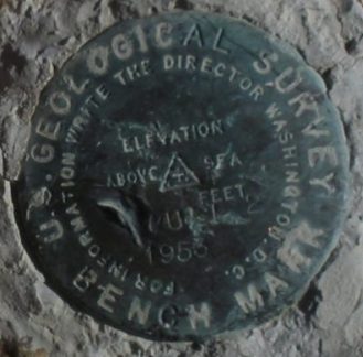
Went up the left, then right of a small wash (visible on the topo). The trees here were a bit thick at first but it opens up quickly. All 3 ridges in the area head to the summit so you can't really go wrong. Around 7,600 feet, the north side of the ridge has fewer trees and rocks. A false summit is all you see the whole route but once you reach that, the final easy 400 feet comes into view. This section has some rock that wouldn't be easy to climb over carrying two kids but a climbers/game trail exists traversing below both sections. The summit has a benchmark with 2 witness benchmarks and a solar panel with some locked boxes and weather stick (I think).
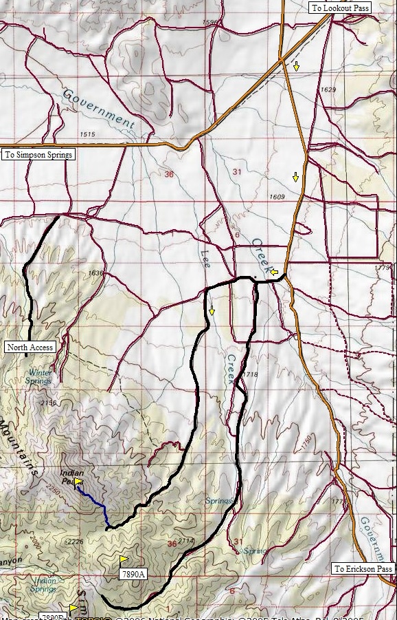
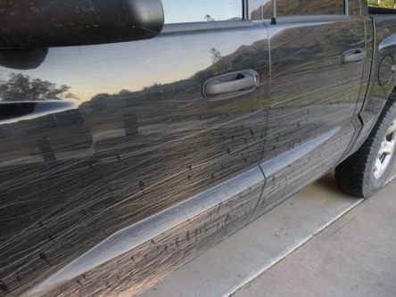
Take the Pony Express Road west from Highway 36, over Lookout Pass. When the road starts shooting southwest you will see Indian Peaks very well. Continue to a four way intersection with a sign pointing left to Erickson Pass. Turn left and go south 4.5 miles toward Erickson Pass. At 4.5 miles, turn right going west 0.7 miles to a intersection. The main road will curve left (shown as Government Road on USGS), continue straight on a rougher road (there will be a metal gate on the right fence line going into James Ranch (as shown on the map). Follow the straight road 1 mile, then turn left. In this mile is a washout that will prevent cars with low clearance from proceeding. After the mile and turning left, follow this road 3.4 miles to the end. Although it is rough, as 4x4 standards go, I though it was pretty good. But, brush encroaching the roadway will thrash your paint. There is also a nice campsite with a concrete fire ring and big trees just before the start of the route. I stopped on the road where shown on the map, the road/ATV trail did continue.
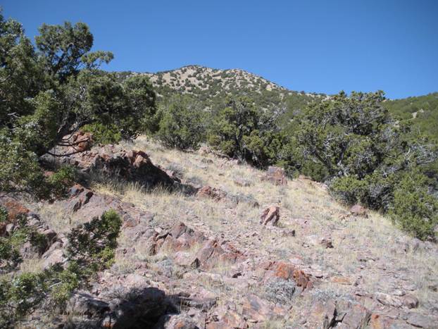
From the east. The route we took was just below left skyline ridge
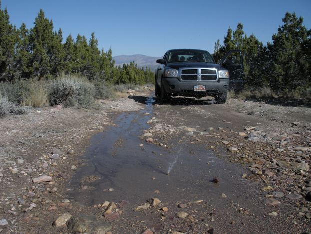
Very bizarre, an underground pipe from a spring (in the middle of nowhere) was bursting water out of the dry desert roadway.
The false summit from near the beginning
The steepest section below the false summit
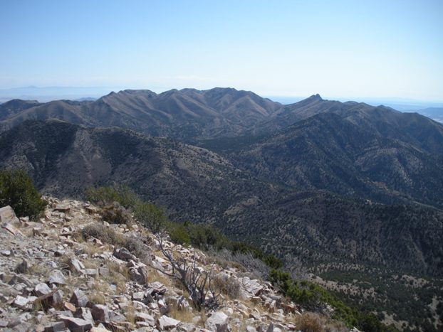
180 degrees of the view north/east/south, Stansburry Range (left), Sheeprock Range (cener), Simpson Range (right).
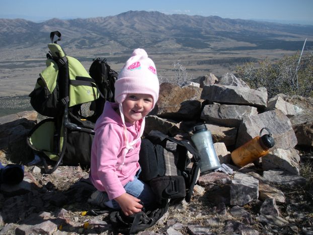
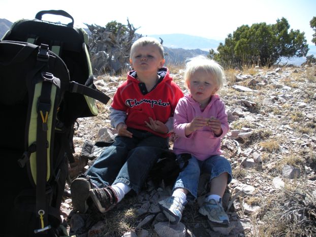
What do the kids do on the summits?
This happened so fast I could not grab my camera in time to catch both coming at me, one on each side of the road.
Summit Benchmark
Looking at the last 400 feet from the false summit
Chocolate granola bars, mmmmm
Map says the other summit is 2 feet lower, hope them surveyers were right!
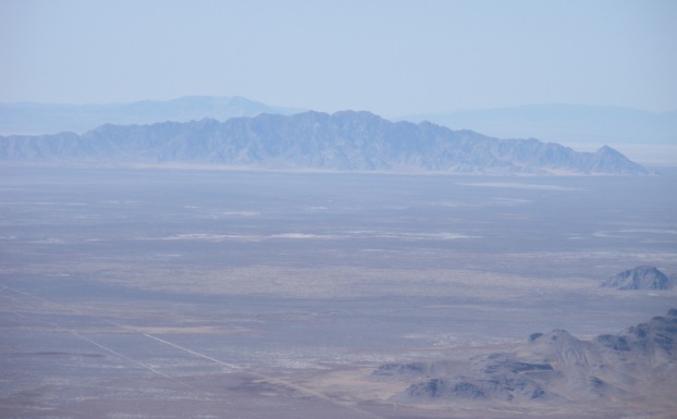
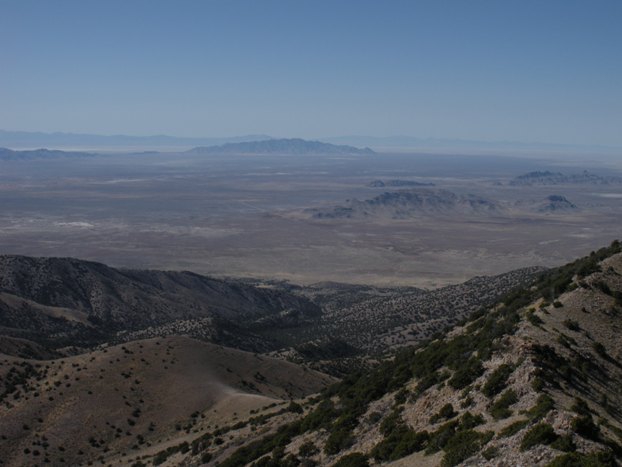
Dugway Proving Grounds and the restricted Granite Mountain
Table Mountain along the Pony Express Road
Some see issues with this, I see less walking and elevation
Mckinley on top, Black Crook Mountain in distance
Junk up on the summit
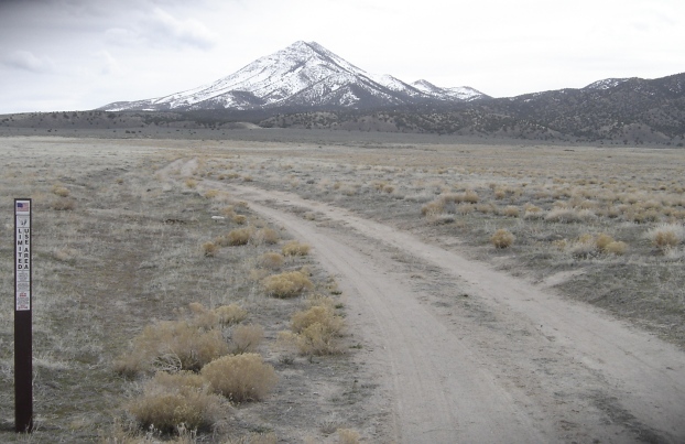

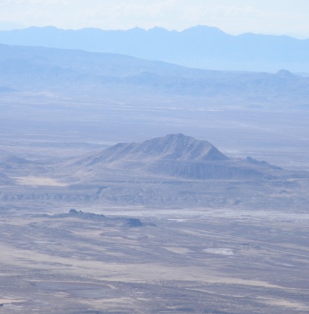
Indian Peaks from the north
Dugway Proving Grounds and the restricted Granite Mountain
Simpson Range


