
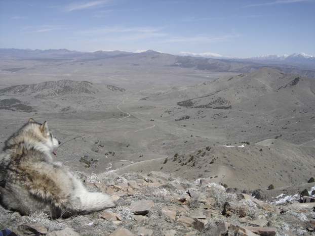
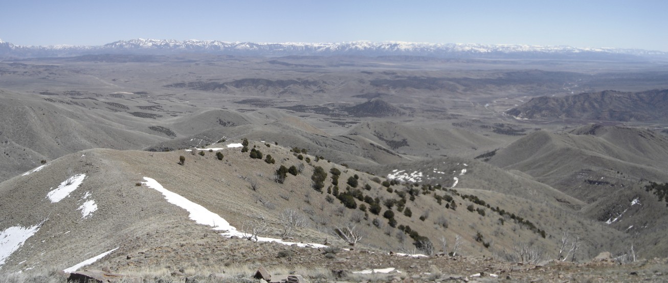
Champlin Peak is the high point of the Gilson Mountains. This small range is surrounded by highways most Utah residents drive but few could name the highest mountain. With snow, it looks like a great peak as it has good prominence above anything in the region. Access is best from the north on BLM roads. This is a good early season hike. The nearby views are north to the Sheeprocks, west over the Little Sahara Recreation Area and south to the Canyon Mountains.
From the end of the road, the north ridge takes off on the right. Climb up and follow it to the summit, you can not get lost. You will see your car most of the route down below.
Distance: 1 mile
Elevation Gain: 1,100 feet
Summit Elevation: 7,504 feet
Kid Difficulty rating: Moderate to Hard
Access: Gravel road, could get bad
Champlin Peak - Gilson Mountains
WillhiteWeb.com
Access:
Route:
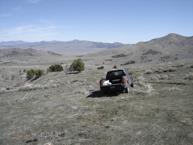
From Nephi on I-15, take Hwy 132 west toward Delta. Just after Furner Pass, paved road 148 signed "Little Sahara" goes right. Follow this road 3 miles to a dirt road heading southwest toward Champlin Peak. You may hit a gate in a mile and another few a bit later. Total miles from the pavement is around 7.5 with the last 3 or 4 preferring high clearance.
Driving to the base of the peak
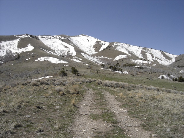
Started hiking just a bit further up the hill
North from the parking spot
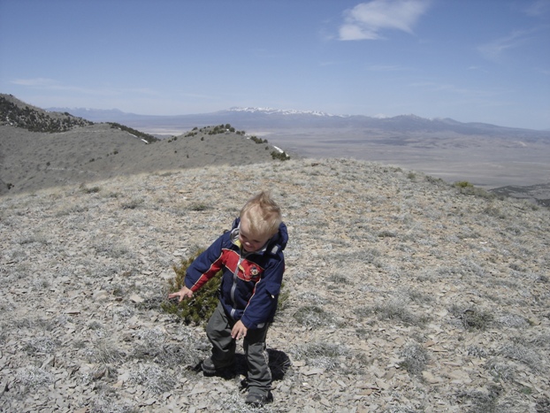
Maverick fighting the wind on the ridgeline
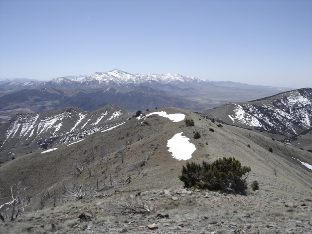
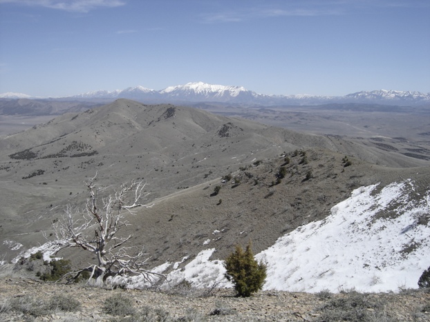
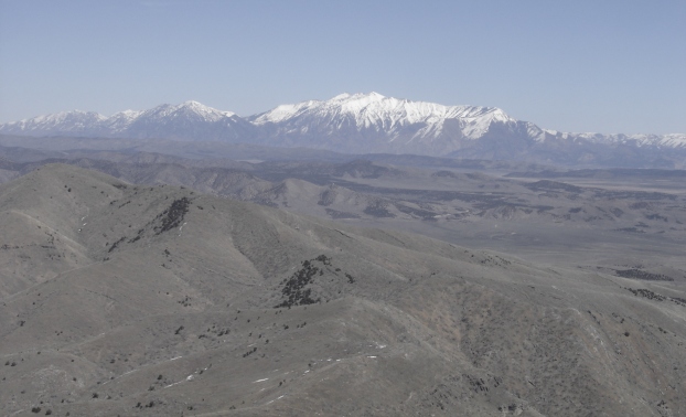
Looking NE to Mt. Nebo
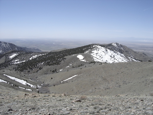
Looking south to Fool Creek Peak
Summit area
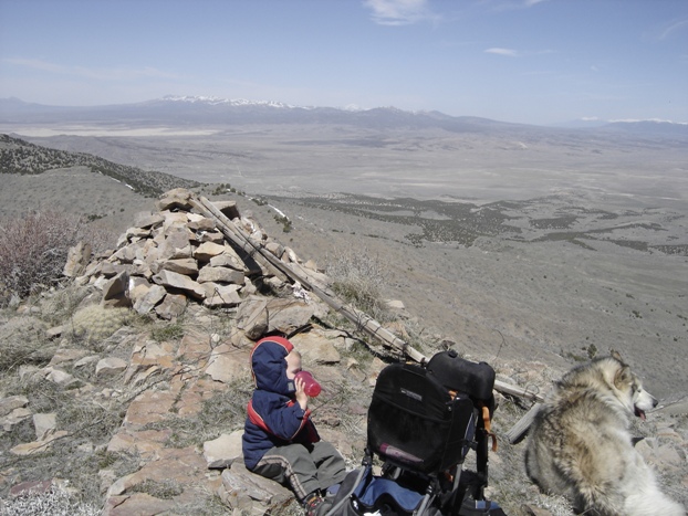
Dozer looking north
Looking SE to the San Pitch Mountains
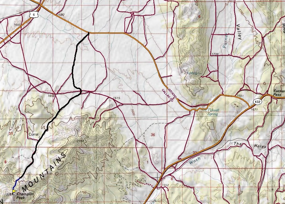
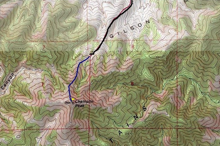
Topo map for Champlin Peak
Mt. Nebo
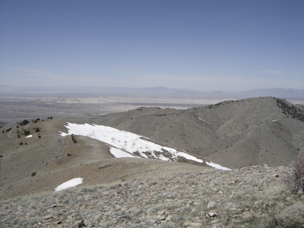
Little Sahara Recreation Area in distance


