East Mountain is the Emery County highpoint and popular hunting and horseback riding spot for local residents. It is a nice area to visit, high on the Wasatch Plateau. The mountain also sits above the Crandall Canyon Mine, site of the 2007 Utah mining incident.
Distance: 2 miles
Elevation Gain: 1,300 feet
Summit Elevation: 10,743 feet
Kid Difficulty Rating: Moderate
Access: Good Gravel
East Mountain - Emery County Highpoint
WillhiteWeb.com
Access:
Route:
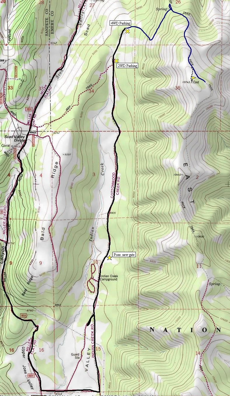
Walk up the right side of the fence line following the old road into the trees. Soon you will break out of the woods and see the trail climbing steeply up the hillside. After a few switchbacks, the trail will traverse northward to some springs on the ridgeline. Here you'll find some fiberglass water containers in an open area and a trail split. Go right into the fir trees. In a short distance is another trail split. Go right steeply climbing south toward the summit on a worn trail. When the trail comes out of the trees and on to steep grassy slopes, this is your moment to break off the trail and cross country up the slope to the summit. Trees mark the west side and meadows are on the east but make a mental note where you came out of the trees. The summit is lacking some serious qualities. The place has dead trees everywhere and sheep have trashed the place. There is a benchmark but the highest point seems to be about 100 feet away. The views are far but lacking much of interest but at least you have checked off another Utah county highpoint.
From Joes Valley Reservoir to the south, take the Miller Flat Road north following signs to Indian Creek Campground. From the north, on Highway 31 between Fairview and Huntington, take the Miller Flat Road south for 14 miles to the turnoff for Indian Creek Campground. With the campground entrance on the left, you may encounter a sign saying the road is temporary blocked due to abuse further up the road. If this is the case, you would have to hike and additional 3 miles up the road. Check with the ranger. The final 3 miles is a deteriorating road with big ruts in places.
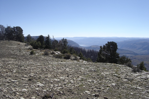
Looking south to Joes Valley Reservoir
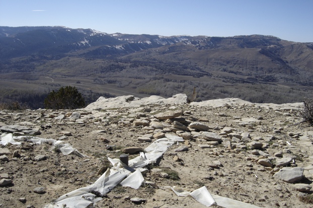
Lots of room on the summit
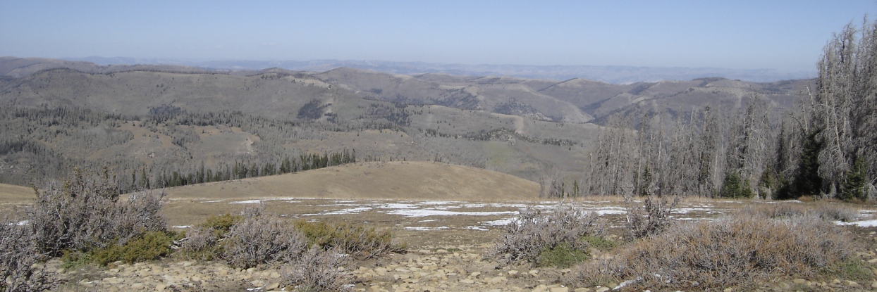
Looking west toward Skyline Drive area
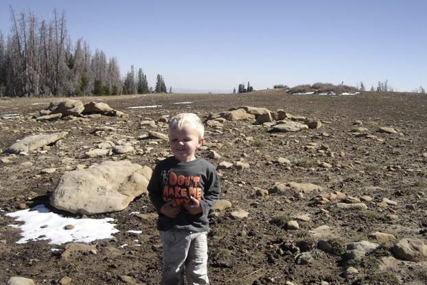
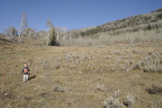
Maverick near the summit
Looking north
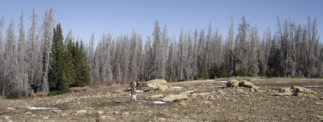
Dead trees and the summit area
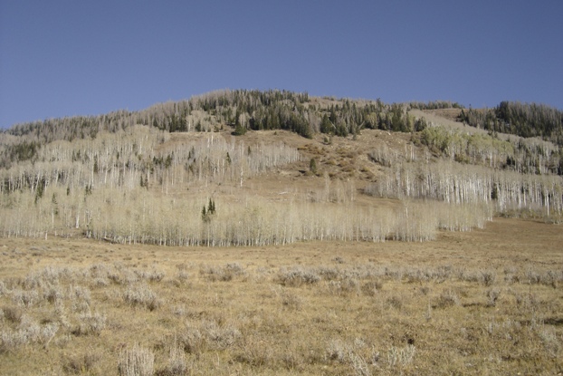
East Mountain from the area where I parked
Hiking along the fence line
