
Brian Head from the pavement
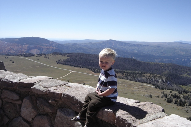
Looking south and down to Mammoth Summit turn-off
Looking northwest
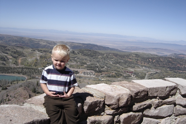
Looking west
Looking southeast
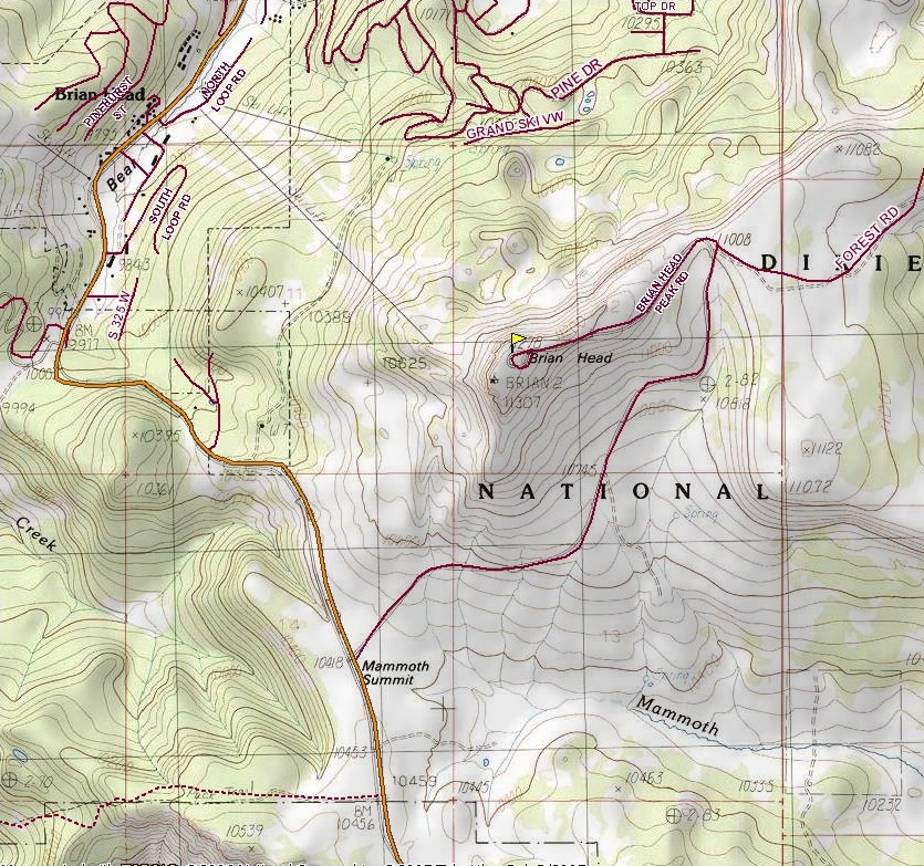
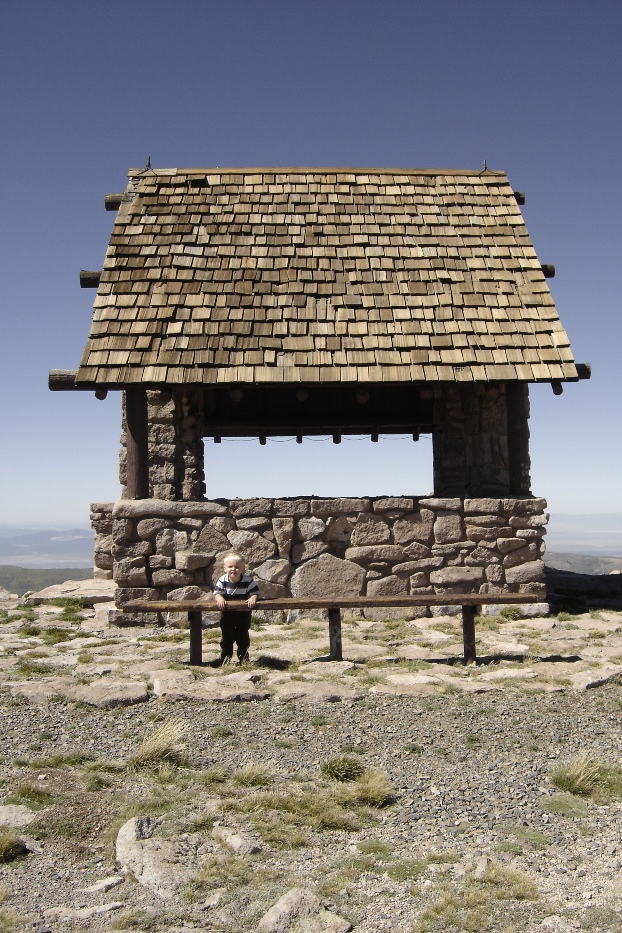
Brian Head Peak will be one of the best and easiest peaks you can grab in Utah. With a paved road most of the way and signs leading the tourists to the top, you are unlikely to be alone on the summit. Nearby is the Brian Head Ski Area with a few amenities and the possibility of an easy winter ascent as well. Cedar Breaks National Monument is also nearby offering vistas and several well developed hiking trails. The views from the summit of Brian Head reach into Arizona, Nevada and Utah. As the 18th most prominent peak in the state and the highest point in Iron County Utah, not much is around to block the fantastic views. The stone constructed building on the top is a real interesting addition. The peak was once used for fire observation during high fire danger..
Distance: Drive-up
Elevation Gain: Drive-up
Summit Elevation: 11,307 feet
Kid Difficulty Rating: Drive Up Peak
Access: Paved
Brian Head Peak - Iron County Highpoint
WillhiteWeb.com
Access:
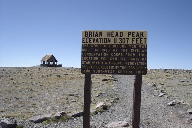
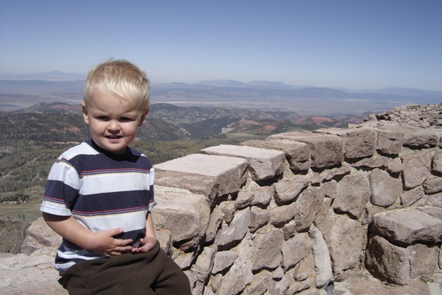
The shelter on top
Take Highway 143 south out of Parowan following signs to the Brian Head Ski Area. From Cedar City, take Highway 14 east to junction with Highway148. Go north on 148 through Cedar Breaks National Monument, then onto Highway 143 until the turnoff to drive up the peak at Mammoth Summit.
Summit sign
Walking up to the shelter
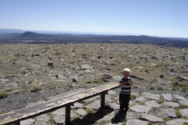
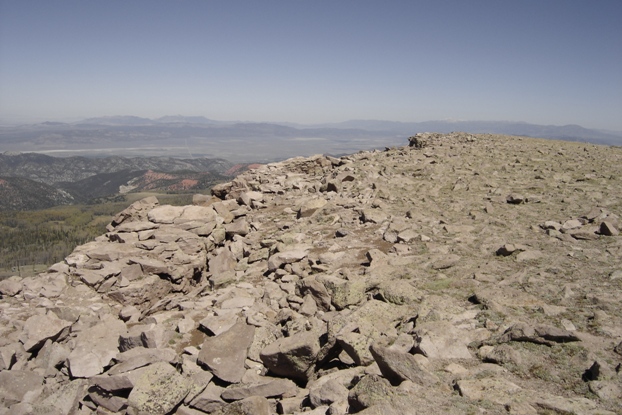
Flat summit
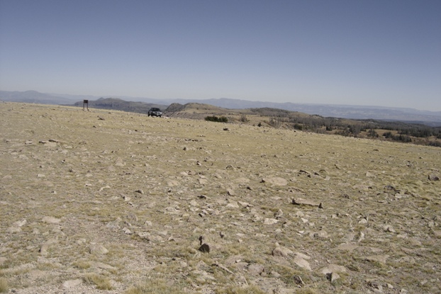
Parking area from the shelter


