
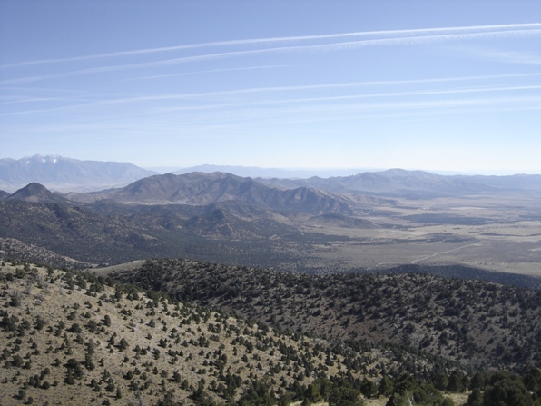
Boulter Peak is the highest peak in the East Tintic Mountains as well as a peak on the Utah Prominence List. It is also a new area to explore not too far from most Utah residents. Since an ATV trail goes all the way to the summit, it is an easy walk.
Distance: 2 miles
Elevation Gain: 1,200 feet
Summit Elevation: 8,308 feet
Kids Difficulty Rating: Moderate
Access: High clearance/4WD
Boulter Peak
WillhiteWeb.com - Utah Hiking
Access:
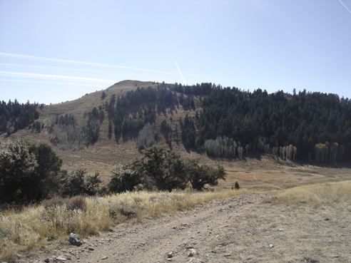
The first view of the summit from ridgeline at 7,950 feet
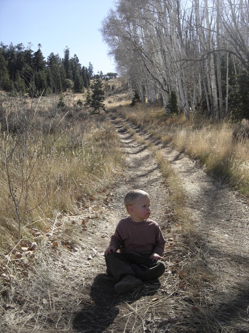
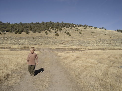
Hiking next to Dry Lake at 7,800 feet
East Tintic (North) Range and Boulter Peak from Sabie Mountain
Route:
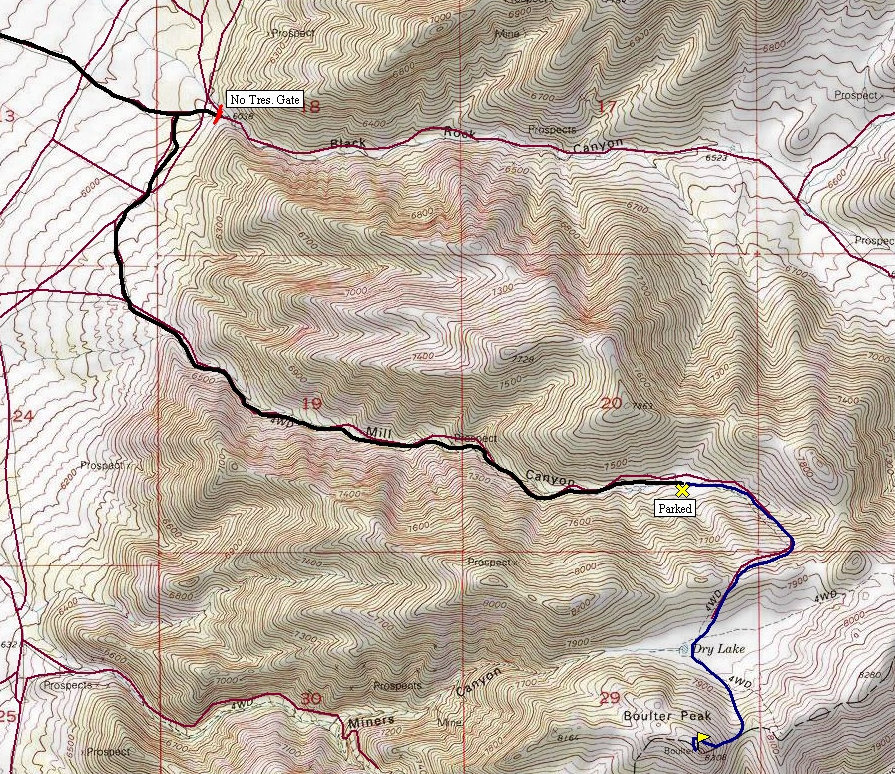
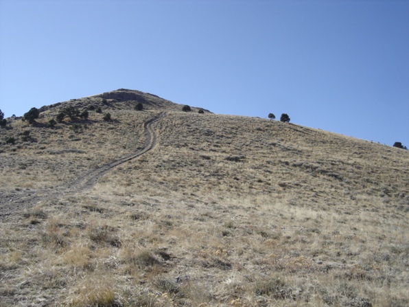
From where I parked (shown on map), the route really started climbing to get over a small ridgeline. Once on top where we saw a big buck, with the summit is staring right at us. There is a short drop down to Dry Lake before the tracks climb a saddle just east of the peak. From there, scramble up to the top or walk the ATV trail as it traverses the side and wraps around the back to get up. The top is a great place with no trees to obstruct any views.
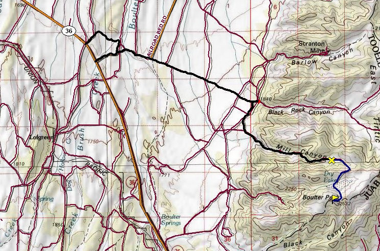
From Eureka on Highway 6, go west onto Highway 36 toward Vernon. After mile post 13, look for a sign for Black Rock Canyon Road to the right. This is a good gravel road. Travel for 4.2 miles, then turn right (south) on a rough and faint 4WD road. Regular cars park here and prepare for a long hike of 5 miles or so. With high clearance and 4WD, you can take this "ATV" road at least 3 miles before it gets aweful. Even then, it might be possible to get just below the summit. See the map for where I parked. With kids, I was determined to get as far as I could, willing to risk some damage to my truck.
Mammoth Peak
Tintic Mountain
Mt. Nebo
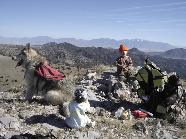
Looking East from the summit
The final climb from the pass at 8,025 feet
The climb up from Dry Lake to the pass
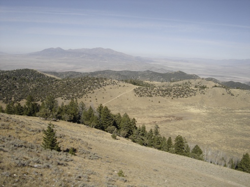
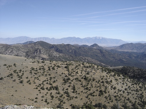
Looking SW across the East Tintic Mountains
Looking NW with Red Pine in the far distance
Looking north to the Oquirrh Mountains
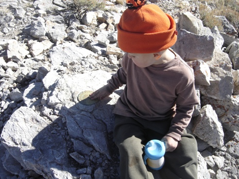
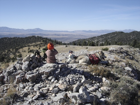
Inspecting the summit benchmark
Looking southeast
Here is a crazy video someone made taking their ATV to the summit showing footage the entire way. The video starts far away at 5 mile pass on Highway 73 using the dirt roads in Rush Valley to get to the mountain. He placed the flag at the summit.
Route Map
Overview Map
View south


