Granite Peak via SW Ramp - Trail Access
Elevation Gain: 2,200+ feet
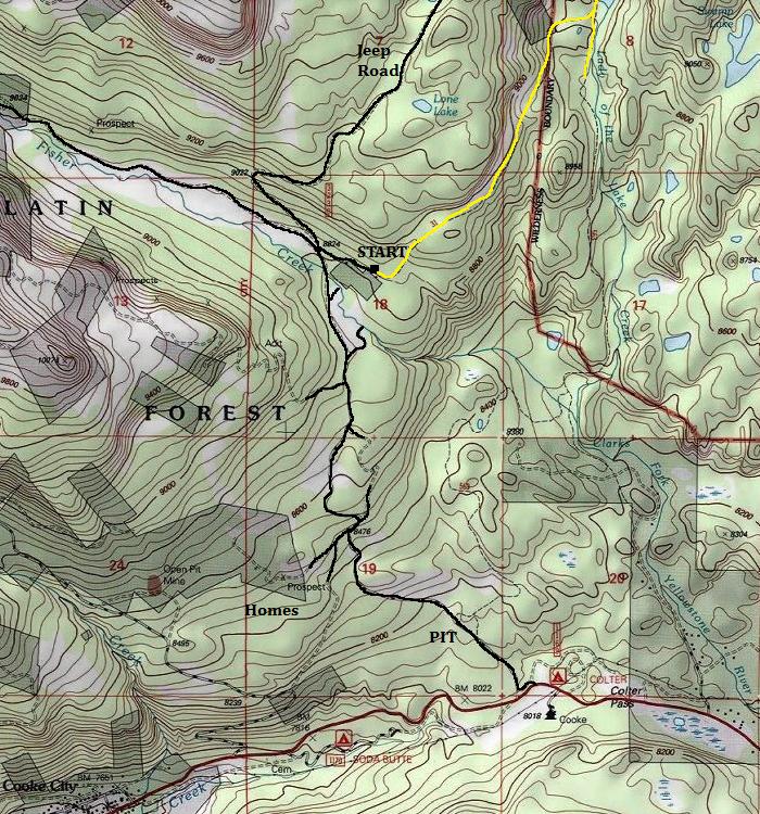
Distance: 10 to 12 miles to basecamp
Access: Good Gravel to last 1/2 mile
The highest peak in the state of Montana is Granite Peak, located in the south central part of the state in the Absaroka-Beartooth Wilderness. It is considered one of the hardest state highpoints. This area is remote enough that no permits or registration is required to go backpacking here. But the hiking season is short, late-July through September is the time to avoid snow and the difficult snow on Granite may not melt out until the end of August. Violent thunderstorms are common in the afternoon so consider this when planning how much time your hike and climb will take. Strong hikers can get it done in 2 days but an extra day for bad weather is a good plan. Most highpointers I've encountered would be best to plan 3 to even 5 days. During most years, an ice axe is necessary. There are several stream crossings that make the approach interesting and goats visit most campsites at some point in the day or night.
Access
Route
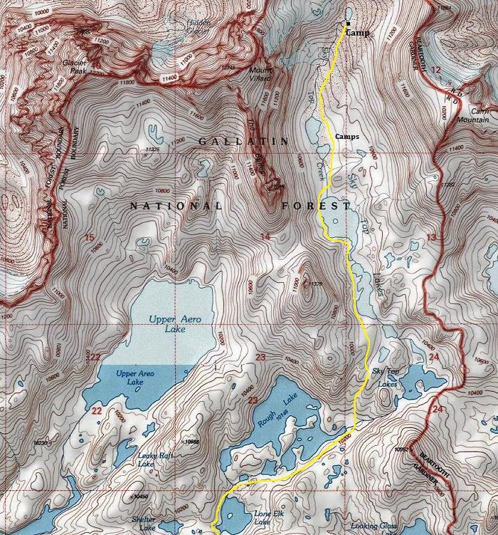
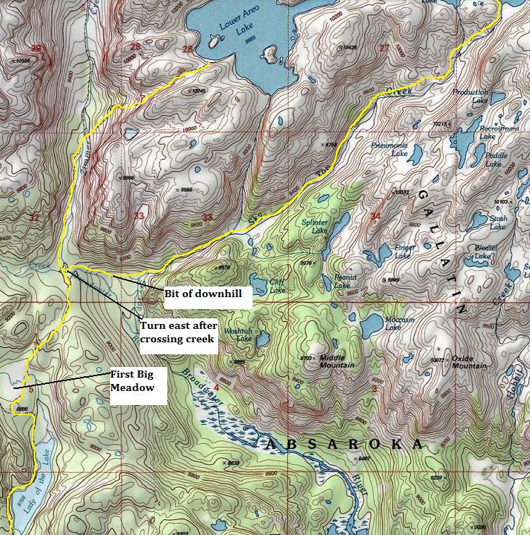
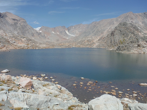
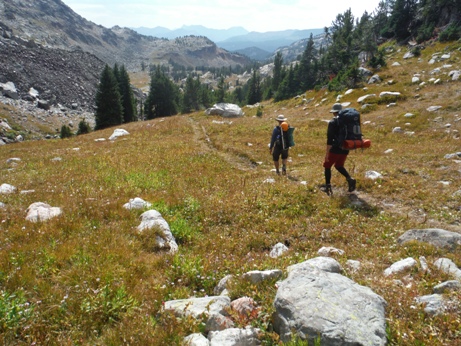
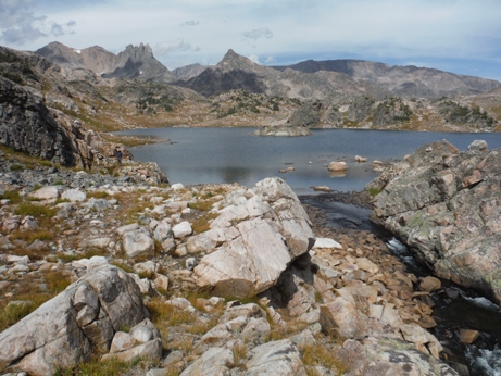
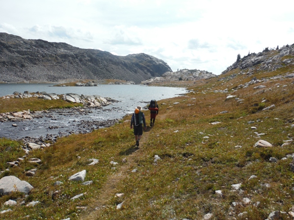
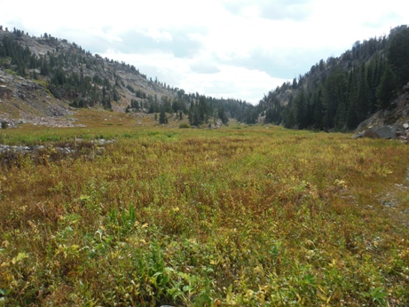
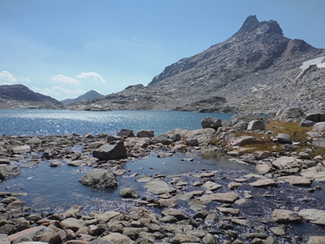
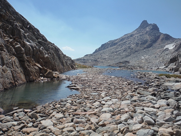
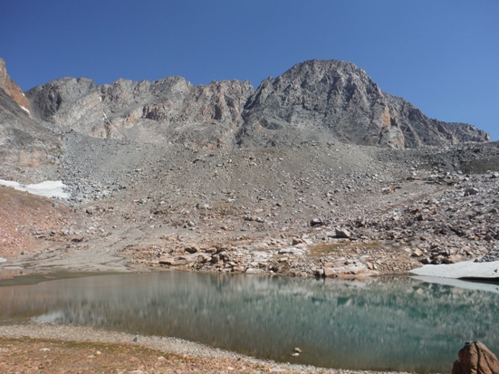
Get to the old trailhead which is behind the cabin, on the other side of a creek. In the first 2 miles to Lady of the Lake, the trail does some climbing at first but then descends quite a bit to the lake. The trail meanders along the west side of the lake, then hitting some meadows a mile further. At the largest meadow, the trail crosses in a marshy area that is easily missed. When you reach the creek crossing at the junction of Zimmer Creek and the Broadwater River, turn right on the far side. Although many reports suggest hiking by the Aero Lakes, the easiest trail is to turn right dropping 200 feet along the Broadwater River to the Sky Top Creek Trail. The Sky Top Creek Trail will take you up and up to Lone Elk Lake where you break out of the trees and enter the exposed alpine lakes. From Lone Elk, the trail will come and go, but in general, hike the west side of Lone Elk Lake, cross its inlet stream and skirt the south side of all the Rough Lakes. Before getting to the lower Sky Top Lakes, climb the meadows north directly toward the upper Sky Top Lakes, which you traverse on the west side. Then traverse the final two Sky Top Lakes on the right. Most camp at any of the lakes along the way but the highest camp can be found at the lake at 10,800 feet, and offers the quickest ascent in the morning to beat thunderstorm threats.
State Highpoints
From Cooke City, drive east just under 2 miles to Lulu Pass Road. Follow the main road passing many side spurs until you cross over the pass and the Fisher Creek Bridge. Right after is a 4 way with a sign for the Goose Creek Jeep Trail. Some park here but if you have high clearance, make a sharp right at the 4-way continuing a half mile to the actual trailhead.
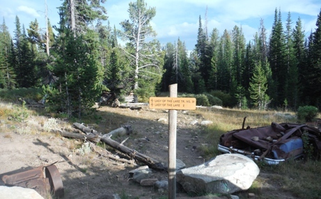
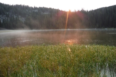
Lady of the Lake
Trailhead with old mining equipment and trashed car
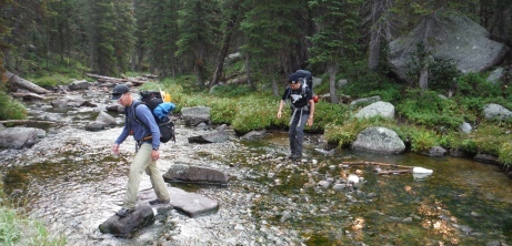
Crossing the Broadwater River
West side of Lone Elk Lake
Treeline on the Sky Top Creek trail
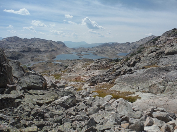
Leaving the Sky Top Lakes Basin looking down to Rough Lake
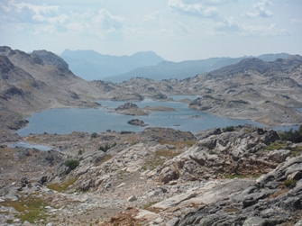
Rough Lake
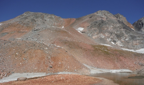
Sky Top Lakes Basin but Granite is still half hidden
Hiking route in the Sky Top Lakes Basin
In the upper Sky Top Lakes Basin
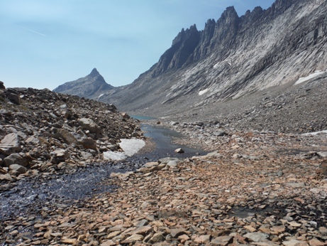
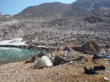
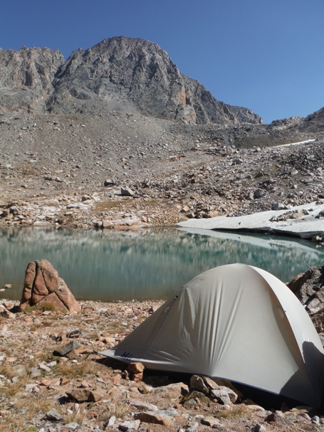
Camp at 10,800
Rounding the lakes in the Sky Top Lakes Basin
Camp and Granite Peak
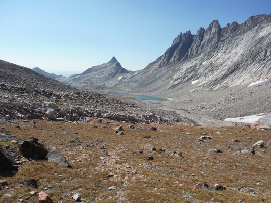
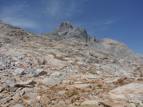
Looking from camp down into the Sky Top Lakes Basin. The route came from around the left of the far pinnacle. An optional return trip is to climb up through the saddle between the pinnacle and the Villard Needles, which takes you past the scenic Aero Lakes.
Mt. Villard
Villard Needles
Lone Elk Lake
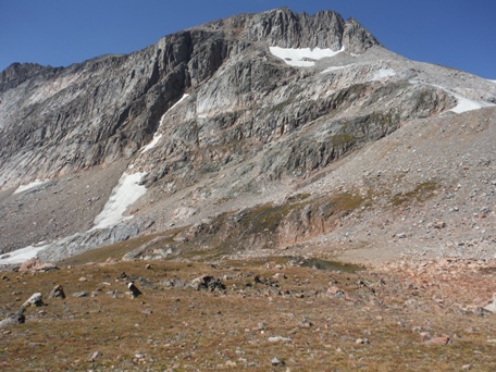
Granite Peak from lake at 10,800 feet


