Granite Peak via SW Ramp - Climb
Summit Elevation: 12,799 feet
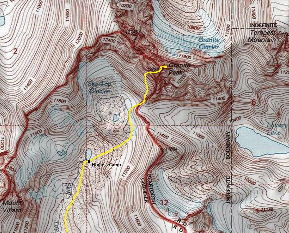
Elevation Gain from highest camp: 2,400 feet
Distance: 2 miles
For most state highpointers, the safest and most likely successful route of choice will be the SW Ramp. Although it is popular because it requires no ropes or rock protection gear, there are a few risks including 2 snow/ice sections in the couloir that often don't melt out, and significant rockfall danger from climbing partners or other teams on the mountain. That said, this route will challenge most as it is not a walk-up, many things could go wrong up on the route.
Access
Route
State Highpoints
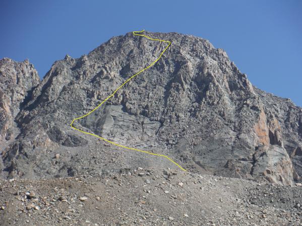
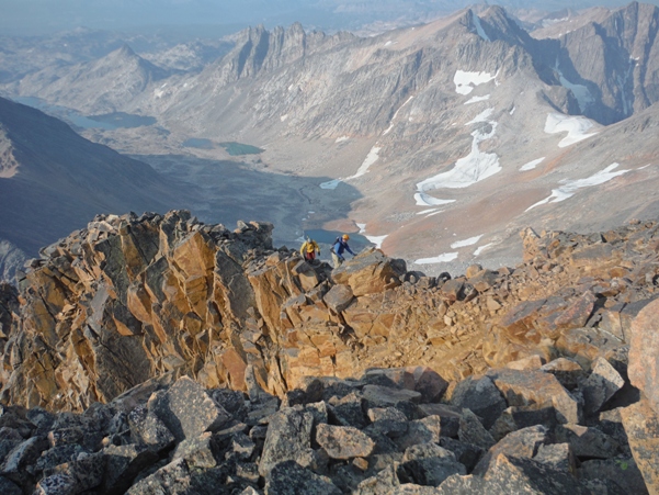
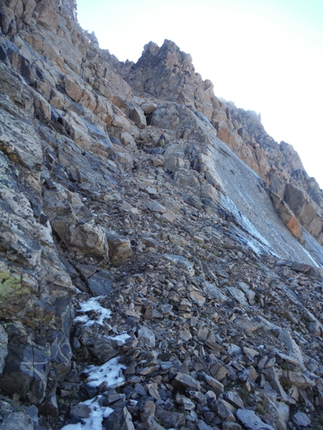
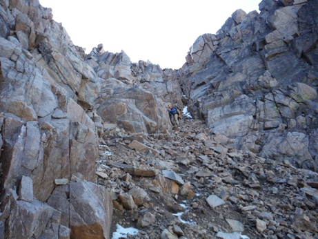
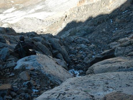
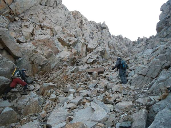
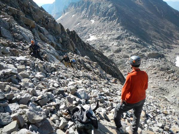
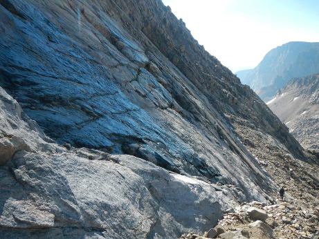
Rock hop your way up to the base of the first granite slab (don't get onto the connecting south ridge too early). Follow the lower slab up until a difficult rock step. Traverse around the left side of the step and find much more talus and rock hopping up to the main granite slab feature. After going under the big granite slab with black stain there are two gullies. Take the second one that looks like a 10 foot wide chimney. You are now on the SW Ramp, an obvious and easy to follow couloir that takes you nearly to the summit. Inside the couloir, there are two different rock steps that were made easy for us in 2015 as climbing ropes were left in place. Near the top of the couloir the route splits into two couloir choices paralleling, separated by a rock band. Take the right one into the skyline notch. Cross over the notch into a new gully system climbing easy rocks up to another notch. This second notch has an abyss on the other side. From here, you can climb easy 4th class on the ridge up to the summit or for third class, traverse left at about the exact level of the notch on some exposed ledges that lead to an easy gully that goes up to the summit area. In general, once on the ramp, it is unlikely you will get off route as choices are few and mostly obvious. Just remember, this is a state highpoint so it attracts people of all sorts of skill and comfort levels. Other groups will likely drop rocks, try to plan around others on the route. Wear helmets and bring an ice axe unless others report the snow is gone.
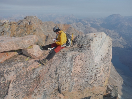
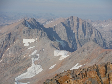
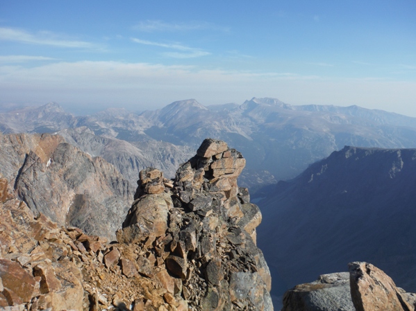
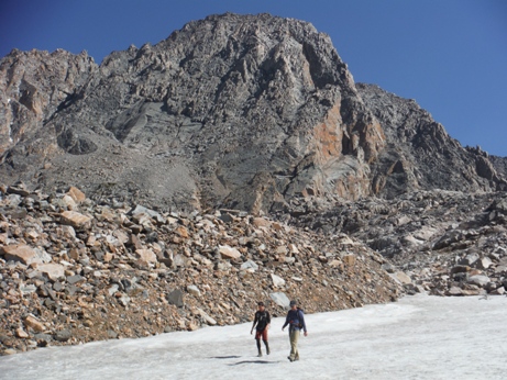
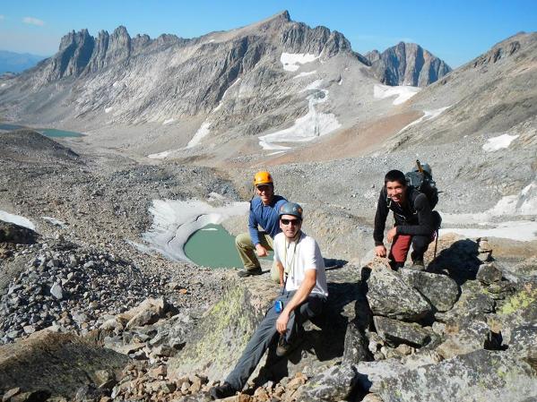
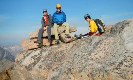
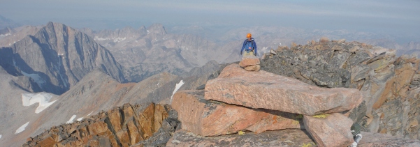
Group shot on summit
Group shot after successful decent from upper mountain
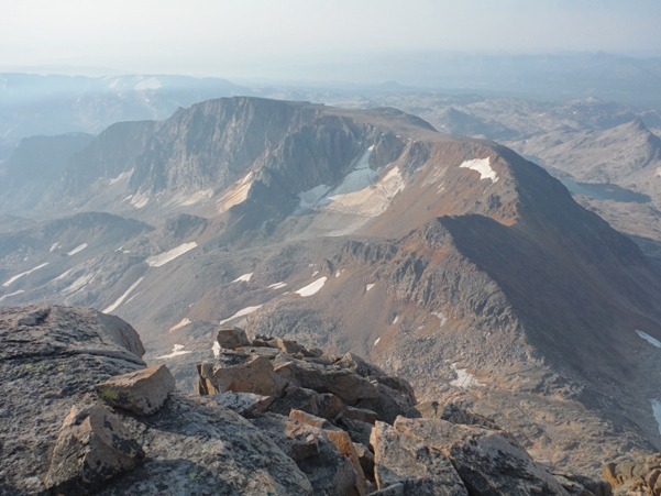
Looking north from the summit
All done
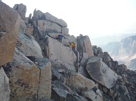
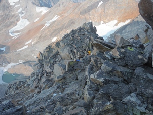
Between the first and second notch
The Slab
Showing SW Ramp Route
This is the Ramp above the slab
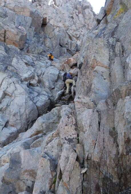
A few rock steps in the couloir aided by ropes
The talus below the slab (talking to the next climbing party on our way out)
In the couloir trying not to drop rocks
One of the rock steps
Near the top, head to the gap
On the ridge near the summit
Signing the register
The final scramble to the summit
Looking SE to Cairn Mountain
Looking west to Glacier Peak
Scramble up just below the slab


