This is an enjoyable climb with many options for how difficult you want to make it. A ski lift will take you to the summit ridge most of the year so technically, this is one easy trip. Even a start from the bottom, the hiking is on easy roads and open ski slopes most of the way. A winter ascent would be a fun challenge as well as the trails that access the peak from the west side.
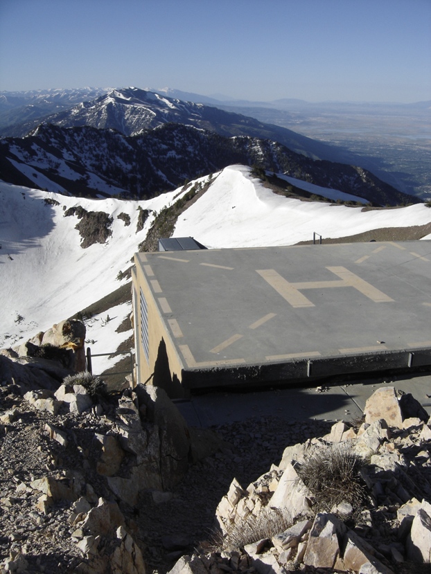
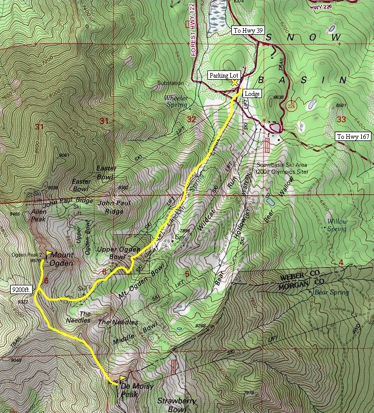
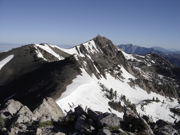
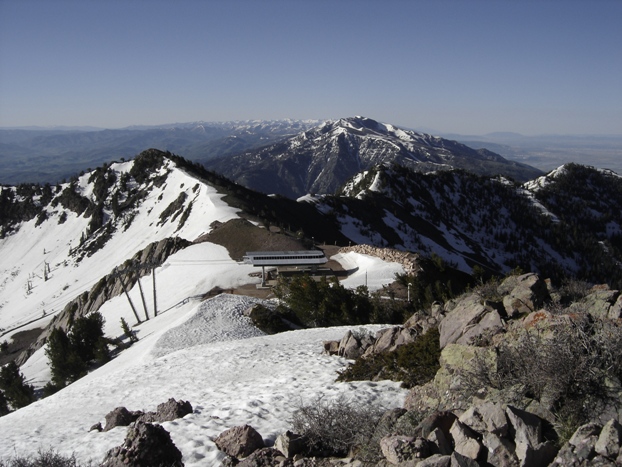
If you start from the bottom, hike up the ski slopes from the main lodge area. Chances are you'll run into one of the roads that work their way up the mountain. The road is a bit round about so it's quicker just to climb straight uphill. Just keep going uphill until you are in the upper basin and can see the summit with its major rock cliffs. Work up to the obvious saddle to the south of the summit. In summer a road goes up to this saddle. The road continues from the saddle up the west side of the peak all the way to the top. It's a bit creepy crawling around all the communication equipment but find your way to the highest point where there is an informational display as well as a heliport. The views are spectacular. Pick a good day; lightning must love this summit with all the metal up there.
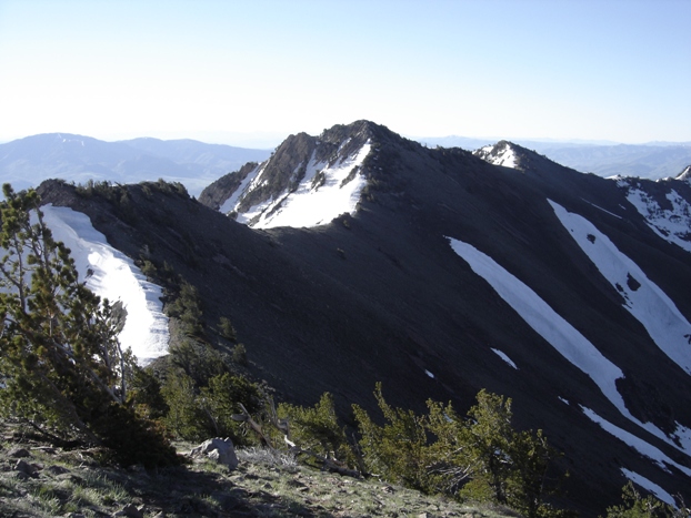
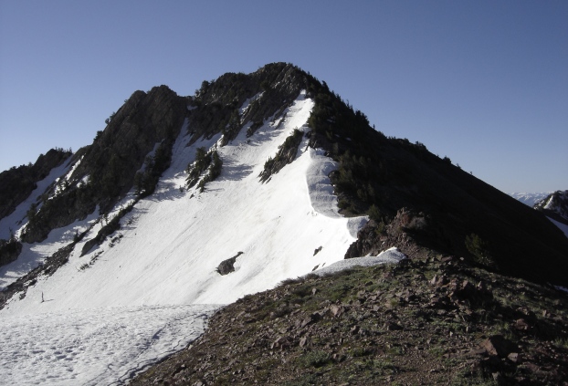
To continue on to De Moisy Peak, just hike the ridgeline over to it. Some trails do exist on the west sides of the bumps avoiding extra elevation gains and losses. The final climb up De Moisy was a bit brushy on the north side. The south side was free of bushes and a ski lift sits just below the summit. This is a better decent route back down, or the start of the trip if you took the ski lift up!
Distance: 2.5 miles + 1 for both peaks (Snow Basin Route)
Elevation Gain: 3,170 feet for Mt. Ogden
Summit Elevation: 9,570 feet
Access: Paved
Mt. Ogden & De Moisy Peak
WillhiteWeb.com
Access:
Route:
Find your way to the small town of Mountain Green just off I-84. In town near the Sinclair station, take a turn north on State Road 167. Follow this road up until you take a left on State Road 226. Snow basin is about three miles from this point. In the summer, you can also access the resort on a very scenic road just west of Huntsville (the northern portion of State Road 226).
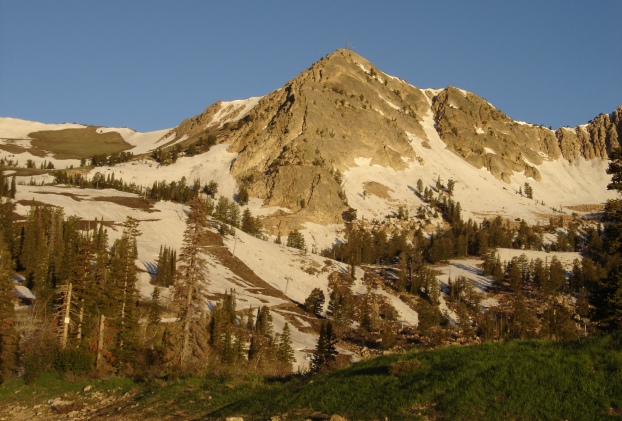
Mt. Ogden from upper ski area
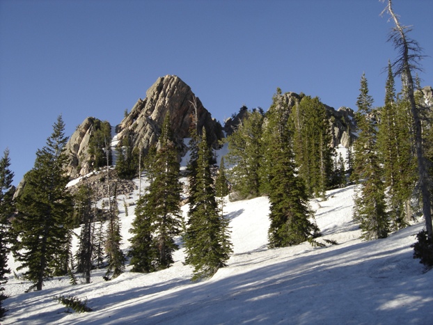
The Needles
Looking Southeast
North ridge of De Moisy Peak
Traversing over to De Moisy Peak
Mt. Ogden from De Moisy Peak
Heli-pad on Mt. Ogden summit
View west
Ski lift just south of De Moisy Peak
West
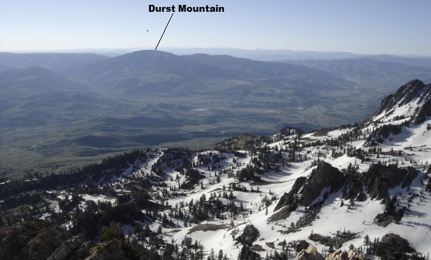
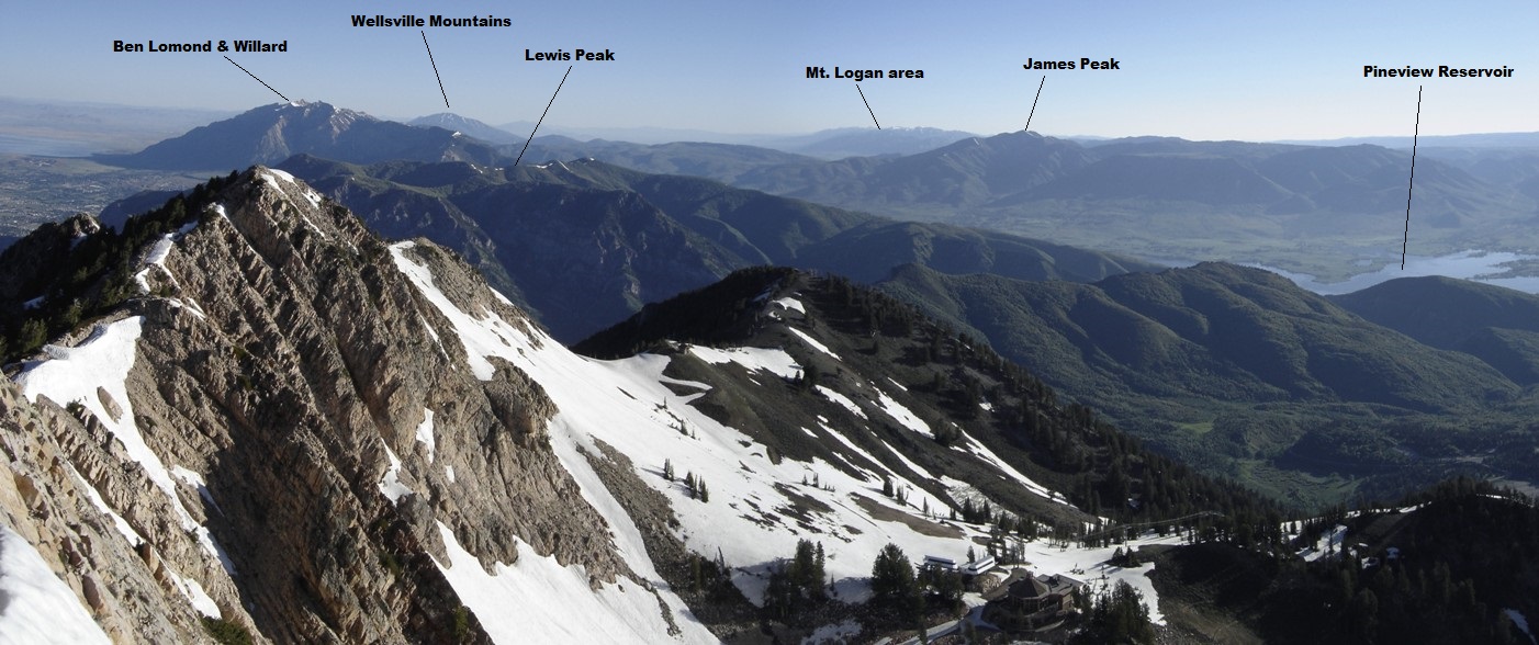
Looking north from Mt. Ogden
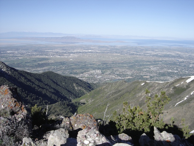
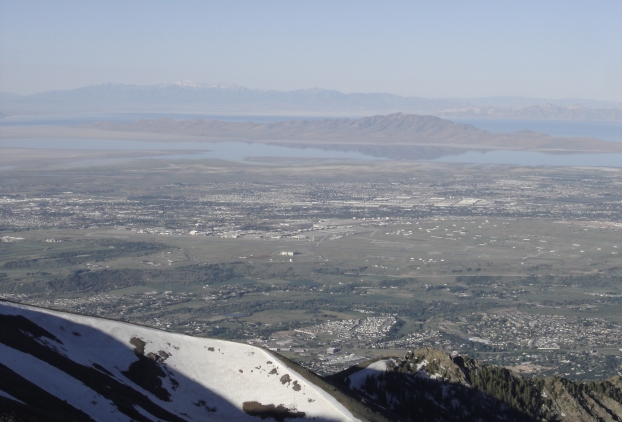
Looking south and southwest

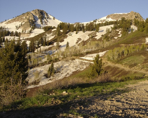
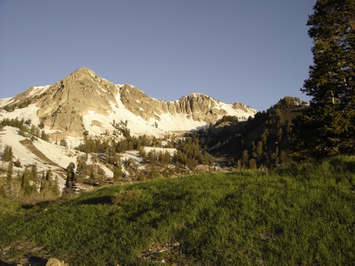
Spring time
Spring melt


