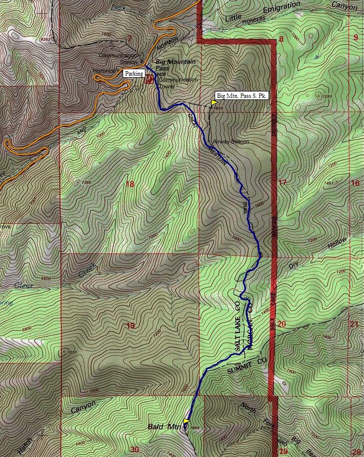

Another Bald Mountain? Midway between the two immigration routes into the Salt Lake Valley is Bald Mountain, the 9th highest Bald Mountain in the state. This particular one has a nice trail to the summit, The Great Western Trail. The trail can usually be hiked as soon as Big Mountain Pass (Hwy 65) opens in late May.
Distance: 3.3 miles each-way
Elevation Gain: 1,240 feet
Summit Elevation: 7,869 feet
Kids Difficulty Rating: Moderate
Access: Paved
Bald Mountain
WillhiteWeb.com
Access:
Route:
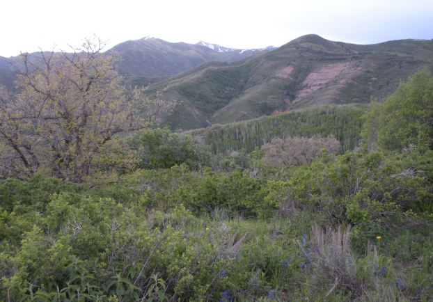
The trail takes off on the southeast side of the parking area. It will first climb an un-named hill that actually meets the criteria of a mountain with 300 prominence. Near the top is an old fallen Beacon Tower. The trail then drops several hundred feet, before climbing another 400+ feet to gain the top of Bald Mountain. Most of the route is in forest except the summit areas and the south facing slopes of the first peak. But, the forests often open up so their are views most of the route.
Take the Mountain Dell exit off I-80 in Parleys Canyon. Follow highway 65 to Big Mountain Pass. Park in the giant dirt lot with toilet facility on the south side of the road.
East to Lewis Peak
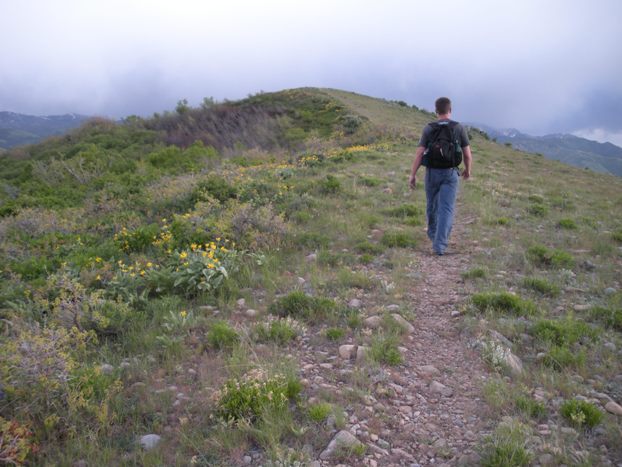
The summit of Bald Mountain just ahead
On first summit, Bald Mountain in distance
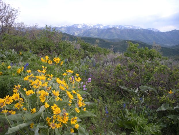
Views south to Gobblers Knob and Mt. Raymond
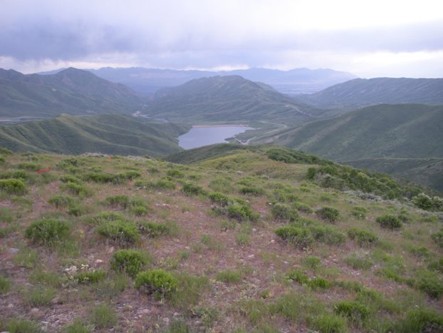
Mountain Dell Reservoir
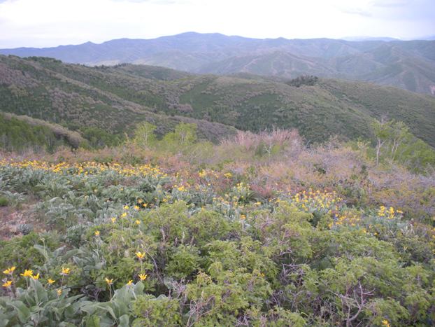
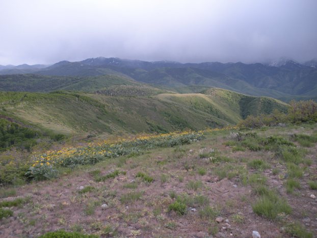
View south with storm clouds
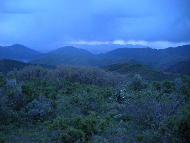
Hiking back near dark looking into Salt Lake Valley
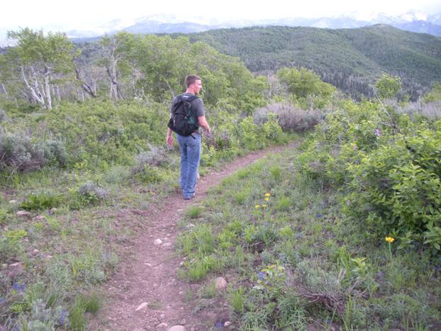
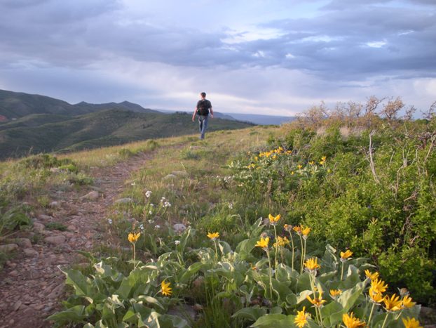
Hiking back from the summit
Bald Mountain from Lookout Peak Trail
