
It is rare a big mountain like Provo Peak gets less attention than its smaller neighbors like Y Mountain and Squaw Mountain but this is the case. Provo Peak and its unnamed neighbor East Provo both reach over the 11,000 foot mark making them a target for peakbaggers wishing to do all the 11ers in the Wasatch Mountains. This is a fun, easy climb from the route I describe below. One might also climb them from neighbors Corral Mountain or Freedom Peak.
From the saddle, walk the jeep road east, soon becoming an ATV road/trail. Keep an extremely sharp eye out for a trail (overgrown with grass) going uphill on the right. Sometimes this trail split is marked with cairns and sticks, other times it is very hidden. If found, this climbers trail will take one to the summit. If missed, you will end up below the erosion bars north of the ridgeline. The first few feet seem to be the worst, the trail is really easy to follow afterward. At first you are in trees and brush but the upper part of the mountain is talus and rock. Go early enough and you'll avoid the sun until you reach the summit as the entire climb is on the west side and the slope is steep. To continue on to East Provo Peak, you have two options. Drop down the ridgeline between the two or take the south ridge off Provo, drop down and traverse below the summit of Provo Peak. Although it looked easy to just traverse between the two, the drop was steep on slabby rock with the smallest amount of loose gravel on top. It was only 30 feet or so but a sip looked to be unstoppable. You will not die, just have some bad road rash. Climbing up the west ridge of East Provo is straightforward, no issues, just basic class 2 scrambling.
Distance: 2 miles plus 1 for Provo East Peak
Elevation Gain: 2,700 feet + 1,000 for Provo East Peak
Summit Elevations: 11,068 & 11,044 feet
Access: Rough gravel and dirt road
Provo Peak & Provo East Peak
WillhiteWeb.com
Access:
Route:
Drive up Provo Canyon (Highway 189) looking for a sign for Squaw Peak Road (near mile marker 9). Follow this narrow paved road until it splits. A sign points to the right for a city view overlook. Go left, road becomes gravel shortly after. Follow this until Rock Creek Campground where the gravel road now becomes rough. Continue around 2 miles up to a pass and parking. High clearance vehicles can take a short spur left at the pass to get a bit higher.
East Provo Peak from Provo Peak
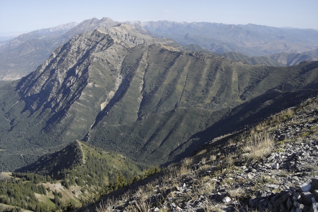
Cascade Mountain with Timpanogos behind
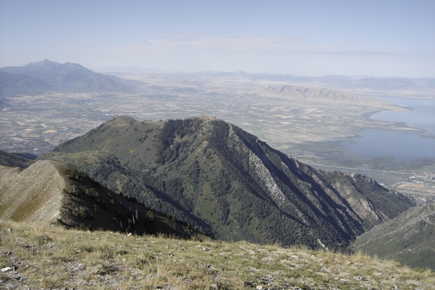
Provo, Utah Lake, Maple Mountain, Y Mountain and Lion Head
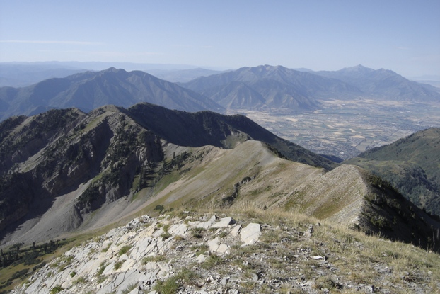
Looking south to Corral Mountain, Spanish Fork Peak, Loafer Mountain and Mt. Nebo
Buckley Mountain
Provo Peak from Corral Peak
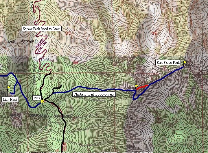
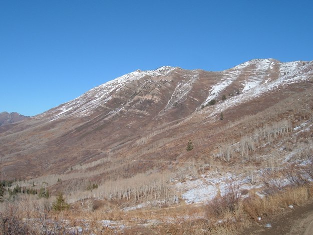
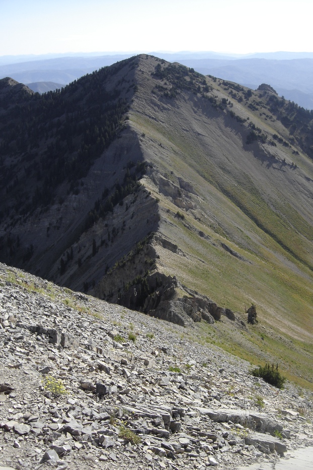
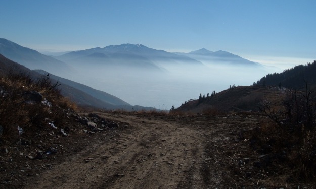
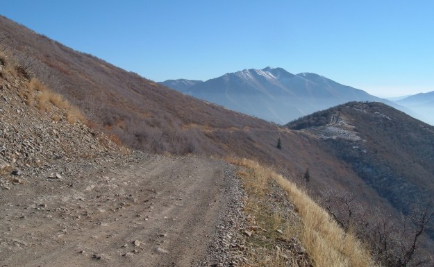
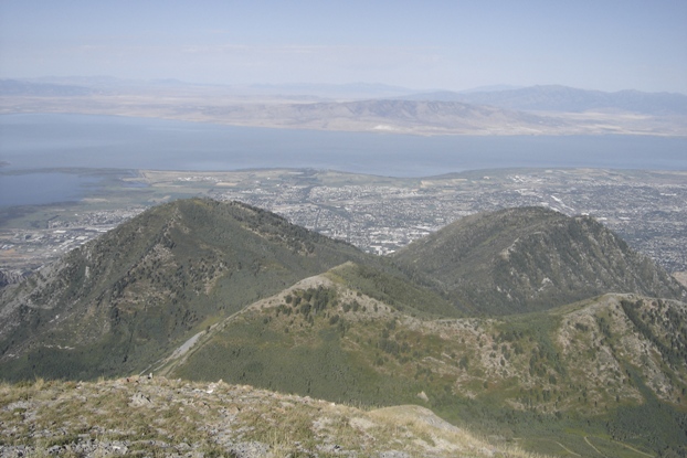
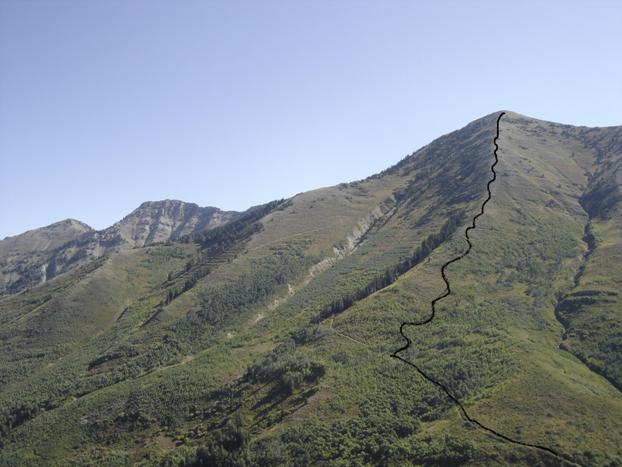
West Ridge route up Provo Peak
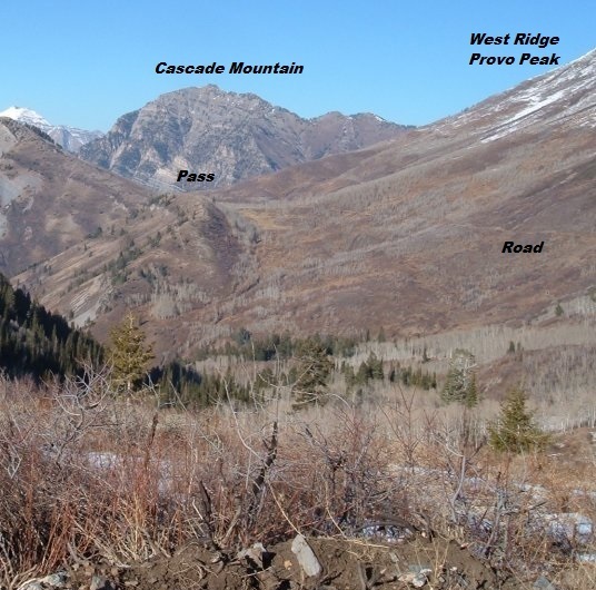
Approaching Provo Peak west ridge trail via the road to the south
Approaching Provo Peak via the road to the south
Below Provo Peak on the road heading south
Below Provo Peak on the road heading south on a hazy day


