
Sardine is near Mt. Ogden and Snowbasin Ski Area. A nice trail gets you much of the way to a ridgeline where you then have to bushwhack and take game trails to the summit. This peak, as well as the two others described below would be considered "dumpster diving peaks" because they are not very good climbs and the views are limited. Sardine Peak at least has some views, Little Sardine is scenic at first and Sardine Hill is viewless.
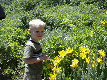
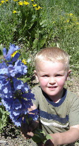
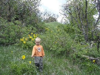
Lots of wildflowers
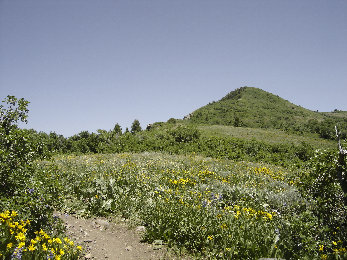
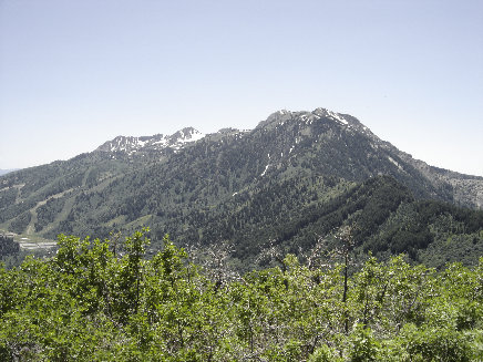
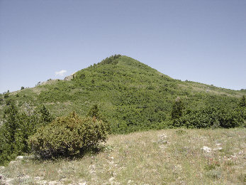
First view of Sardine near the ridgeline
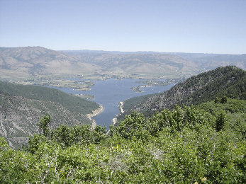
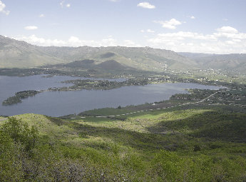
Pineview Reservoir from Sardine Peak
Mt. Ogden from the summit
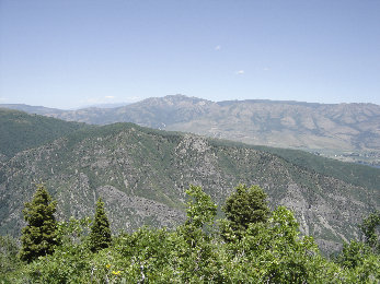
Looking north to James Peak
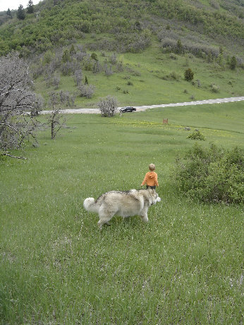
I left my family here to avoid them the bushwack
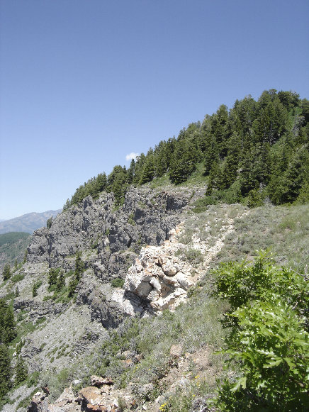
The rougher side of Sardine
Smell this
Sardine Peak, Little Sardine, Sardine Hill
Distance: 3 miles, half and a quarter mile
Elevation Gains: 1,165, 370, and 40 feet
Summit Elevation: 7,485, 5,970, and 6,461 feet
Kids difficulty level: Moderate and Easy
Access rating: Level 1 (Level 3 for Sardine Hill)
www.WillhiteWeb.com: Your online resource for hiking, climbing and travel
Access:
Route:
>
Nearing the ridge
Trail dirt
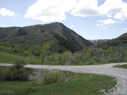
Big Sardine with Little Sardine in forground below
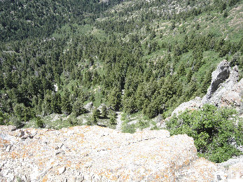
Getting close to the top
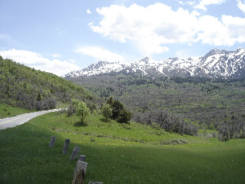
Mt. Ogden ridge from pullout for Little Sardine
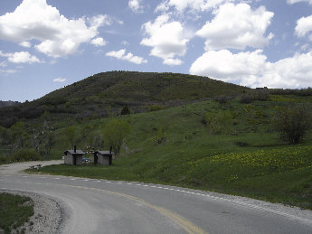
Sardine Peak from Snowbasin Parking Lot
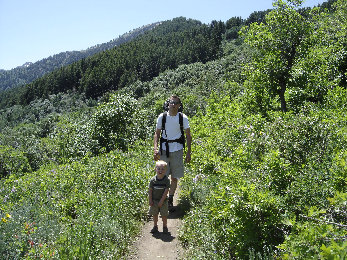
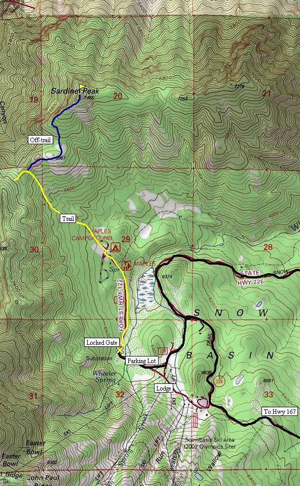
For Sardine Peak, walk or mountain bike the closed road one mile (past a few other trails) to the campground. At the end of the road is a trailhead sign and the beginning of the Ogden Overlook trail. Follow this nice trail through forests and meadows one mile to the pass at 7,000 feet. One could mountain bike this trail as well. Now the summit will be visible 485 feet above. Take a minor trail (hard to find at first) along the ridge north, then north east. The trail fades out completely in a large meadow just before the real uphill begins. From this meadow, scout out your best option for getting though the thick canopy. I chose to cut northwest through the forest to a ridgeline that looked bare along the western cliffs of the peak. This worked out fairly well, the brush under the trees was not too bad and the cliffy area was brush free. Near the summit it was back into heavy underbrush which was not pleasant. On top, there were views to the east but nothing that great except down to the Pineview Reservoir.
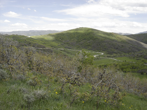
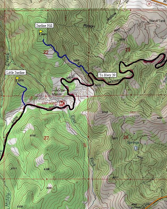
For "Little Sardine", park in a large turnout on Highway 226 shown on the map. The Great Western Trail parallels the road here next to the pullout. Cross over it and go cross country up grassy slopes avoiding the heavy brush patches. If you pick the right route, you can stay on grassy slopes almost to the top. The final 10 minutes will probably take you into a thicket where the summit is located.
For "Sardine Hill", drive the gravel road shown on the map to its end at a water storage tank. A few homes are being built at the beginning of the road but access seemed ok for now. From the water storage tank, hike through brush and small trees to the highest point, which was not exactly clear as it is pretty flat and awful up on top.
From Ogden, take Ogden Canyon toward Huntsville. Just before Huntsville, turn right on Highway 226. This scenic paved road takes you to all 3 peaks as shown on the map. Sardine Peak starts in the parking lot of Snow Basin Ski Area.
Views hiking up Little Sardine
Just above the pull-out for Little Sardine
Sardine Hill
Working between the brush on Little Sardine
Pineview Reservoir from watertank on Sardine Hill


