
White Chuck Mountain
WillhiteWeb.com
Distance: 2 miles, class 3
Summit Elevation: 6,989 feet
Elevation Gain: 2,000 feet
Road Access: Gravel, rocky in places
Spend any time hiking around the Mountain Loop Highway and you know that White Chuck Mountain has a dominating appearance and location. It has nearly 3800 feet of prominence and ranks as the 25th most prominent peak in Washington State. The solitary mountain is also surprisingly easy, yet potentially dangerous. The climb can be easly done in a half day, in just four or five hours or less. But caution, do not climb when wet do to the slab section described below. The name White Chuck is a combination of English and Chinook for "glacial (white) water". The native name was reported as Hi Khaed, meaning "reaching high or long neck". First ascent was in 1897 by a group of three men from a USGS survey party.
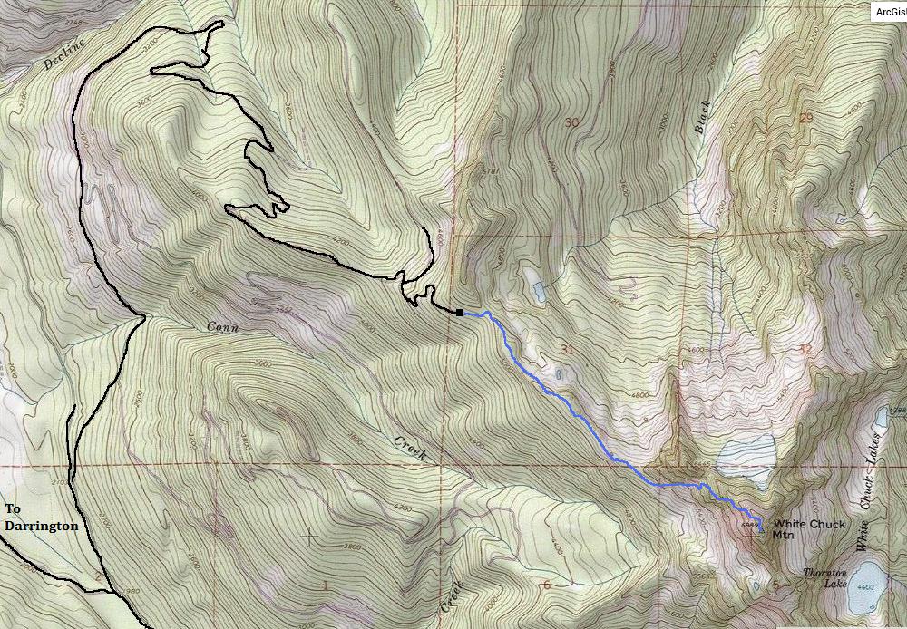
Going north in Darrington on Hwy 530, turn right on Sauk Prairie Road. Follow it for 1.9 miles to a right turn on Dan Creek FSR#24. After 8 miles (and some new logging spurs) is a major intersection, turn left on FR 2430. Follow 2430 looking in a short distance for a right turn on FR 2435. Follow it up 5 miles to the ridge, where the road straddles the ridge. At a final Y intersection, go right and soon find the turn-round and unmarked trailhead. (Best to have a map for this one).
Access:
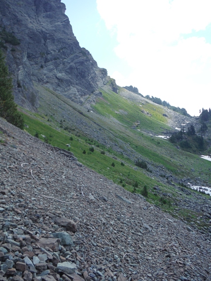
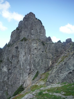
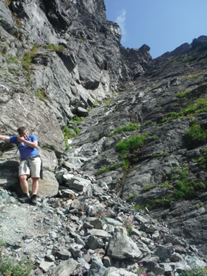
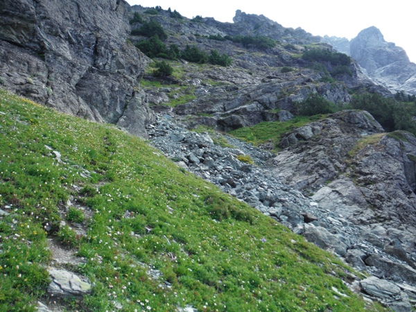
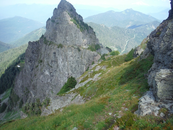
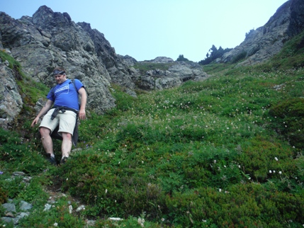
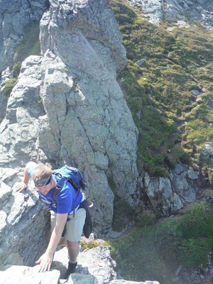
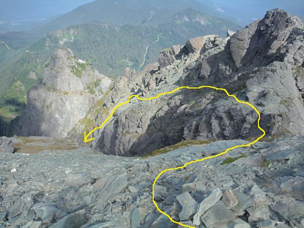
Follow the trail which quickly reaches the ridgeline. The trail winds along the ridgeline in forest and sometimes open terrain with views. Once the trail reaches the main rock uplift of White Chuck, it starts to drop a bit, then emerges out of the forest onto the huge open talus slopes below the west face. The climbers trail will continue dropping a bit to get below cliffs. Then the trail climbs steeply uphill toward the gully between the NW and main summit. Follow this narrowing gully up until you are climbing on slickrock. Look for a climbers trail in steep heather slopes on the right side. Follow the narrow climbers path as it works up the heather slopes to some small trees. The entire route climbing up is on a well defined but narrow climbers trail. At times, the trail is over extremely exposed sections where one slip of the feet would be disastrous. This includes a notorious section of downsloping slabs that must be traversed with loose dirt resting on the slabs (not technical but very nerve-racking, especially going down). Closer to the top, a few different way trails exist, the easiest way being a trail that skirts below cliffs to a final notch, just feet below the top. The notch is downclimbed but easy, with a climbers trail on the other side up to the summit.
Northwest Route
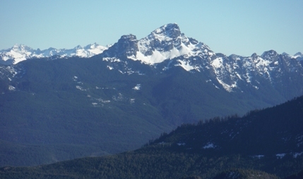
White Chuck Mountain from Higher Squire
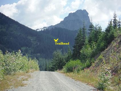
Driving to the trailhead with the peak above
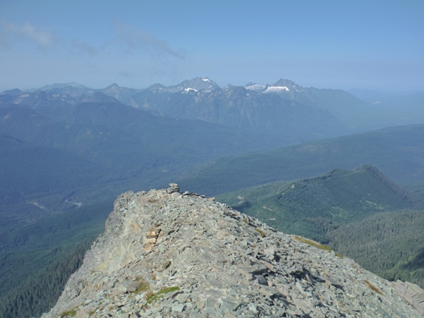
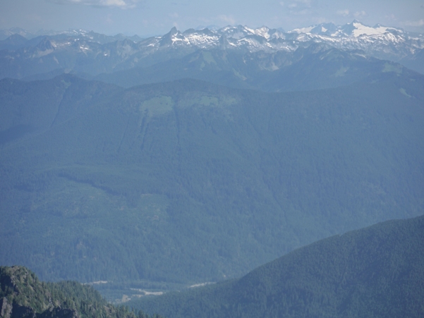
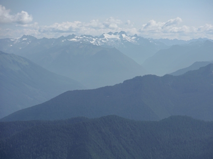
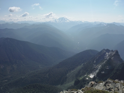
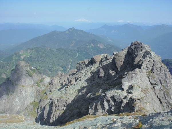
Looking North to Mt. Baker
Eldorado Peak
East to Glacier Peak
Dome Peak
Pugh and Sloan
West to Three Fingers & Whitehorse Mountains
Looking down the route from the summit
At the notch just below the summit
NW Summit
First gully, look for ledges to right a bit further up
Steep heather
Tallus where the approach trail opens up
NW Peak
Rounding the NW peak at the base before the first gulley
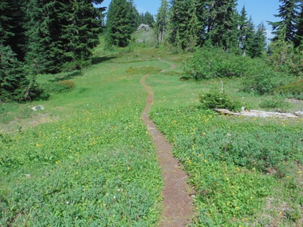
Climbers trail is nice along the ridge
The lookout inventory says there was a cab here in the 1930s. A visiting USGS party in 1950 found nothing. I have not found anything confirming there was a lookout on the summit.
Lookout History


