
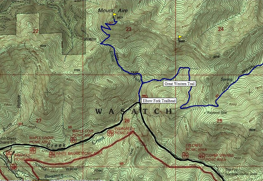
One of the highest points between Mill Creek Canyon and Parleys Canyon is Mount Aire. With a nice short trail to the summit, it makes for a nice morning or evening hike any day of the week. Although the trail climbs steeply at times, it's short enough older kids do well here. The first little bit is part of the Great Western Trail.
Mount Aire
Route:
Access:
On the I-215 Belt Route about 2 miles south of the I-80 Interchange is an exit for 3900 South. Proceed just a few hundred yards to Wasatch Boulevard, the first light. Take a left and head north 1 block north to the light at 3800 South. Take a right on 3800 South and head east through a neighborhood and the canyon. After about 1 mile, is an entrance station where someone will charge you money on your way out. Around 6 miles up the canyon is the Elbow Fork Trailhead on the north side of the road. The road doesn't open to the trailhead until late May.
Follow the trail about 1/4 mile to a junction. The right fork is the Great Western Trail going over a pass into Lambs Canyon. Take the left fork heading northwest to Mt. Aire pass and another trail junction. From here go right, the final bit climbs steeply 820 feet in 3/4 mile to the summit.
www.willhiteweb.com - Hiking, Climbing and Travel
Distance: 2 miles
Elevation Gain: 2,000 feet
Summit Elevations: 8,621 feet
Access: Paved
//-->
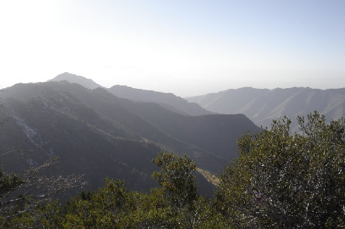
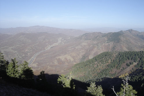
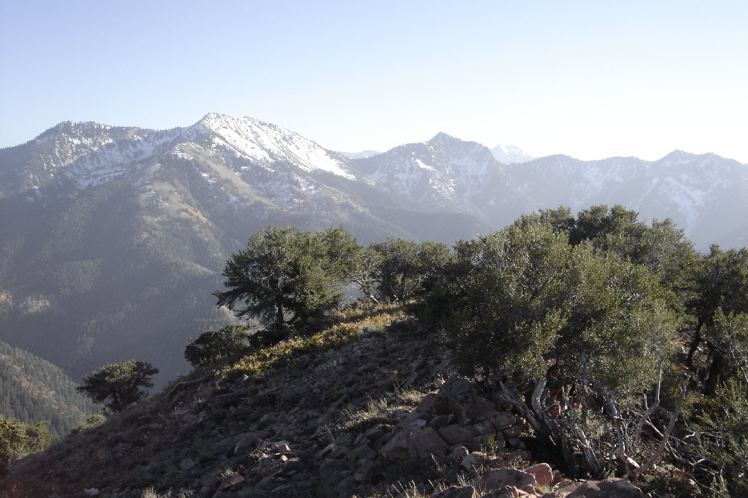
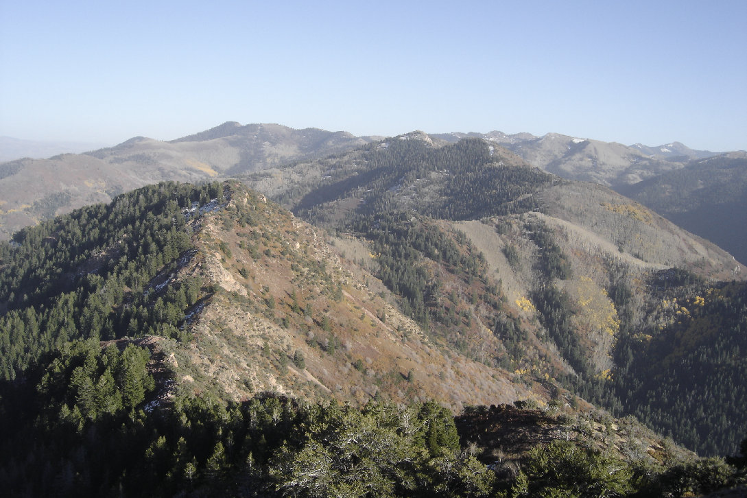
View looking east from the summit of Mount Aire
View south from the summit of Mount Aire to Gobblers Knob and Mount Raymond
View west from the summit with Parleys Canyon (right) and Grandeur Peak (left)
Looking east and the I-80
Mount Aire from the north
>
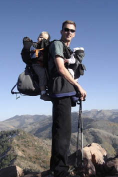
On the summit with my 2 kids
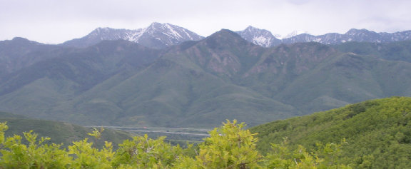
Mount Aire from the north on Little Mountain


