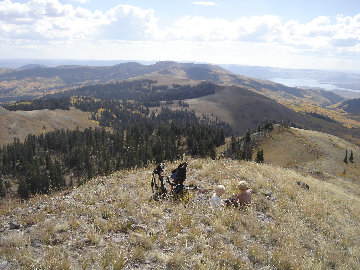

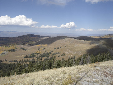
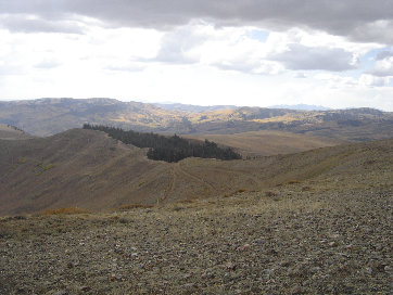
Looking south to Racetrack Benchmark, another p1k peak
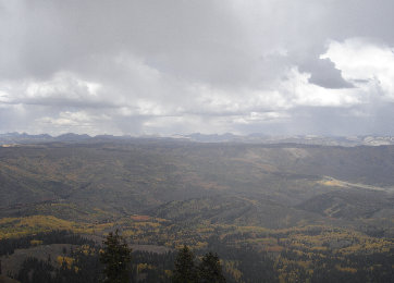
Looking north, Bald Knoll on left (from Currant Creek Peak)
These are two of the largest mountains between highway 35 and Interstate 40 in north-central Utah. Both are worth visiting although Currant Creek Peak is more of a hike while Red Creek Mountain is mainly a drive-up. Fall is particularly nice up here as the aspen groves are changing color. The terrain is not rugged in these parts but the views are unique and endless.
Access:
Currant Creek Peak and Red Creek Mountain
Distance: 1 mile and 0.4 miles
Elevation Gain: 750 and 200 feet
Summit Elevation: 10,554 and 10,595
Access: Gravel, dirt
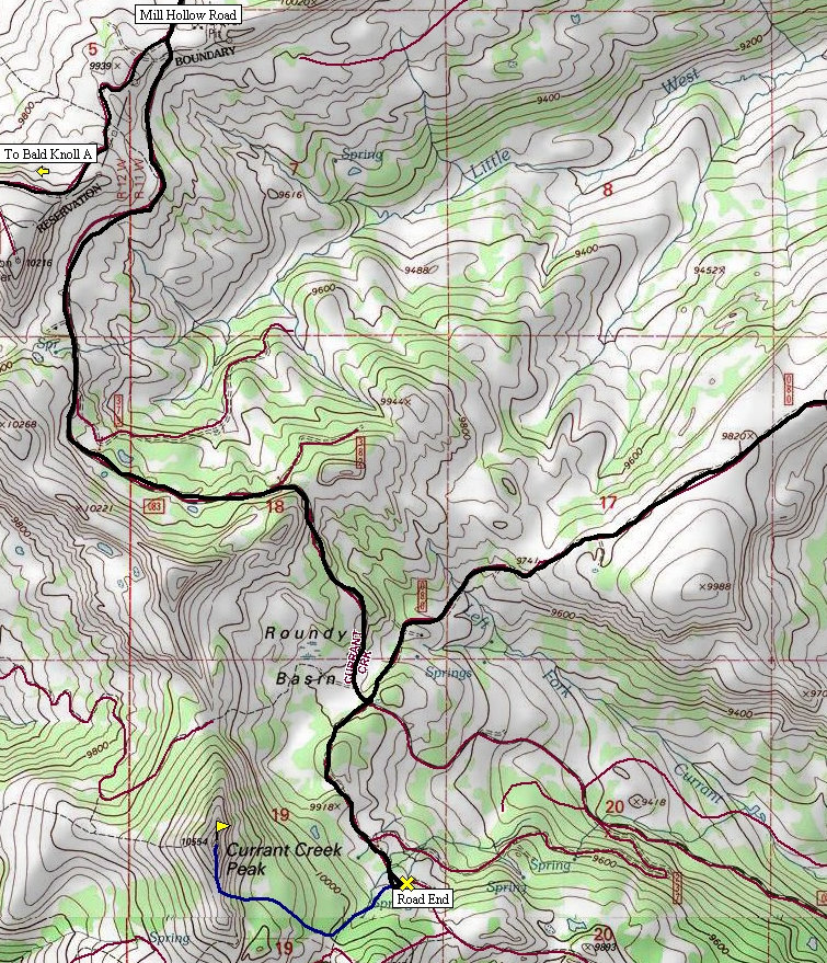
Currant Creek Peak Route:
www.WillhiteWeb.com: Your online resource for hiking, climbing and travel
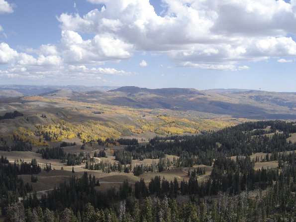
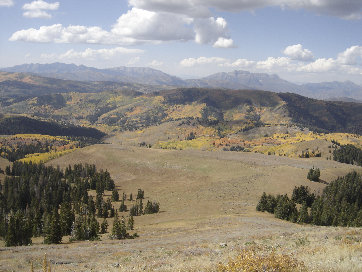
Backside of the Wasatch peaks, Provo, Cascade and Timp.
Currant Creek Peak from Heber Mountain
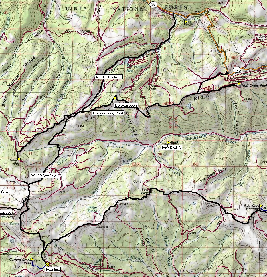
The peak could be ascended from the parking area or from one of the campgrounds to the west below the peak before the road dead-ends. There are several unmarked horse trails all over the area. None go to the summit but at least one goes from the camps to the 10,200 foot gap south of the summit. Others shoot off the ATV trail. My route shown was the easiest route for me carrying 2 kids. Whichever way you choose, all the terrain is easy to find routes up. On top, there is a communication tower of some sort and one heck of a view. Most of the route is in semi-open forests, only the last 100 feet is really exposed to the elements if weather is threatening.
Take Utah Hwy 35 east of the Francis-Kamas area to the Mill Hollow turnoff (Forest Road #054) and follow this road past the reservoir and campground. At the pass, just past the Duchesne Ridge turn-off, the road will drop but continue south toward Roundy Basin. At the major intersection shown on the map, take a right for Currant Creek Peak and a left for Red Creek Mountain. The right traverses below Currant Creek Peak until the road dead-ends. Here there is parking and an ATV trail that takes off southwest.
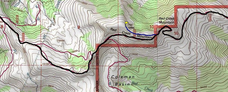
Red Creek Mountain access:
The left will take you on a scenic ridge road traverse to just below the summit of Red Creek Mountain. Use a map to follow along the route but you will know when you get there. The mountain is quite large and the road traverses its south side quite dramatically. Once the road gets to the east side of the mountain, you are at the highest point by road for accessing the summit. I was also able to drive a bit further up its east ridge on a faint spur road. The hike is under a half mile and is obvious. A benchmark will mark the highest point. The entire route is exposed to the weather and treeless. Although the road does continue east of the peak, return the way you came. It deteriorates quickly, eventually crossing private land that I believe is legal to cross but is slow going.
View south east from Currant Creek Peak
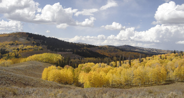
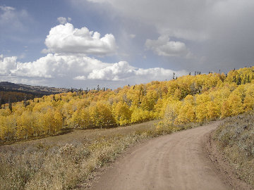
Views from road over to Red Creek Mountain
Views from road over to Red Creek Mountain

Red Creek Mountain from the north
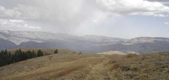
Looking back at my truck parked on the east ridge of Red Creek Mountain
Looking north to the Uinta Mountains from Red Creek Mtn.
Looking east from Red Creek Mountain
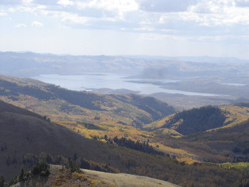
Looking south to Strawberry Reservoir from Currant Creek Pk.


