
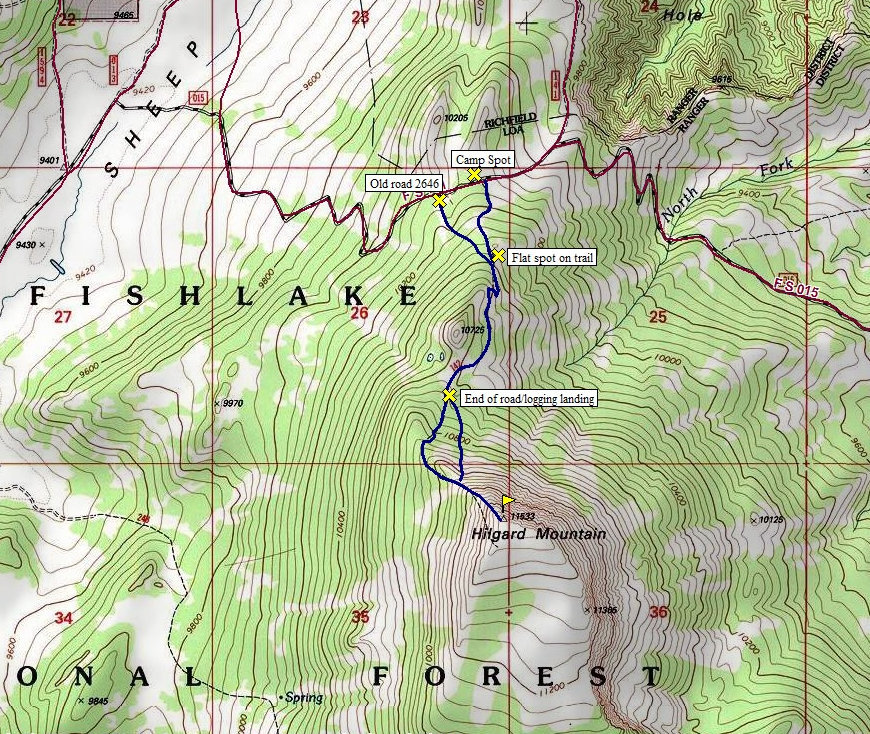
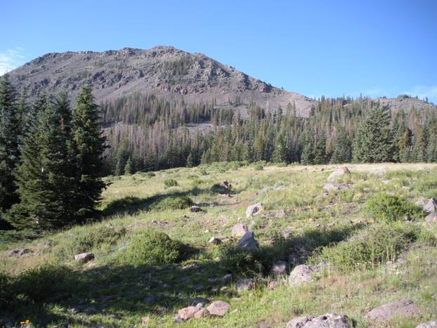
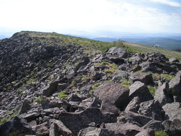
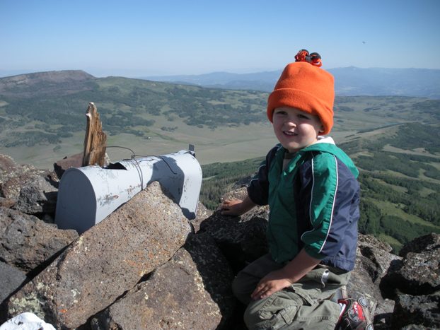
The common route is to follow the old trail which is almost non-existent the first 5 minutes. From the camping area at the roads highest point, walk the road east a few feet down to the open meadow. Follow the meadows edge up the hillside along the trees. At the top of the meadow, you will see an opening in the thick timber/brush to the right. The trail is easy to follow from this point for another 5 minutes until it levels out reaching another meadow. Here the trail fades out but be aware the road (with a trail) is now coming from the west and crosses this meadow higher on the hill. Walk west until you intersect this old road. Follow the road up as it switchbacks twice, then traverses to the base of the main mountain. This road will even drop downhill a bit so don't be surprised. Eventually, it hits a large meadow where you can make out the rest of the route. Follow the road through this meadow as it slowly fades away. Just past where the road building stops is an old logging landing where loggers cables and other debris exists. This is also the edge of a forest that has several logging skid roads extending out in several directions. I went up one but came down another. Both had trails in places but up and down, I lost the trail on each route. The better trail would be in the direction toward the large talus field directly below the summit. This trail seemed most direct. I will show both on the map although I never found a complete trail. Once on the ridge, follow the ridge line on open rock and then boulders to the summit. Someone placed a mailbox for the register.
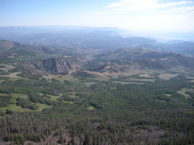
With just over 2,000 feet of prominence, this peak makes it onto the Utah Prominence List. Because the upper portion of the mountain is volcanic rock poking well above tree line, Hilgard Mountain has a bit of alpine feel and a mega view in most directions, especially to the east.
Distance: 1.5 miles one-way
Elevation Gain: 1,400 feet
Summit Elevation: 11,533 feet
Kid Difficulty Rating: Hard
Access: Ok gravel roads
Hilgard Mountain
WillhiteWeb.com
Access:
Route:


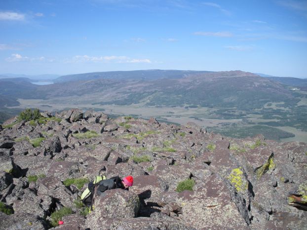
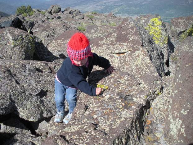
Here is my almost 2 year old girl working across the summit rocks
Hilgard on approach from Fish Lake
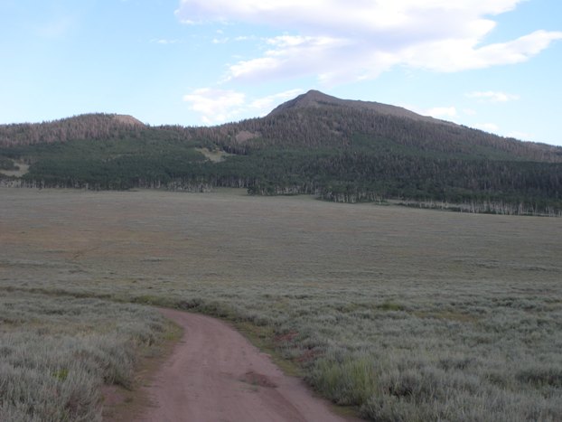
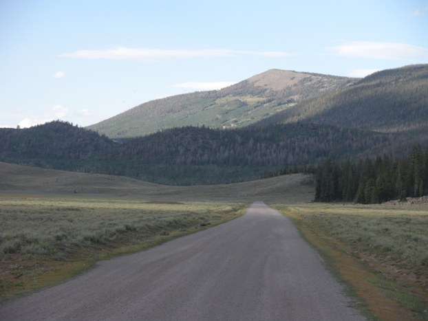
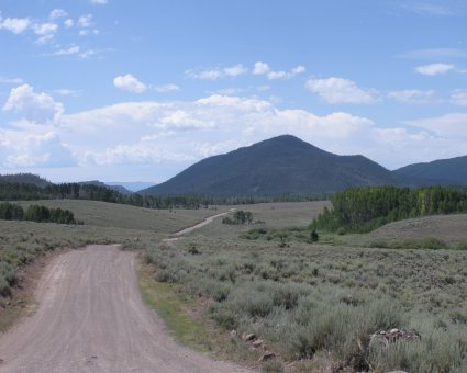
Hilgard Mountain from the FS 015 turn-off
From the meadow, just below the logging area
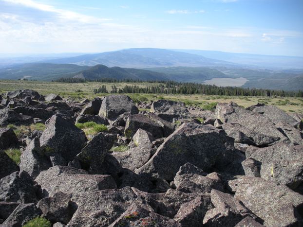
Looking north with San Rafael Swell on right
Looking south to Boulder Mountain (Bluebell Knob)
Looking west to Fish Lake Hightop and Fish Lake on left
Boulderfield on Hilgard Mountain
Summit register
Looking east from the summit
From Highway 25 along Fish Lake, continue north until you hit Johnson Reservoir. Take a right on it's north shore as the road now becomes Fremont River Road. Follow this just over 2 miles looking for a signed left turn that says UM Creek. Turn left on this dirt road switchbacking up at first then shooting north through Water Valley. Follow the road 5.4 miles from the pavement to a Y. Go right to signed Sheep Valley. At 7.9 miles from the pavement is a right turn FS 015 (intersection has several signs). You will also have been staring at Hilgard Mountain on your right the last few miles. Follow FS 015 as it switchbacks up to a ridge on a north ridgeline of Hilgard. This road is a bit rough but a careful driver could get a passenger car up. At the ridge top is a campsite on the left just before the road steeply drops down east and the trees open up to a very long view east. Most start from here. Another starting point is in the meadow just before the ridge top. In this meadow is a old road marked 2646. This "walking" road is also a trail and you could just park there (I'll explain in the route). A quick access off I-70 is also an option, going south on highway 72 for around 11 miles to the turnoff for FS 015. This will bring you to the same trailhead but the last 2 miles of FS 015 on this side is said to be quite rough, high clearance 4WD required.
Hilgard from Fish Lake Hightop Plateau

San Rafael Swell


