Scott Hill & Tri-County Peak
Distance: 1.5 miles for Scott Hill
Elevation Gain: 956 feet
Summit Elevation: 10,116 feet
Kid difficulty rating: Moderate
Access: Paved
Utah Hiking & Climbing
Access:
Route:
This peak is between Brighton and Park City ski areas. It has excellent views and you'll have cell service if you need it. This is a popular area so you will have lots of others around if you are new at hiking with the kids and want that comfort. The elevation is high so it can be a bit cold here in fall weather.
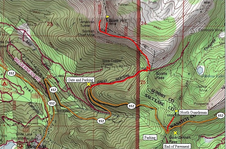
The trail is on a gated road that is very popular with mountainbikers so keep the youngest close. Start up the trail/road in a nice shaded forest until reaching Scotts Pass. Take the left road which switchbacks a few times leading you up to the ridgecrest. Scott Hill is the highpoint on the ridge. Hike the ridgeline or traverse the road and go directly up. This is a short distance of off trail but brush is minimal.
Drive up Big Cottonwood Canyon turning left on Highway 152 just before the Brighton Ski area. At the last switchback before the pass, look for signs, a gated road and toilet facility. The parking for Scott Hill can be crowded on weekends and most cars park off the highway instead of the dirt area. For Tri-County Peak, park at Guardsman Pass and walk up on a old motorcycle trail to the top. 10-20 minutes
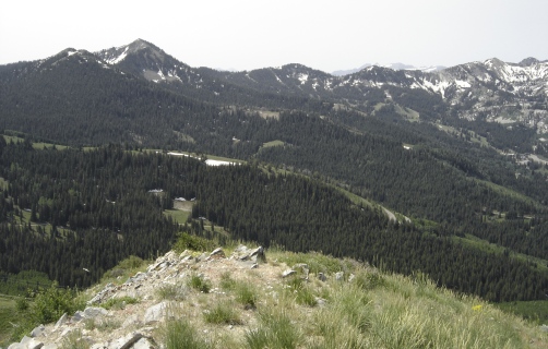
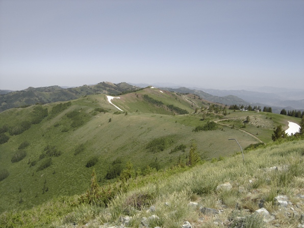
Looking north from the top of Scott Hill
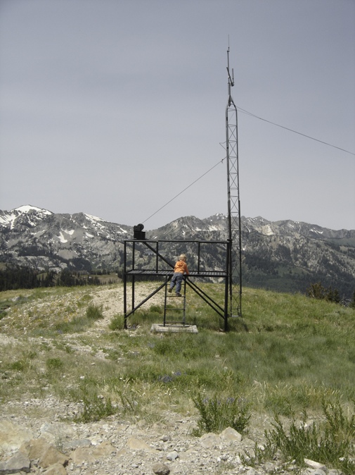
Some equipment on top of Tri-County Peak
Clayton Peak, looking south from Scott Hill
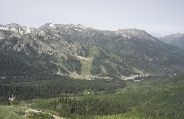
Looking SW to Solitude Ski area
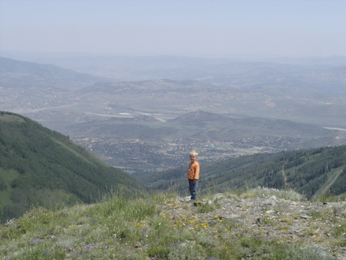
Looking down at Park City
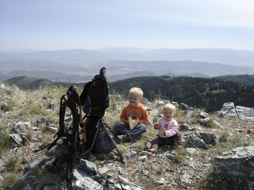
Kids on top of Tri-County Peak
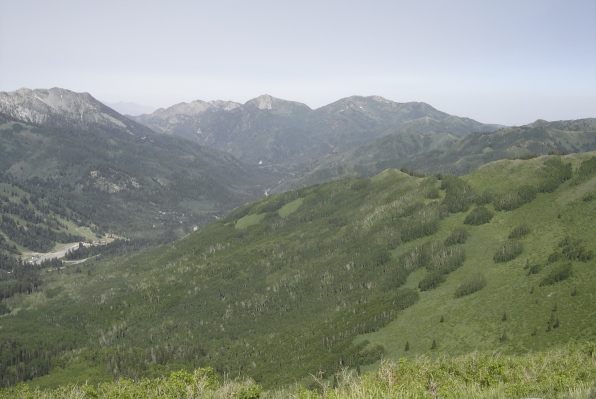
West down Big Cottonwood Canyon, Kessler, Raymond and Gobblers Knob in distance
View on the way up near the beginning
