Bogachiel Peak
WillhiteWeb.com
Elevation: 5,474 feet
Hiking Distance: 8.5 miles one-way
Elevation Gain: 3,700 feet
Access: Paved road
Access & Route
Follow the Sol Duc Hot Springs Road to the end 2 miles past the hot springs. There is a entrance fee station at the beginning of the road (if open). Hike to Sol Duc Falls, then follow signs to Deer Lake. From the lake, 4 mile in, continue another 4 miles to the ridge just feet below the summit. Take a scramble trail to the top just before the ridge or wrap around the summit on the main trail and take the horse trail to the summit. Trees block much of the view now and better views are along the trail.
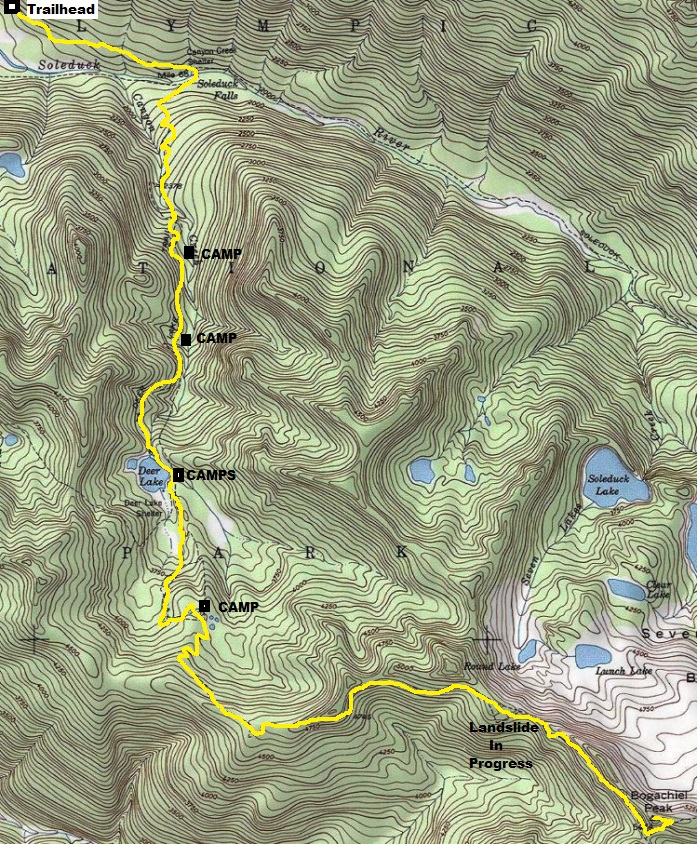
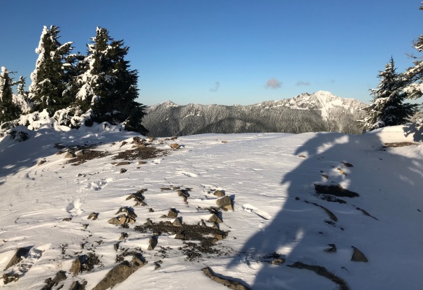
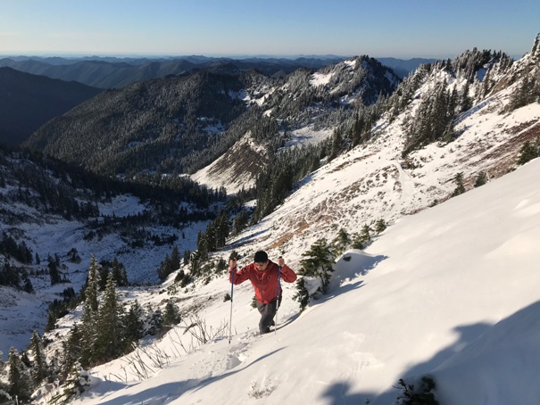
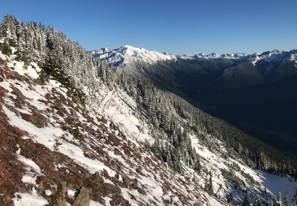
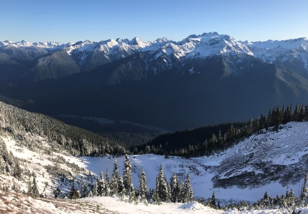
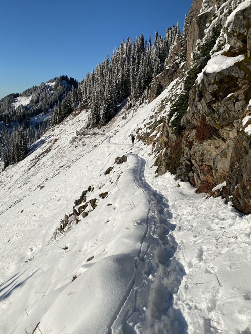
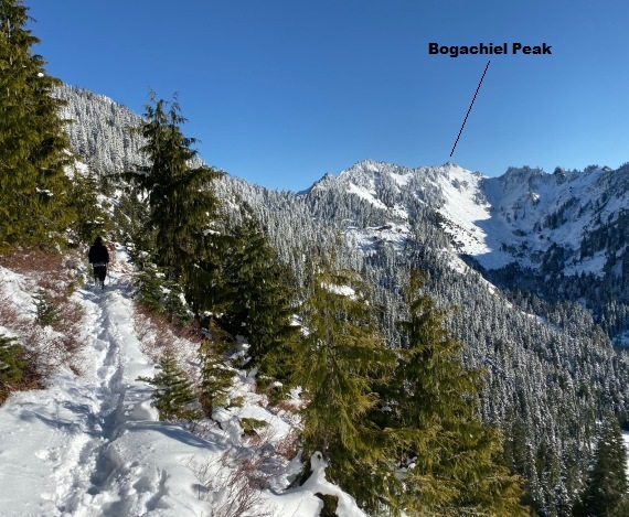
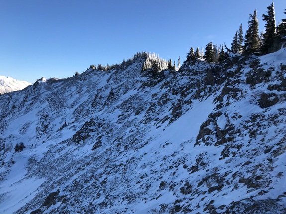
The last few miles to Bogachiel Peak
Looking over to Mt. Olympus from the trail just below the summit
Looking down High Divide from the summit
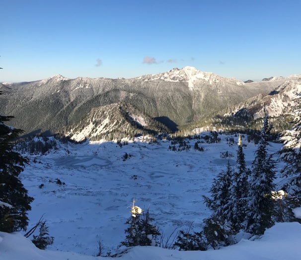
7 Lakes Basin from the trail in route to the summit
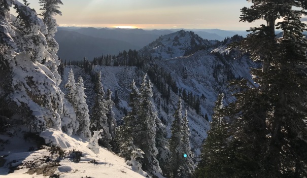
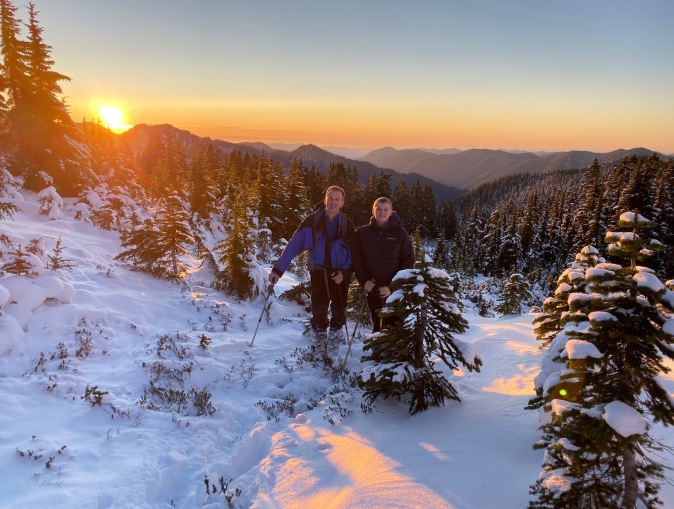
Sunset from the trail above Deer Lake
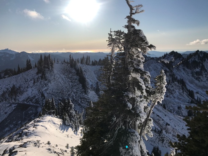
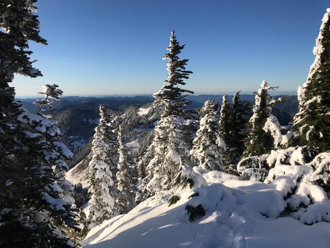
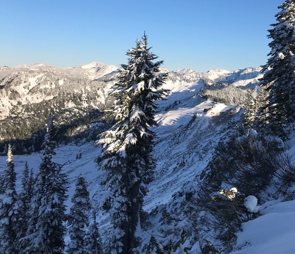
The trail after a big snowfall
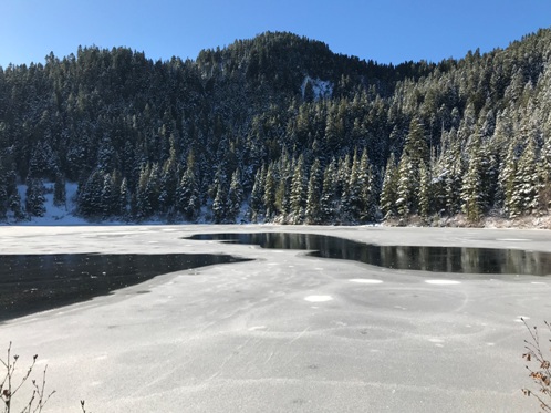
Deer Lake
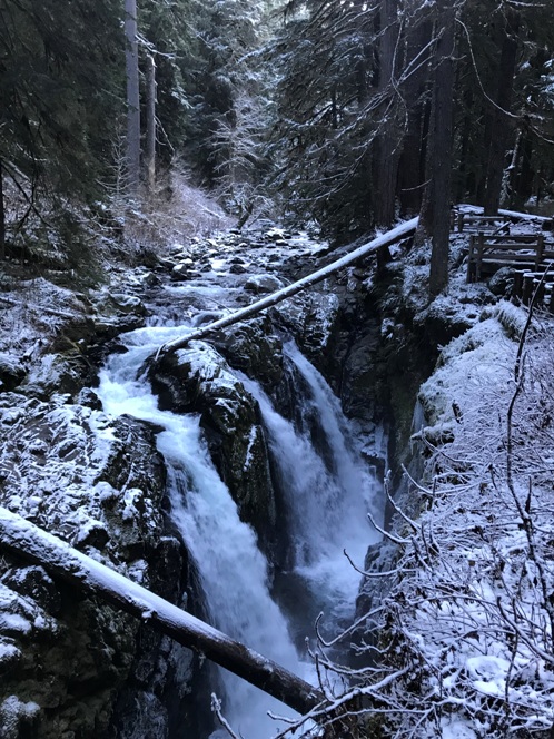
Sol Duc Falls
Lookout site on November 29, 2019
From the summit the sun reflecting off the Pacific Ocean
Upper Hoh River Valley
Nearing the summit of Bogachiel Peak
The highest point along the famous 20 mile High Divide loop is a very short side trail up Bogachiel Peak. The views are not any better at the summit than the trail but it is worth claiming the summit since you are 99 percent the way.
