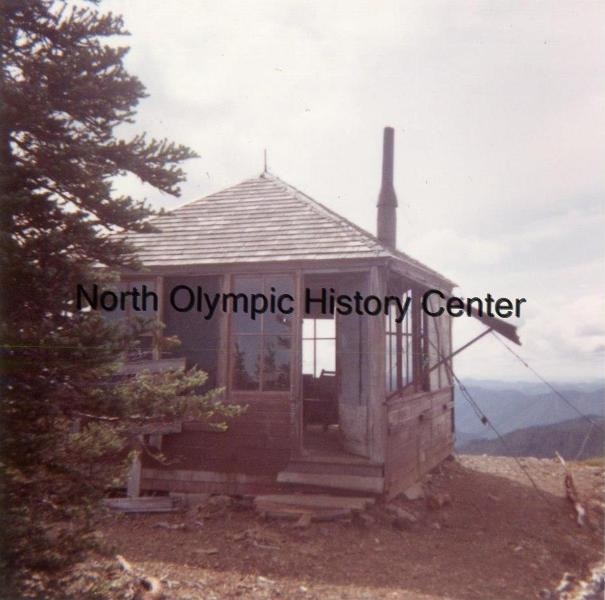
Bogachiel Peak Lookout Site
The dominant lookout site for this area of the Olympic Mountains was Bogachiel Peak. It seems preparations for the lookout began with the Forest Service years before anything got built, and prior to the National Park. An article on March 7, 1921 said that there were plans to immediately develop a new lookout on Bogachiel Peak, and that the Forest Service will also take up the building of a new trail up the Bogachiel River so as to enable a crew to be on hand in case of emergency, and will extend the trail from the Solduc Hot Springs to Olympic ranger station, started the previous year. A few years later in September of 1923, a news article said, In order to establish a fire lookout station on Bogachiel Peak a trail had to be made up the mountain at an expense of $500 per mile.
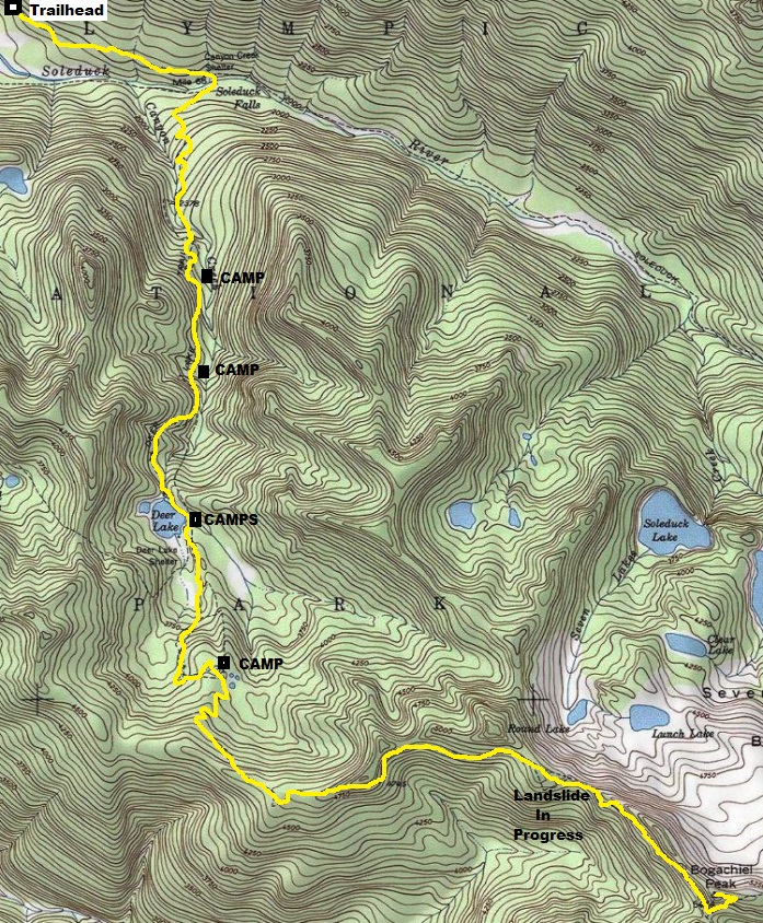
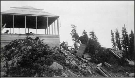
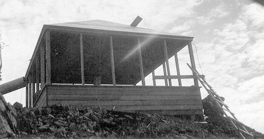
In 1933, the Forest Service purchased the major portion of the material necessary for a lookout to be built according to their Standard Plan 'C' for 14' x 14' Lookout Houses, and transported this material 6 miles by packhorse to a shelter at Deer Lake which was then boarded up for the winter. In 1934, the National Park Service took over construction of the shelter. Supplies and camping essentials for a small crew were transported the eleven miles by trail from the end of the road at Soleduck Hot Springs, to Bogachiel Peak. This crew on September 4, 1934, started leveling off the top of the rocky peak and excavating for foundations. Meanwhile the materials stored at Deer Lake were transported the additional 4 1/2 miles by trail to Bogachiel Peak. Construction work continued in 1934 until October 8, when the advent of winter precluded further operations.
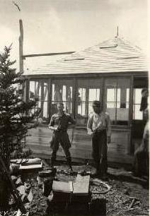
When trails were again clear of snow on July 8, 1935, construction was resumed and the building was completed on September 10, 1935. This project necessitated the transportation of materials and supplies 42 miles by truck, and 11 miles by trail. Excavation was entirely in rock, and included the grading off of four feet of the top of the peak. Materials purchased by the National Park Service included those destroyed from the Forest Service cache by campers who broke in and used a portion of the materials for firewood, as well as providing powder and caps, paint, hardware, and lightning protection material. One flame range, heater and light were installed as equipment."
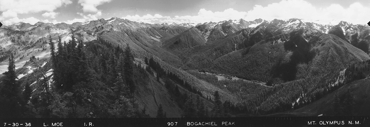
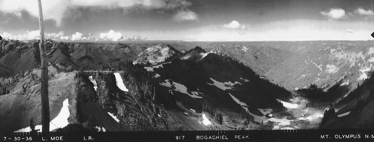
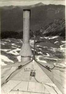
Just before construction was finished, panoramic images were taken from the roof on July 30, 1936.
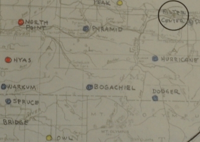
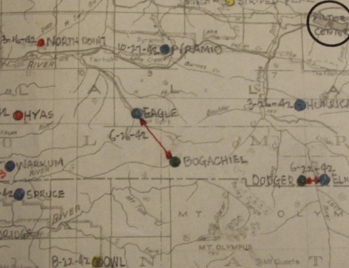
On June 26, 1942, the site was activated for use as an Aircraft Warning Service Station during summers only. The AWS didnít add any structures during its use.
The lookout was abandoned in the 1950s.
WillhiteWeb.com
Elevation: 5,474 feet
Hiking Distance: 8.5 miles
Elevation Gain: 3,700 feet
Access: Paved Road
In 1950 a young couple, Bill and Mary Jane Brockman, spent their honeymoon at Bogachiel Peak Lookout. The Park Service lent them a horse to pack in their supplies, with the advice that when they unloaded, they had only to let the hrlorse go and it would find its way home. As they plodded up the Sol Duc Valley it began to rain, and by the time they reached the lookout, it was snowing and blowing. The coupe opened the building, unpacked the horse, and as instructed gave it a slap to send it on its way. The horse just stood there. When they went inside, it came and peered forlornly through the window. Snow was sticking to its mane and its back and the couple were afraid the woebegone creature would die of exposure. They brought it inside their 10 by 10 foot house for the night.
Story from the book Lookouts: Firewatchers of the Cascades and Olympics
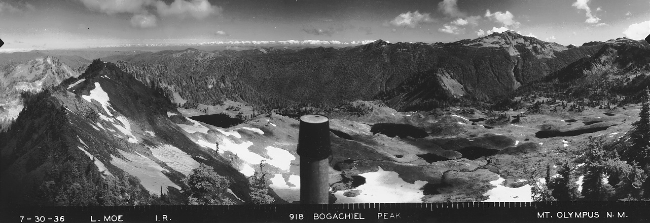
View North 7/30/1936
View Southeast 7/30/1936
View Southwest 7/30/1936


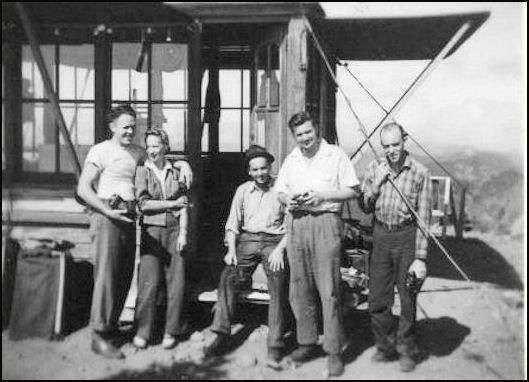
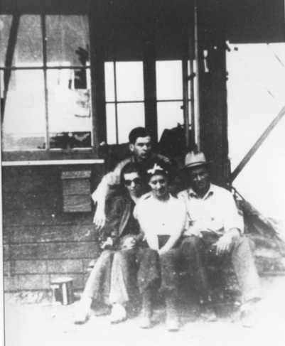

Caption says: John & Kay Flatterty, Morgan Ruth & Sister, photo by Maynard Fields 1935
Date unknown
Group at the lookout
Lookout construction
September 1935
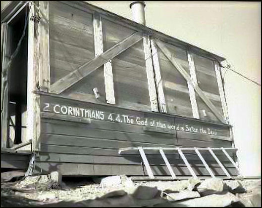
Lightning Protection 1935
Lookout under construction in 1935
Looking over to Mt. Olympus from the trail just below the summit
Looking down High Divide from the summit
AWS stations in the Olympics
AWS maps showing Bogachiel
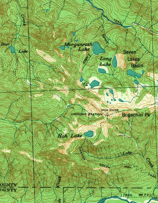
1939 USGS shows lookout and numerous trails accessing the location
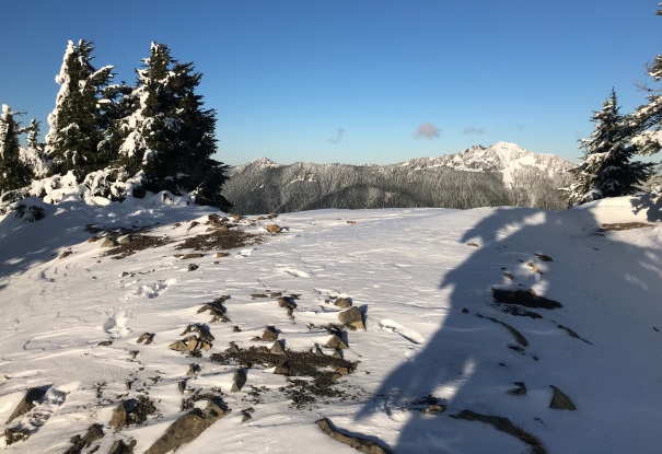
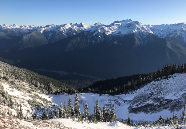
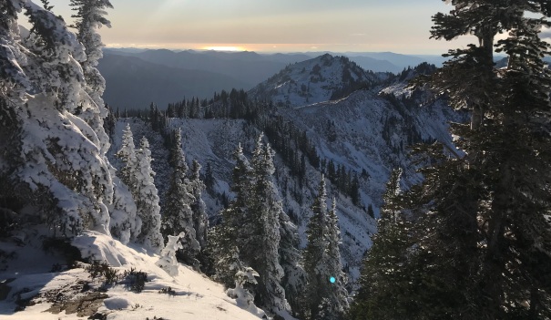
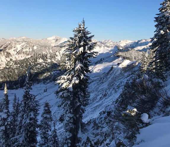
Lookout site on November 29, 2019
From the summit the sun reflecting off the Pacific Ocean
