Devils Dome Loop - Jackita Ridge
WillhiteWeb.com
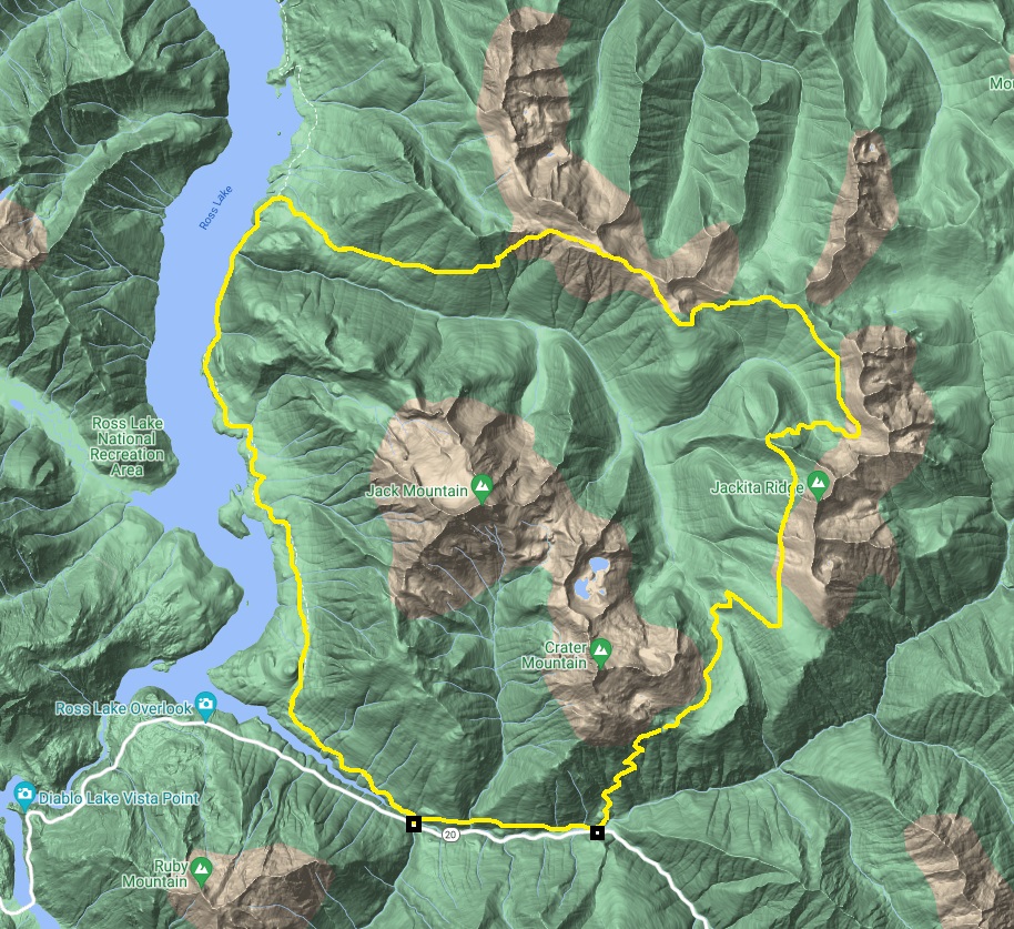
Hiking Distance: 42 miles
This is a popular loop in the North Cascades. Most take three or four days to do the hike but two days is plenty if you are a strong hiker. Permits are not needed on the east half of the loop so if you avoid camping along Ross Lake, you can do the trip on a whim without having to deal with the National Park racketeers, I mean rangers. There is plenty of information online and in books. Here are my pictures of the trail. There is a separate link on the page to my Devils Dome pictures and my side trips.

See images from:
See the images from the Ross Lake section:
See images from:
See images from :

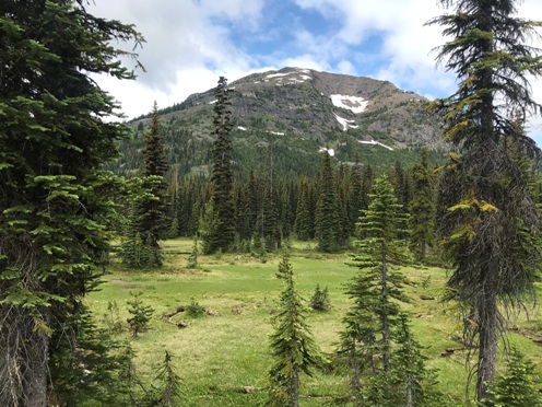
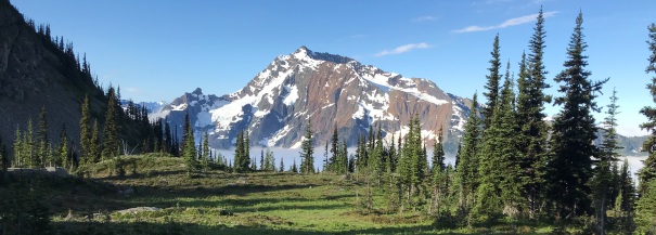
From Devils Park, looking back at McMillan Park and Crater Mountain on the right. The trail comes over the broad saddle shoulder of Crater.
Point 7248 in Devils Park
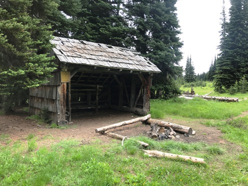
Devils Park Shelter
Devils Park
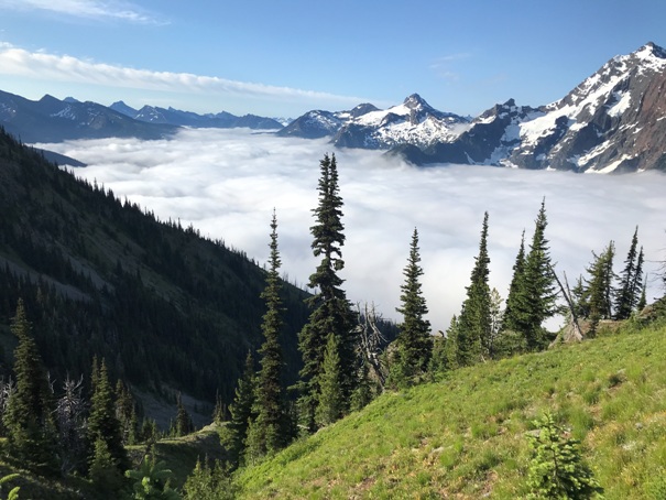
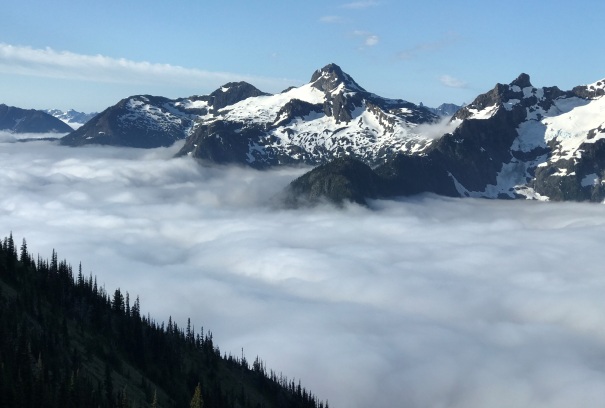
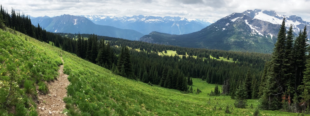
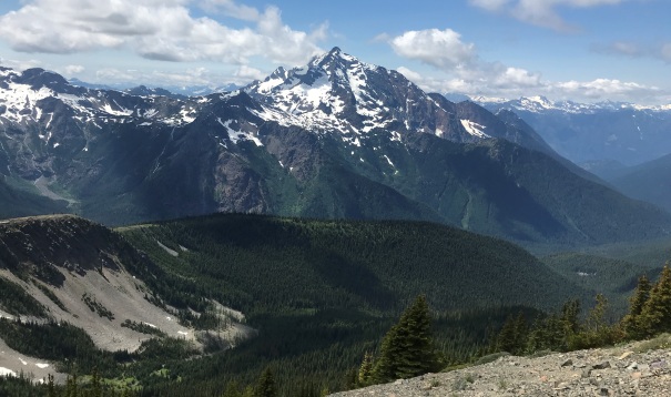
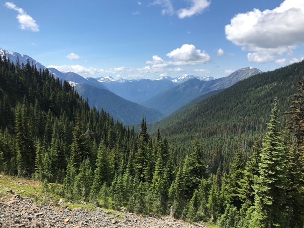
From the trail highpoint on Jackita Ridge, this is the view north. The loop skirts all these mountains from the far right to the far left.
Looking back at Jackita Ridge in route to Devils Pass
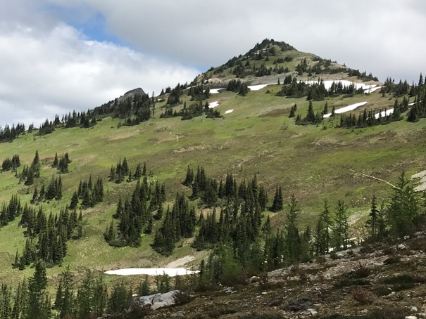
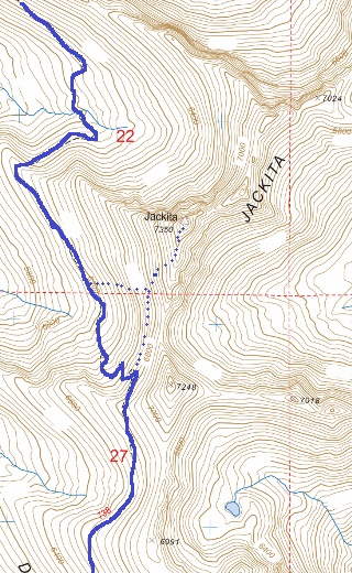
From highpoint on trail, looking to the summit of Jackita Ridge
Devils Creek Valley
Near Devils Pass
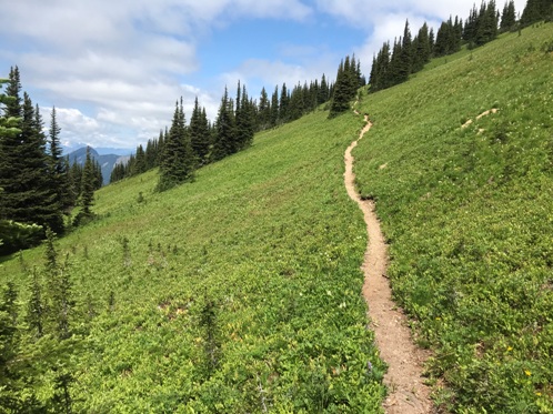
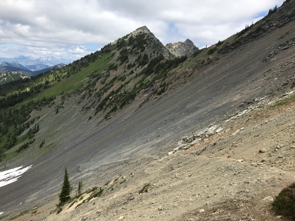
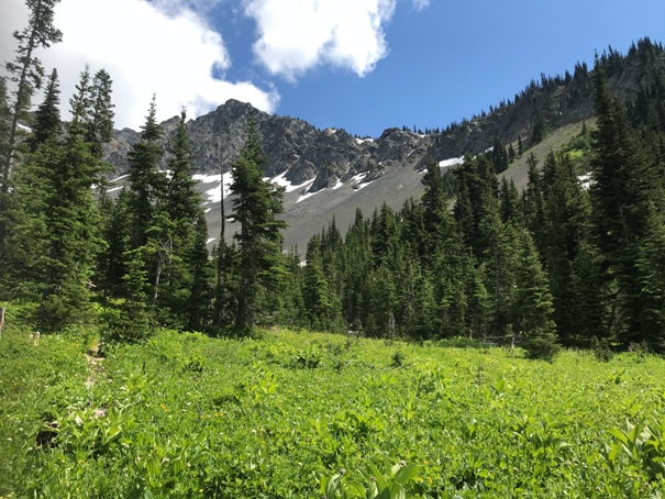
Hiking under Jackita Ridge
Jack Mountain
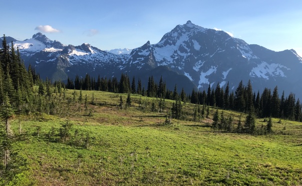
Crater and Jack Mountains
Crater Mountain
Jack Mountain
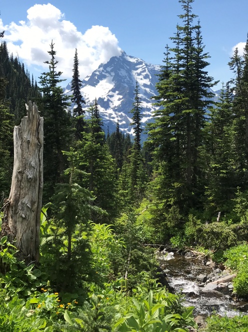
Jack Mountain from west of Devils Dome
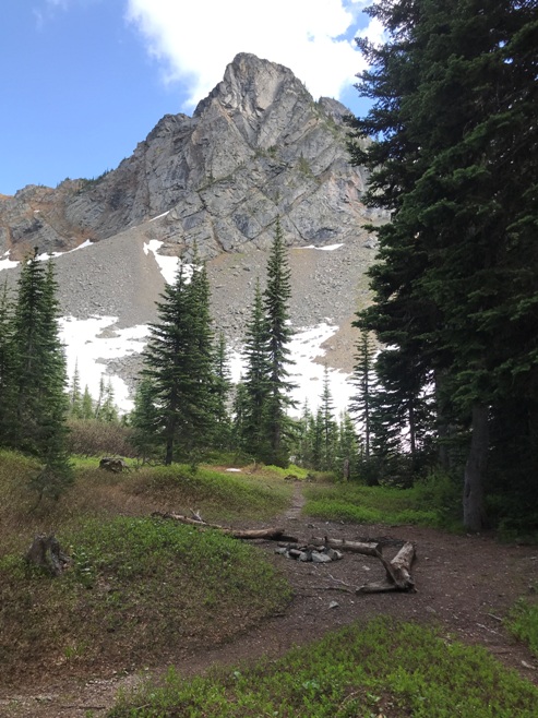
A camp under Jackita Ridge
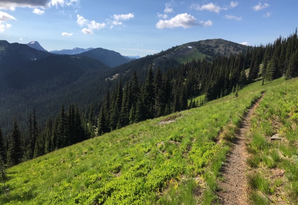
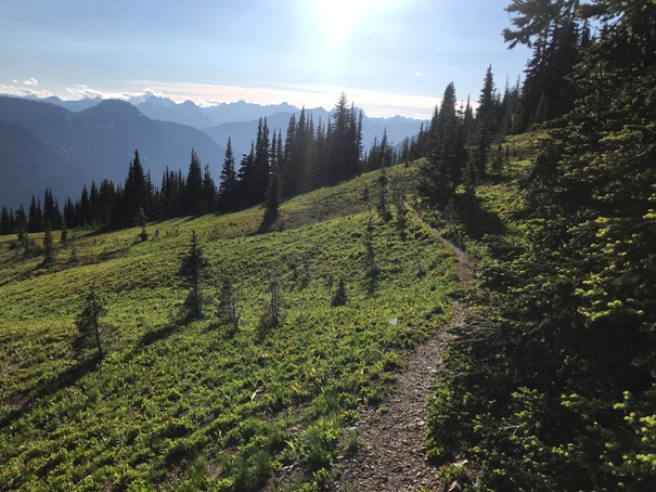
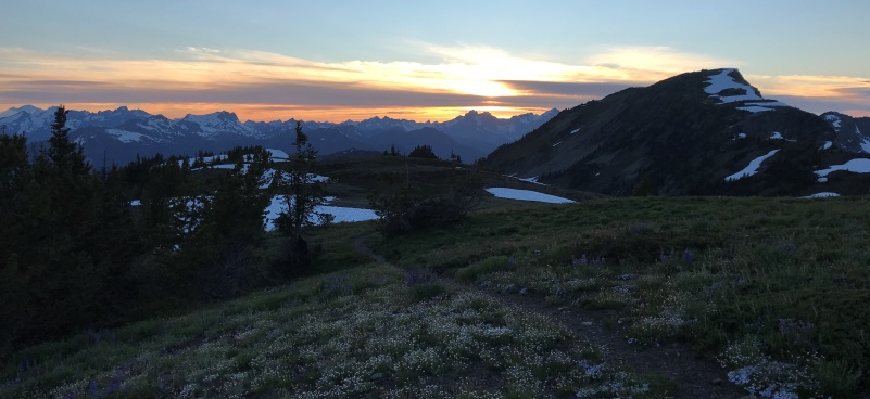
Hiking west toward Devils Dome
Anacortes Crossing above
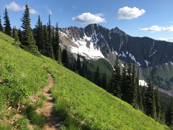
Trail crossing the shoulder of East Crater Mountain


