
Devils Dome Patrol Point
(Blonde Bear Mountain)
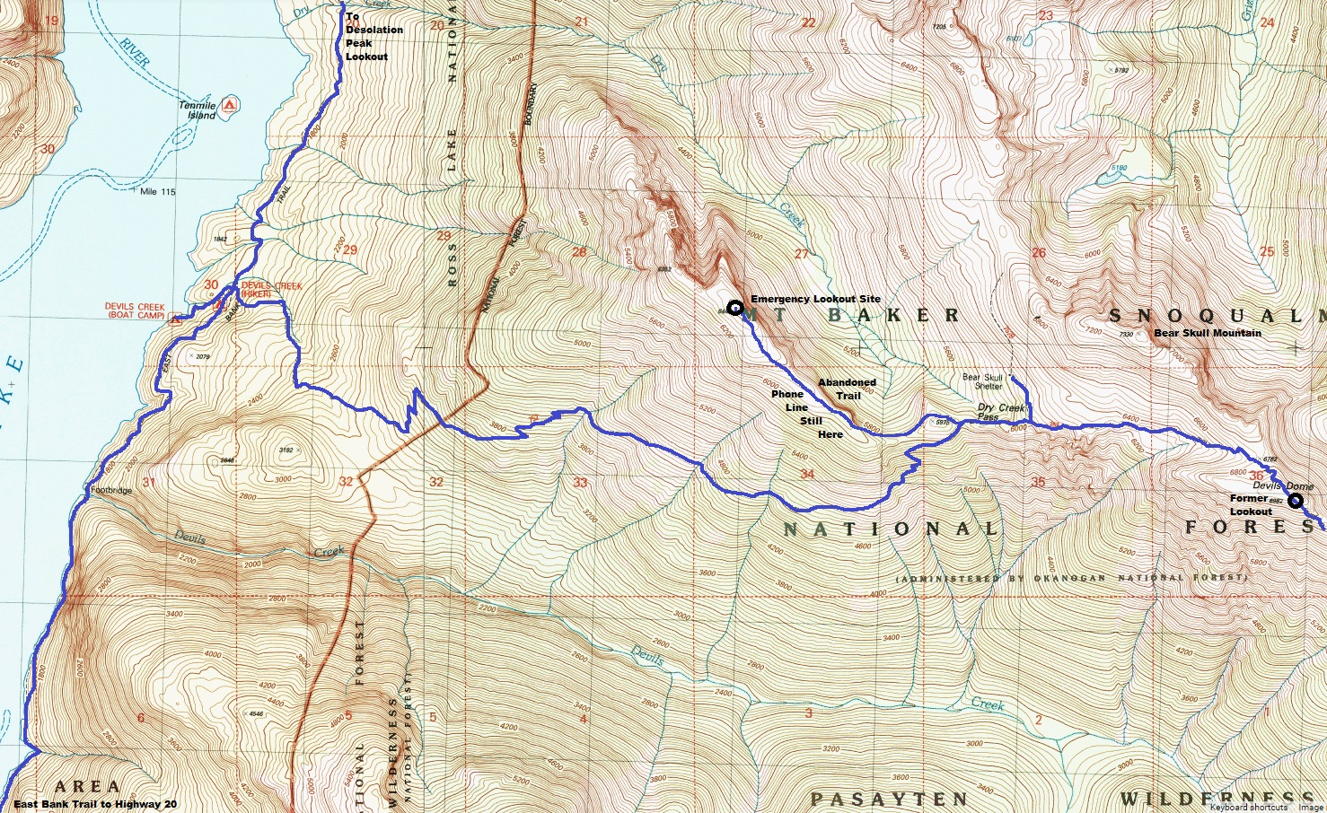
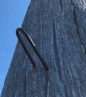
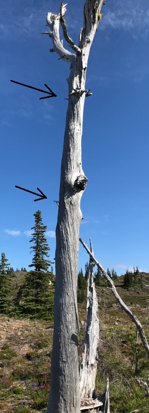
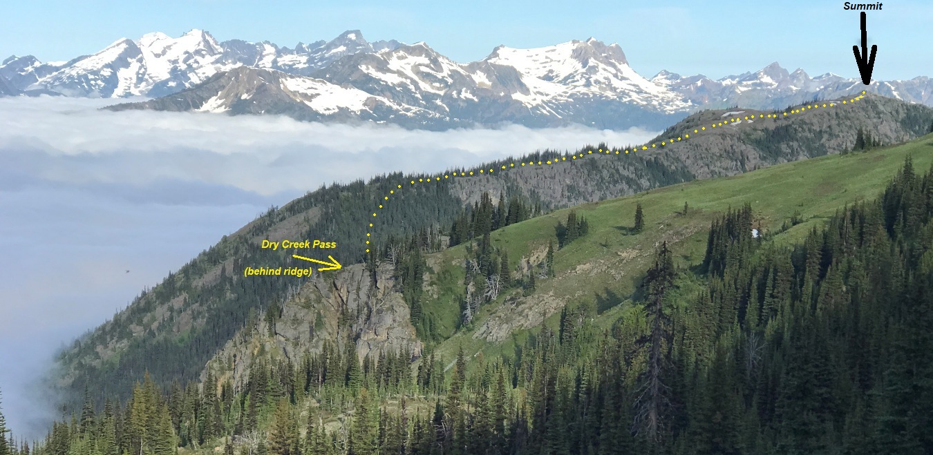
Located just inside the Pasayten Wilderness, this mountain is easily accessible when hiking the Devils Dome Loop. But, given how far back from the nearest trailhead, it will not come easy. It was reported to me that a phone line was found near the summit. During my visit, I was able to follow the phone line (for the most part), from the Devils Dome Trail, all the way to the summit, a distance of over a mile. There was also an abandoned trail the entire route. The trail was professionally built years ago and it is not a climbers trail. This patrol point site could have had a camp but I found no evidence of one. The phone line makes sense either way since the distance from the Devils Dome lookout cab would have been significant if a fire needed to be reported.
WillhiteWeb.com
The Name:
It is currently unknown what this site was called or if it truly was a patrol point for Devils Dome Lookout. The name Blonde Bear Mountain is not official but used by peakbaggers. Nearby Little Jack Mountain (7 miles south) was a similar site, a camp that was unknown until I found a 1931 trip report mentioning a fire camp in a Mountaineers Journal. Hopefully, some information will be found about this location in the future.
Access:
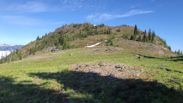
The Devils Dome trail climbs up from Ross Lake over 4,000 feet to Dry Creek Pass. At the pass, the trail continues east on the ridge. A minor trail goes west up and over point 5,975 and then on the north side of the ridge for awhile before straddling the ridge, then south side of the ridge. With or without the trail, the route is easygoing to the summit.
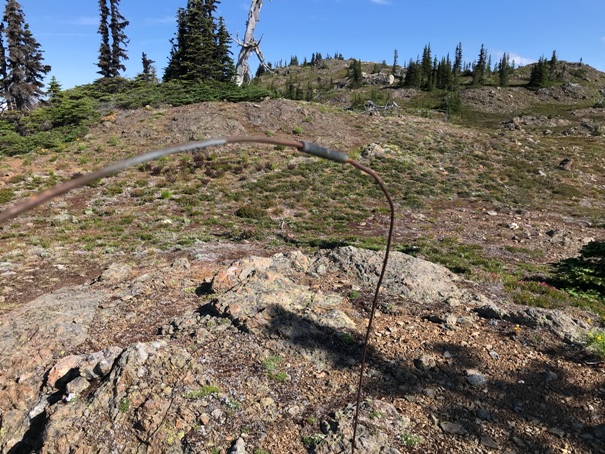
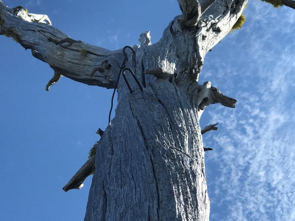
Wire below the summit
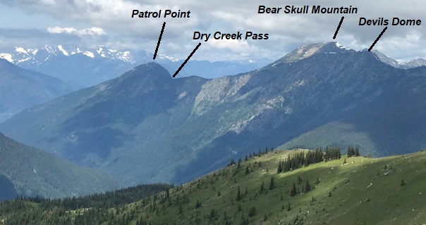
From Devils Dome
From Jackita Ridge Trail
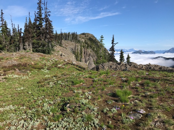
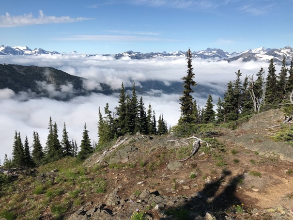
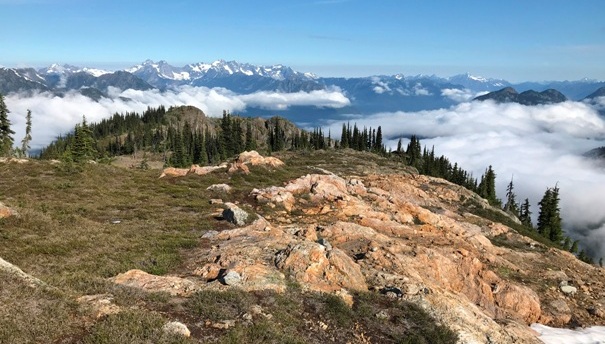
Hiking the ridge
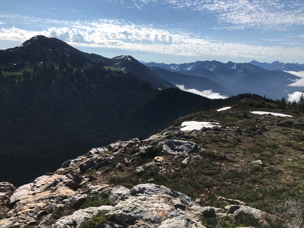
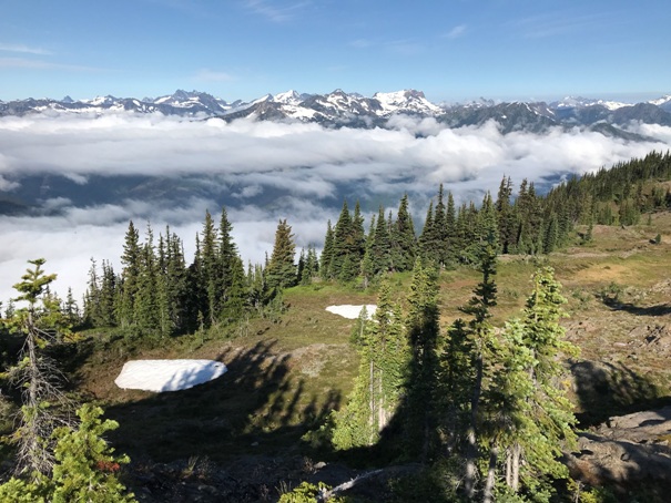
Nearing the summit
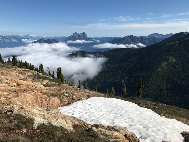
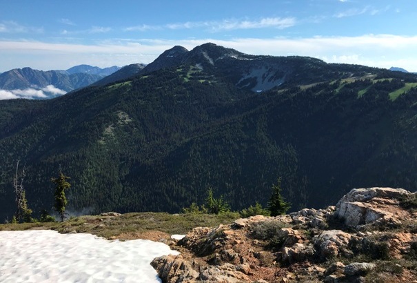
Bear Skull Mountain (left) and Devils Dome (center left) from the patrol point.
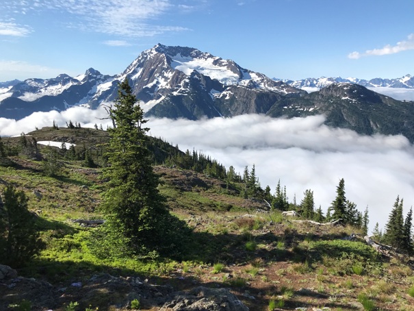
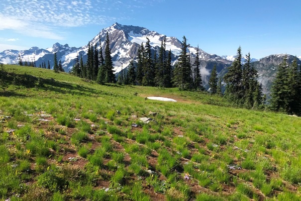
Jack Mountain
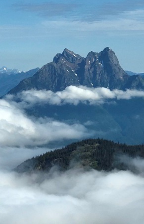
Hozomeen Mountain
Looking north to Hozomeen Mountain and Desolation Peak to its left above the cloud.
Looking Southwest
Looking West
Looking Northwest
Spratt Mountain
Jack Mountain from route up to the patrol point
Wire and staples
Lower hanger
Tree with staples and summit in distance


