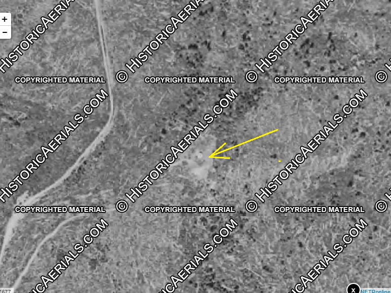
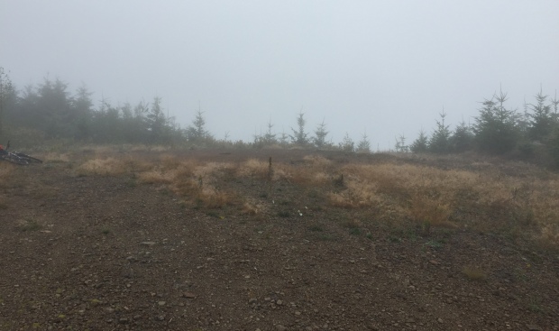
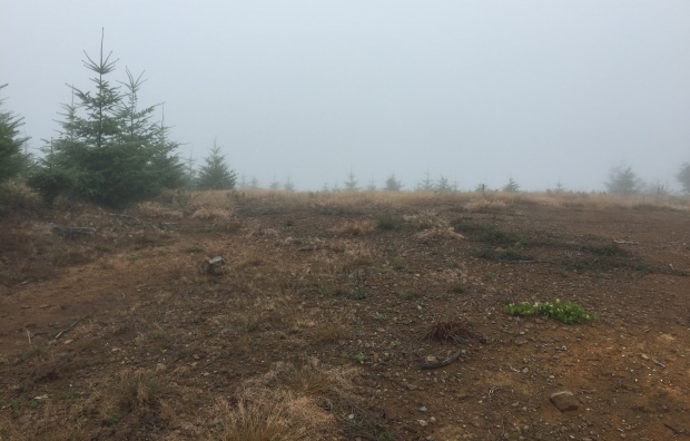
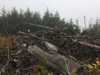
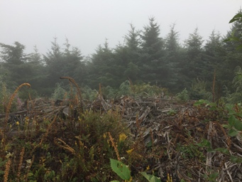
One side of Windy Knob was logged around 1995 and the other around 2010. The summit was used in both cases as a logging landing. Given this history, it is hard to find any remnants although some may exist in the heavy brush surrounding the summit. The 1952 aerial shows the structure right in the middle of the big open summit that is now a truck turn-round.
Elevation: 2,803 feet
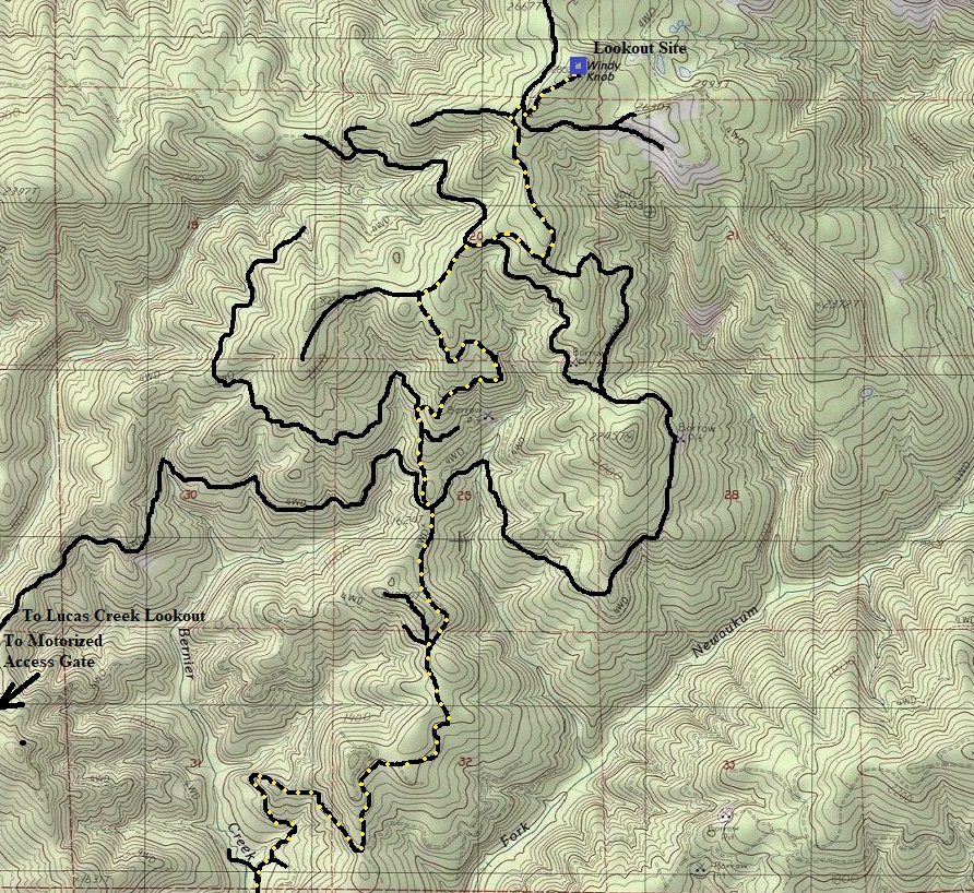
Distance: 6.5 miles one-way (from gate)
Elevation Gain: 2,000 feet (from gate)
Access to gate: Paved
Washington Fire Lookouts
History
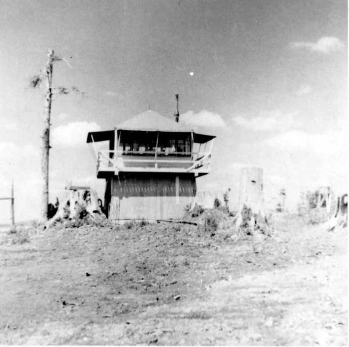
Windy Knob lookout was around in the 1940s. It was two 140 foot spar trees with a platform at the top. Said to be abandoned in the 1950s. There is also a picture of a ground cab on Windy Knob in 1952 from the Ron Kemnow collection but I have no information about when that cab was placed. We do have information of the cab being used in 1952 from some notes in The Daily Chronicle of Centralia.
April 29, 1952: "Harry Williams of the Windy Knob lookout visited Mr. and Mrs. Harvey Turner Monday."
May 22, 1952: "Harvey Turner of Offut Lake stopped at the Turners. His plans are to locate on the Windy Knob lookout."
June 14, 1952: "Harry Williams is now located on Windy Knob. He says he would enjoy having company, provided they let him know in advance so he could have lunch ready."
The USGS party made no mention of it in 1947: The station is on a logged off ridge that is covered with brush, stumps, and a few scattered trees, that lies just west of the Snoqualmie National Forest Boundary.
Access
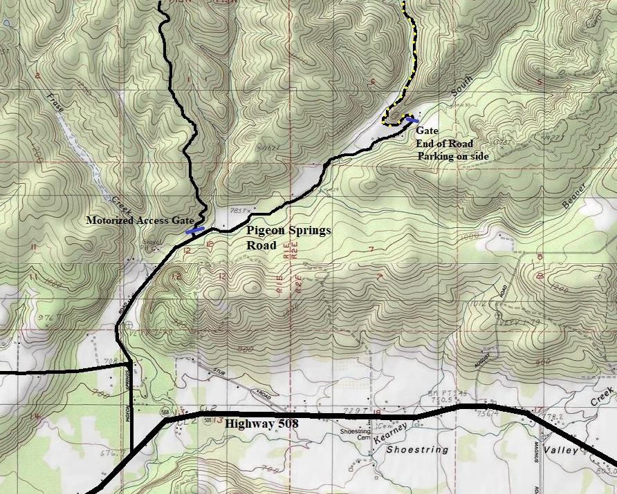
Located inside the Weyerhaeuser Vail Tree Farm, an access permit is needed to legally visit this site. A motorized permit will allow you to drive to the summit. With a non-motorized permit, the closest gate is located at the end of the Pigeon Springs Road. From I-5, take highway 508 east past Onalaska to Centralia/Alpha Road. A short distance further is the Pigeon Springs turn-off. Drive to the end of the road at the Weyerhaeuser Gate. The motorized access gate is a few miles before the end of the road. (A loop of sorts can be made on these roads/gates by bicycle if you include Lucas Creek Lookout).
Windy Knob Lookout Site
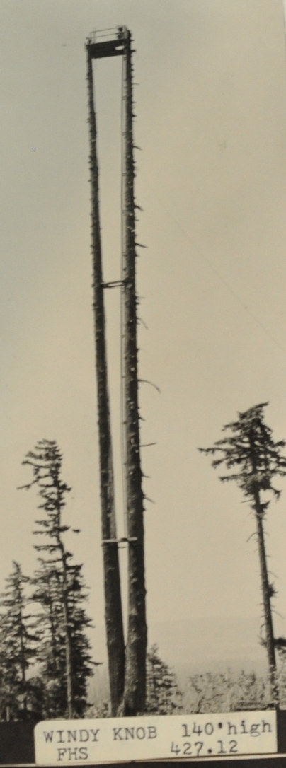
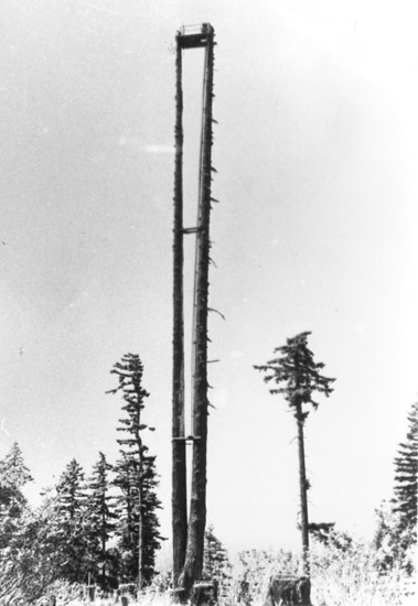
WA Fire Lookout Museum Photo
Summit of Windy Knob
Summit of Windy Knob
Ron Kemnow Collection
1952 Aerial photo of Windy Knob site
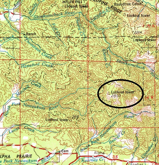
1969 version of the 1958 USGS map showing Windy Knob Lookout
Logging slash on the summit


