Watch Mountain Lookout - Original Site
Elevation: 4640+ (recorded at 4,664) feet
Distance: 3.2 miles
Elevation Gain: 2,500 feet
Access: 4WD recommended for one spot
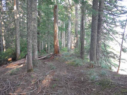
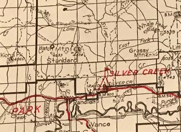
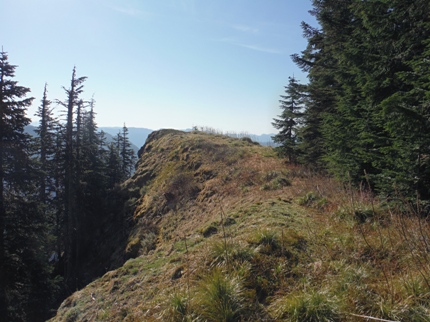
This lookout site remains relatively unchanged from its time of use, which is extremely unusual for such a low elevation site. In particular, the original trees to the west are still the same trees, and the old trail to the lookout along the ridge through the old growth still exists, all though several decades of blowdowns and branches lay on top of it. This site has not been accessible for many, many years and the location is well off the beaten track to anywhere. If the forest service ever allows lookouts to be rebuilt, this would be the perfect spot, out of the way, hidden and semi-accessible.
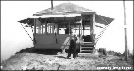
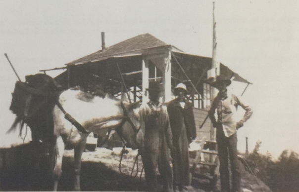
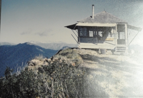
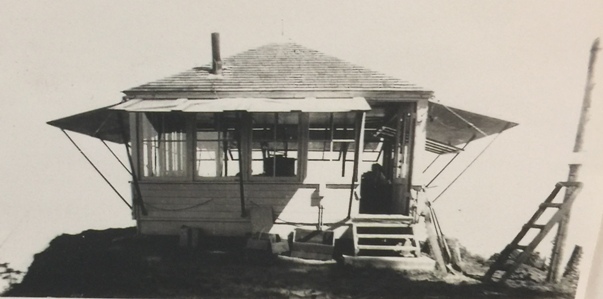
The lookout was built in 1930. It was an L-4 ground cab, 16 x 16 feet. In 1936 panoramic images were taken from the roof at 18 feet above the ground. In 1938, Charles Boyer and Irma Huntington spent their honeymoon here. Charles worked for the Forest Service after graduation and was a lookout on several peaks. (see story below). In 1955, the lookout was James E. Grafton, formerly of Lookout, West Virginia. During his time in 1955, Watch was used by the Ground Observer Corps during the cold war to watch and report airplanes. Reports were made to the Randle headquarters for relay to the Seattle Filter center. In 1963, a new lookout was placed on Watch Mountain 2 air miles away at the far western edge of the ridgeline.
Washington Lookout Sites
Route
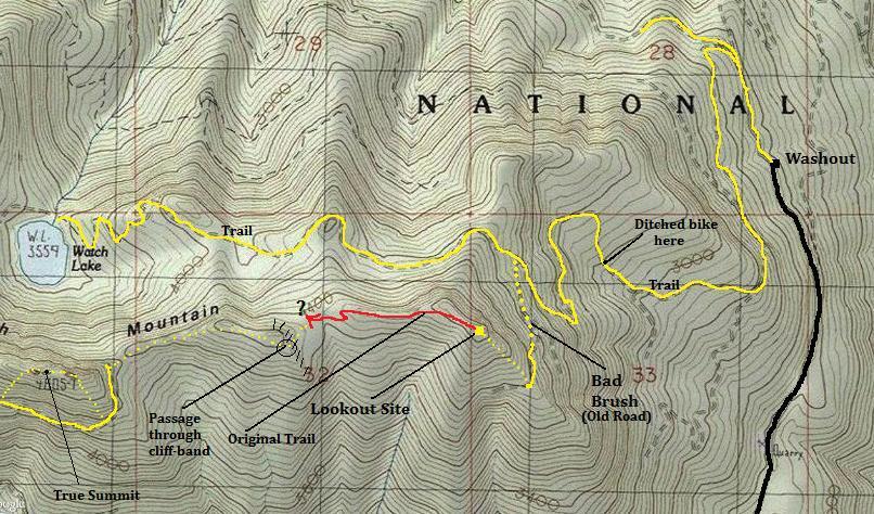
Hike around the washout, then follow the nearly level road 0.3 miles to a Y. Bend left uphill. This old road then climbs up, up, up. I walked my bicycle to 1.5 miles then ditched it when the road bed turned nasty. Soon the trail passes some large open brush areas. The road is overgrowing fast but motorcyclists have helped cut back some of the brush (I met 2 on my return). At around 3,800 feet is an overgrown spur road that switchbacks to the left. You will not see it. GPS got me to the spot. After climbing into the brush, I found the roadbed and started hiking up it. It's not pretty, you will not enjoy weaving all around the branches but it doesn't last too long and when you break out, you are on a nice old road that is blasted out of the mountain side. Enjoy great views hiking up to the southeast ridge. Now leave the road and climb the easy SE ridge up to the lookout spot.
Access
From Randle, get on Silverbrook Road behind the High School. In short distance east, Forest Road 75 heads north into the woods. Follow it for 5.6 miles to the end at a major road washout. This road is in good condition except for a few places where the road is slumping down the hillside. This causes there to be one bad section where it's likely too steep for a non 4-wheel drive vehicle to climb over. Starting from here would add 3.5 boring miles to your trip.
Further exploration
If you want to continue to the standing Watch Mountain Lookout, it is about 2.5 miles of mostly off trail ridge hiking. Along the way, you pass below the true summit of Watch Mountain. It's reached in around 1.6 miles. The woods are generally good for travel except for the occasional fallen old-growth tree that's difficult to get around. Following the original trail down to the first saddle is fun. It's a rather wide trail, likely built for wide loads on horses but maybe a car use to get up...I couldn't tell. Going west from the first saddle climbs up to a long north-south forested cliff band that wraps around in both directions. An old man-made trail appears at the only gap in the cliffs providing a secret entrance through that isn't very visible if you plan to come from the other direction (it's about 200 feet SE from the section 32 highpoint, see map).


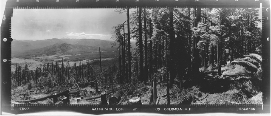
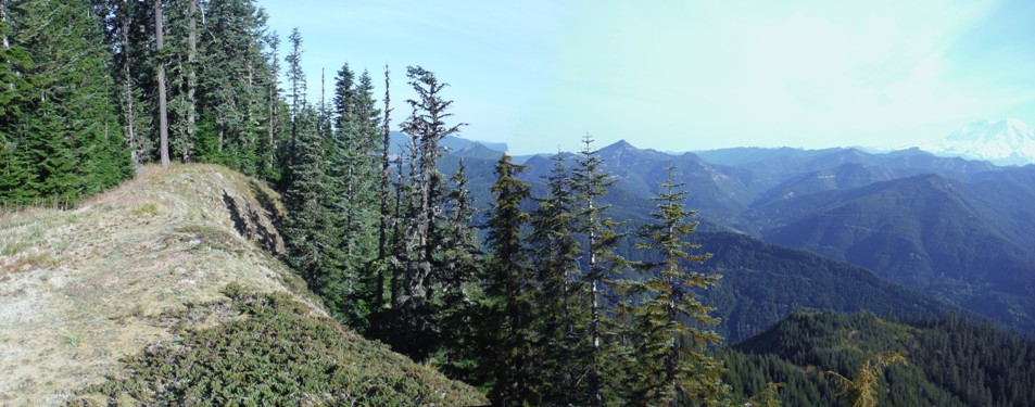
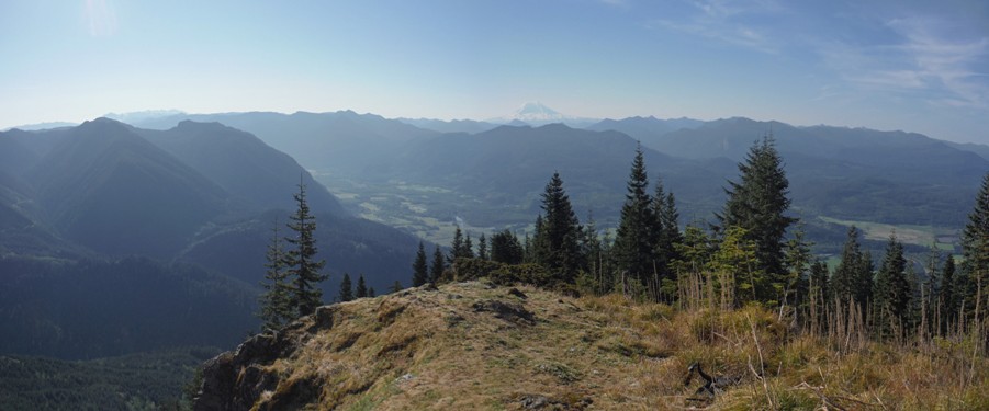
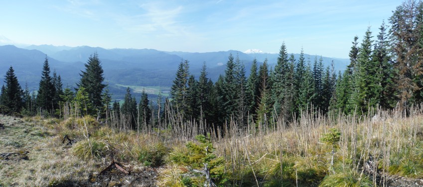
Looking Southwest - 1936
Looking North - 1936
Looking Southeast - 2015
Looking North - 2015
Looking Southwest - 2015
Looking Southeast - 1936
Access trail coming from the west
Trees cut for view only, no logging was accessable at this location.
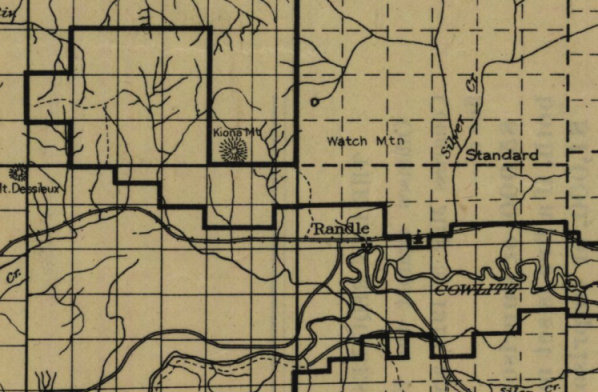
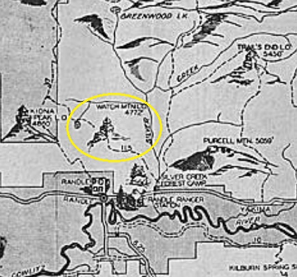
Watch & Kiona on the 1915 map
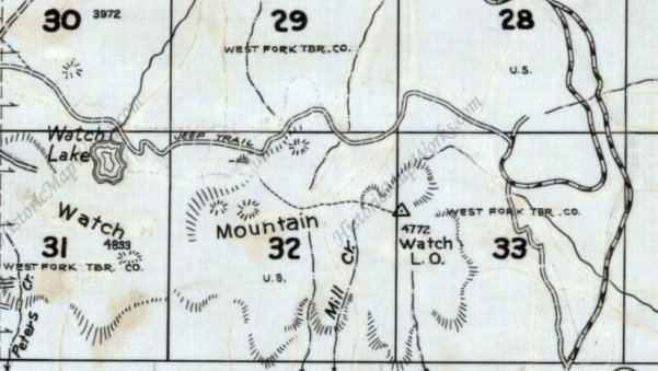
Original Watch Mountain Lookout and trail still being shown on a 1975 metsker map
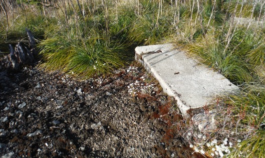
Watch Mountain original lookout
The first step to the lookout in the picture above
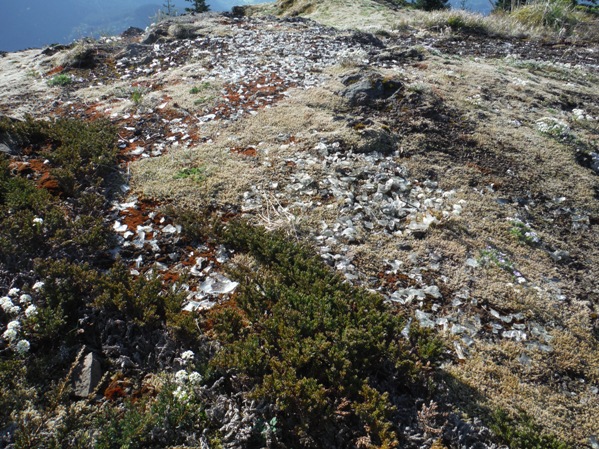
Glass everywhere
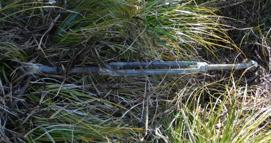
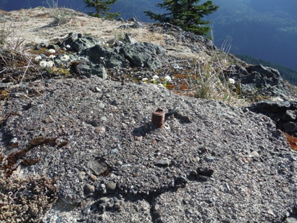
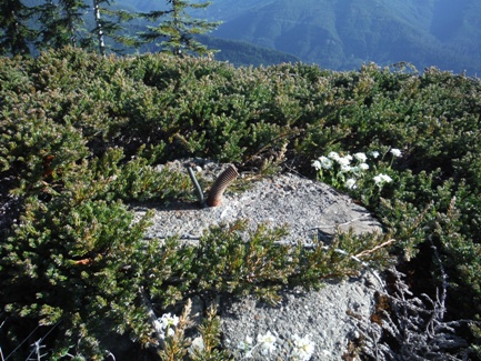
Anchor Bolt
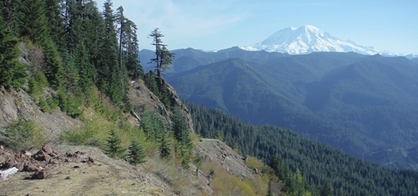
Upper (brush free) portion of the spur road to SE Ridge
Footings
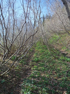
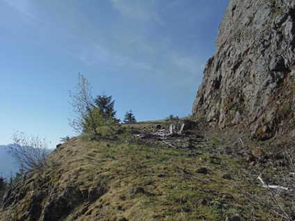
Expensive road cut many years later to reach timber below the lookout
Original Ridge Trail
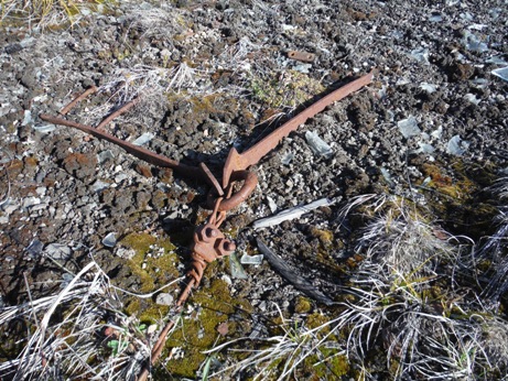
Anchor at lookout
View of the lookout area from the west at tree edge
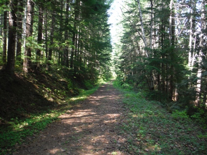
Road walk just past the washout
Overgrown spur road
Charles Boyer and Irma Huntington
My mother and father were on this lookout the first year they were married, in 1938. The only fire my Father ever reported was from this lookout, it was called the Silver Creek Fire. They were up by 8 a.m. They had to check for fires once and hour. They were to telephone twice a day, to the Randle Ranger Station. They were packed in with a pack train and were there for the season. The only time they could leave was if they had a rainy period, then they could walk to town and back. They only had 5 visitors while they were there. Mom said the balls of fire would roll down the lightning rods and go into the ground.
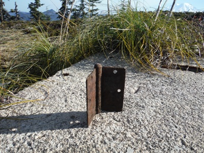
Lots of glass, nails, bolts, insulator pieces and hinges
Watch Mountain 1950
Watch Mountain cab from the west
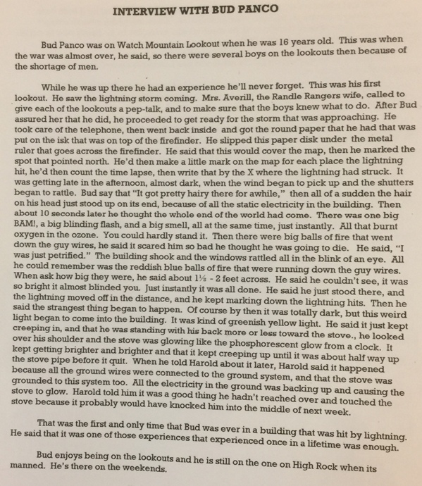
Bud Panco quotes
On Watch Mountain, my uncle and mother came up and spent a day. The packer came up and spent 20 minutes. Two kids got lost looking for Watch Lake and spent the night with me. Other than that, I never saw anyone. Bud Panco, Lookout Guard
I begged, pleaded and cried big crocodile tears not to burn them down. Bud Panco, Lookout Guard
Watch Mountain 1938
Charles Boyer
Columbia National Forest 1940
1937 Recreation Map


